
Moderator: S2k Moderators


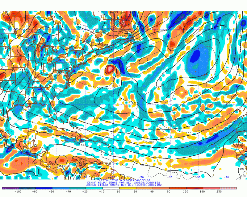
MiamiensisWx wrote:12Z ECMWF shows development beginning in just five days--a rather significant shift by the most credible medium-range model:
Link--144 hours out
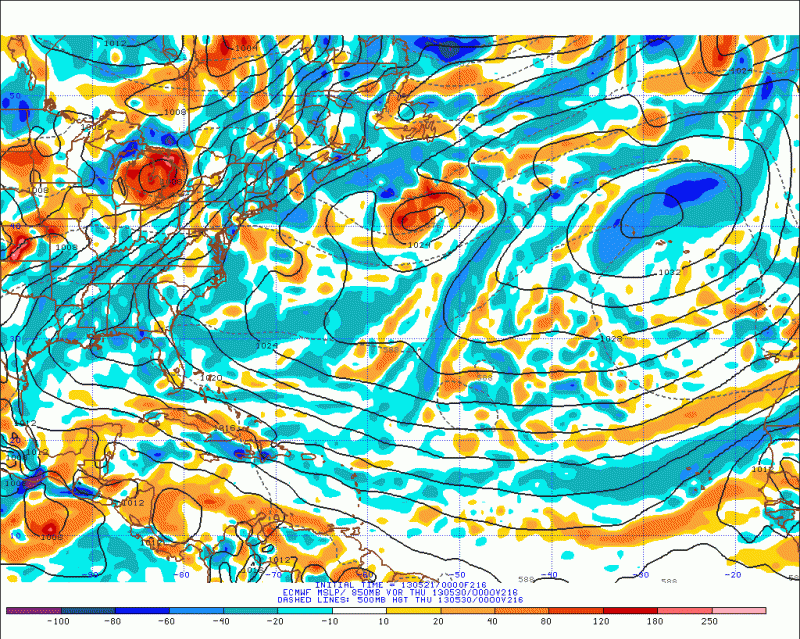
There is an area of vorticity and low pressure just north of Panama in five days. It later migrates NW into the Gulf of Honduras by the end of the run.
wxman57 wrote:MiamiensisWx wrote:12Z ECMWF shows development beginning in just five days--a rather significant shift by the most credible medium-range model:
Link--144 hours out
There is an area of vorticity and low pressure just north of Panama in five days. It later migrates NW into the Gulf of Honduras by the end of the run.
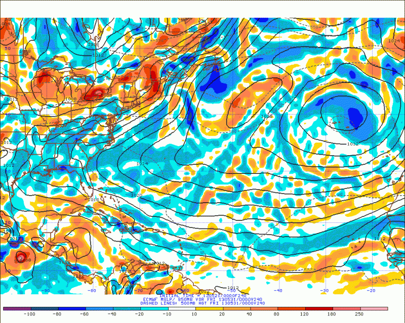
I wouldn't call that development, and the ECMWF is forecasting 50+ kts of shear over that area at 144hrs. The GFS still has weak development in the NW Caribbean at days 14-16, where it has for weeks. I think we're just seeing the standard bogus long-range predictions of development that we see every year at this time.

TropicalAnalystwx13 wrote:http://www.cpc.ncep.noaa.gov/products/precip/CWlink/ghazards/images/gth_full.png
Patience.
floridasun78 wrote:TropicalAnalystwx13 wrote:http://www.cpc.ncep.noaa.gov/products/precip/CWlink/ghazards/images/gth_full.png
Patience.
this update twice a week?

Dean4Storms wrote:12z GFS still spitting out a closed Low east of the Yucatan by the 5th and then takes it northward deepening it toward the Gulf.
Users browsing this forum: hcane27 and 319 guests


