ROCK wrote:this is a tropical air mass and worthy of an invest tag and at least a 0% chance....I have seen worse things tagged. I dont get the NHC thinking sometimes.
Northern GOM
Moderator: S2k Moderators
Forum rules

The posts in this forum are NOT official forecasts and should not be used as such. They are just the opinion of the poster and may or may not be backed by sound meteorological data. They are NOT endorsed by any professional institution or STORM2K. For official information, please refer to products from the National Hurricane Center and National Weather Service.
-
Stormcenter
- S2K Supporter

- Posts: 6685
- Joined: Wed Sep 03, 2003 11:27 am
- Location: Houston, TX
Re: Northern GOM
I agree on all points.
0 likes
-
floridasun78
- Category 5

- Posts: 3755
- Joined: Sun May 17, 2009 10:16 pm
- Location: miami fl

Re: Northern GOM
There is an upper level low at the tail end of the front, buoy 42003 Yo Yoed down to 1010 MB early this morning under some strong thunderstorms but has been steadily rising since at that location.
Usually takes a long time for low pressure to work its way down to the surface, and when it does it is often just a small local pressure difference so unless it happens right over a buoy we won't know till they declare an invest.
Lots of dry shear to blow off any convection even if a surface circulation did get started.
0 likes
-
MississippiWx

- S2K Supporter
- Posts: 1705
- Joined: Sat Aug 14, 2010 1:44 pm
- Location: Hattiesburg, Mississippi
Re: Northern GOM
Shear is not really a big obstacle for the Gulf disturbance. For starters, the area we are all looking at is a cold-core upper low. Therefore, it's not going to be very quick to develop into anything tropical. Another big problem is that it is embedded within a large area of low pressure on the southeast flank of an upper level and surface trough. We need high pressure to build in to the north to cut off a smaller area of low pressure so that it can consolidate and the high pressure to the north would also help with surface convergence. If anything were to develop in the Gulf over the next 2 or 3 days, it would come from something other than this feature we have in the Gulf currently. The Gulf upper low appears to get absorbed into the upper level trough that is currently over the Southern states during the next 12-24 hours. This should make way for lighter shear in the Gulf if any remaining surface trough attempted to develop in the Central or Southern Gulf.

0 likes
This post is not an official forecast and should not be used as such. It is just the opinion of MississippiWx and may or may not be backed by sound meteorological data. It is not endorsed by any professional institution including storm2k.org. For Official Information please refer to the NHC and NWS products.

Re: Northern GOM
We probably will have a lot of disorganized stuff going on in the GOM and BOC for the next several days, Too many for this little noodle. I'll just wait and see as the norm.
GULF OF MEXICO...
AN UPPER LEVEL TROUGH CONTINUES TO SIT OVER THE GULF OF MEXICO
WITH AXIS EXTENDING ALONG 87W. THE UPPER TROUGH SUPPORTS A
STATIONARY FRONT ACROSS THE NORTHERN GULF ALONG 31N87W 28N89W
28N95W 27N98W. A PRE-FRONTAL SURFACE TROUGH IS OUT AHEAD OF THE
FRONT ALONG 31N84W 25N90W. WIDESPREAD SHOWERS/ISOLATED
THUNDERSTORMS COVER MUCH OF THE AREA EAST OF THE SURFACE TROUGH
AND UP TO 80 NM WEST OF THE TROUGH AXIS. SHOWERS/THUNDERSTORMS
CONTINUE OVER MUCH OF FLORIDA. THIS ACTIVITY IS MAINLY IN THE
AREA OF STRONGEST DIFFLUENCE ALOFT. THE REMAINDER OF THE BASIN
IS FAIRLY CLEAR AT THIS TIME DUE TO DRY AIR ALOFT SINKING AROUND
THE WEST SIDE OF THE UPPER TROUGH. WINDS ARE MOSTLY LIGHT OVER
THE WESTERN GULF INCREASING UP TO 15 KT OVER THE EASTERN GULF.
SURFACE TROUGHING IS EXPECTED TO REMAIN OVER THE GULF AND WILL
BEGIN TO MOVE WEST OVER THE NEXT SEVERAL DAYS. MOIST CONDITIONS
WILL REMAIN OVER MUCH OF THE EASTERN GULF.
0 likes
The following post is NOT an official forecast and should not be used as such. It is just the opinion of the poster and may or may not be backed by sound meteorological data. It is NOT endorsed by any professional institution including storm2k.org For Official Information please refer to the NHC and NWS products.
-
Aric Dunn
- Category 5
- Posts: 21238
- Age: 43
- Joined: Sun Sep 19, 2004 9:58 pm
- Location: Ready for the Chase.
- Contact:
mostly all upper level atm.. but this afternoon there appears to be a very weak low forming in the central gulf right under the upper lvl low. not likely to develop given the setup but if it can persist long enough.
0 likes
Note: If I make a post that is brief. Please refer back to previous posts for the analysis or reasoning. I do not re-write/qoute what my initial post said each time.
If there is nothing before... then just ask
Space & Atmospheric Physicist, Embry-Riddle Aeronautical University,
I believe the sky is falling...
If there is nothing before... then just ask
Space & Atmospheric Physicist, Embry-Riddle Aeronautical University,
I believe the sky is falling...
Re: Northern GOM
Aric Dunn wrote:mostly all upper level atm.. but this afternoon there appears to be a very weak low forming in the central gulf right under the upper lvl low. not likely to develop given the setup but if it can persist long enough.
Yeah that little weak low in the central gulf seems to diving south to get tangle up with Western Caribbean wave/trough, I'm starting to believe we might have something to watch a little closer by Tues night or Wensday morning.
0 likes
The following post is NOT an official forecast and should not be used as such. It is just the opinion of the poster and may or may not be backed by sound meteorological data. It is NOT endorsed by any professional institution including storm2k.org For Official Information please refer to the NHC and NWS products.


Re: Northern GOM
Hi all. We are expecting big rain this weekend. Friday is in a red box on the weather channel like they do when they know you're gonna get dumped on, but don't know exactly how badly.
This week has been so much cooler than last. It's liable to be a soggy 4th weekend here in Biloxi. I wouldn't mind some tropical breezes, but I have to work on the beach road and all the main roads flood so badly here.

This week has been so much cooler than last. It's liable to be a soggy 4th weekend here in Biloxi. I wouldn't mind some tropical breezes, but I have to work on the beach road and all the main roads flood so badly here.
0 likes

Re: Northern GOM
HeeBGBz wrote:Hi all. We are expecting big rain this weekend. Friday is in a red box on the weather channel like they do when they know you're gonna get dumped on, but don't know exactly how badly.
This week has been so much cooler than last. It's liable to be a soggy 4th weekend here in Biloxi. I wouldn't mind some tropical breezes, but I have to work on the beach road and all the main roads flood so badly here.
Our Friday is in the red box here as well. Guess we'll get soaked.
0 likes
-
JonathanBelles
- Professional-Met

- Posts: 11430
- Age: 35
- Joined: Sat Dec 24, 2005 9:00 pm
- Location: School: Florida State University (Tallahassee, FL) Home: St. Petersburg, Florida
- Contact:
Anyone else asking the Tampa radar? There have been two low level vortexes that have skated by Tampa Bay. One weaker one is now near New Port Richey. A second stronger one is W of the mouth of Tampa Bay
Last edited by JonathanBelles on Mon Jul 01, 2013 9:01 pm, edited 1 time in total.
0 likes

Re: Northern GOM
I see what your saying....I saw that one eddy spin down to the west and then drop south....but didnt see these 2 because of the clouds....nice catch..
and we cant even get a 0%??? Invest???
and we cant even get a 0%??? Invest???
0 likes
-
tropicwatch

- Category 5
- Posts: 3426
- Age: 62
- Joined: Sat Jun 02, 2007 10:01 am
- Location: Panama City Florida
- Contact:
Re: Northern GOM
It doesn't look like much out in the GOM right now but our local mets are calling for 5-6 inches of rain in the panhandle between now an Friday.
0 likes
Tropicwatch
Agnes 72', Eloise 75, Elena 85', Kate 85', Charley 86', Florence 88', Beryl 94', Dean 95', Erin 95', Opal 95', Earl 98', Georges 98', Ivan 2004', Arlene 2005', Dennis 2005', Ida 2009' Debby 2012' Irma 2017' Michael 2018'
Agnes 72', Eloise 75, Elena 85', Kate 85', Charley 86', Florence 88', Beryl 94', Dean 95', Erin 95', Opal 95', Earl 98', Georges 98', Ivan 2004', Arlene 2005', Dennis 2005', Ida 2009' Debby 2012' Irma 2017' Michael 2018'
-
Ivanhater

- Storm2k Moderator

- Posts: 11166
- Age: 39
- Joined: Fri Jul 01, 2005 8:25 am
- Location: Pensacola
Re: Northern GOM
panamatropicwatch wrote:It doesn't look like much out in the GOM right now but our local mets are calling for 5-6 inches of rain in the panhandle between now an Friday.
Not worried about rain in Vegas for the 4th, but concerned for my family and friends in Pensacola for the fireworks events over the bay and over the island....looks like a wash out
0 likes
Michael
Re: Northern GOM
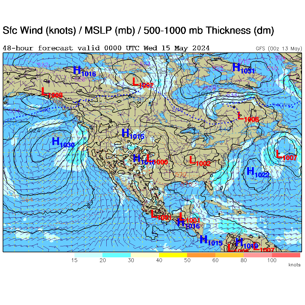
I see the 12z GFS has a very weak low coming from the central gulf. northward to the Miss. coast, just one run and like I said very weak on the 4th.
http://weather.rap.ucar.edu/model/gfs048hr_sfc_mslp.gif
http://weather.rap.ucar.edu/model/gfs048hr_sfc_mslp.gif
0 likes
The following post is NOT an official forecast and should not be used as such. It is just the opinion of the poster and may or may not be backed by sound meteorological data. It is NOT endorsed by any professional institution including storm2k.org For Official Information please refer to the NHC and NWS products.
-
floridasun78
- Category 5
- Posts: 3755
- Joined: Sun May 17, 2009 10:16 pm
- Location: miami fl
-
Stormcenter
- S2K Supporter
- Posts: 6685
- Joined: Wed Sep 03, 2003 11:27 am
- Location: Houston, TX
Is the mass coming off the Yucutan possibly what the GFS is seeing in 48 hours affecting the N. GOM?
http://www.ssd.noaa.gov/goes/east/gmex/flash-avn.html
http://www.ssd.noaa.gov/goes/east/gmex/flash-avn.html
0 likes
-
Dean4Storms
- S2K Supporter
- Posts: 6358
- Age: 62
- Joined: Sun Aug 31, 2003 1:01 pm
- Location: Miramar Bch. FL
Re: Northern GOM
tailgater wrote:I see the 12z GFS has a very weak low coming from the central gulf. northward to the Miss. coast, just one run and like I said very weak on the 4th.
http://weather.rap.ucar.edu/model/gfs048hr_sfc_mslp.gif
The GFS didn't do much with Andrea either and we saw how that turned out.
The CMC is a bit more bullish down to 1009mb but unless the UL winds are really hostile I can't see a closed low not trying to deepen more than that with some of the SST temps out there running in the upper 80's now.
We get a closed low forming near the central Gulf with more than a full day until landfall I could see a pretty good Tropical Storm, Andrea was a sheared mess with much cooler SST's and we saw what went down there!
0 likes

Re: Northern GOM
The area to watch is over the Yucatan Peninusula right now where the tropical wave's axis is.
The GFS has been playing with the idea off and on for the past few days of a weak vorticity forming over the BOC and to move northwards towards TX or LA by this weekend.
What it showed at the 12z run of a low pressure forming on the 4th of July and to move towards the MS coast or FL Panhandle looks erroneous to me because it shows it to develop right by the upper trough.
0 likes
Re:
Stormcenter wrote:Is the mass coming off the Yucutan possibly what the GFS is seeing in 48 hours affecting the N. GOM?
http://www.ssd.noaa.gov/goes/east/gmex/flash-avn.html
I think you are right...area to watch for sure...just got a 10% for a blob over the Yucatan...very nice...
0 likes
-
Dean4Storms
- S2K Supporter
- Posts: 6358
- Age: 62
- Joined: Sun Aug 31, 2003 1:01 pm
- Location: Miramar Bch. FL
Re: Northern GOM
NDG wrote:The area to watch is over the Yucatan Peninusula right now where the tropical wave's axis is.
The GFS has been playing with the idea off and on for the past few days of a weak vorticity forming over the BOC and to move northwards towards TX or LA by this weekend.
What it showed at the 12z run of a low pressure forming on the 4th of July and to move towards the MS coast or FL Panhandle looks erroneous to me because it shows it to develop right by the upper trough.
It's backed by the GGEM as well.
0 likes
Who is online
Users browsing this forum: pepecool20 and 55 guests