#1770 Postby Blown Away » Tue Jul 09, 2013 9:32 am
gatorcane wrote:NHC advisory out soon...you got to think there will be more of a bend to the west towards Florida at the end of the forecast track given the models consensus from the 06Z runs.
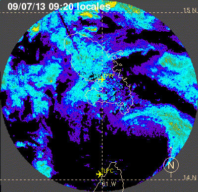
Based on models, not sure where else to send the storm at day 4/5, will there be an S or H in the black circle at day 5?
0 likes
Hurricane Eye Experience: David 79, Irene 99, Frances 04, Jeanne 04, Wilma 05… Hurricane Brush Experience: Andrew 92, Erin 95, Floyd 99, Matthew 16, Irma 17, Ian 22, Nicole 22…