Tropical Wave (Pouch 12L) E Atlantic - (Is Invest 98L)
Moderator: S2k Moderators
Forum rules
The posts in this forum are NOT official forecasts and should not be used as such. They are just the opinion of the poster and may or may not be backed by sound meteorological data. They are NOT endorsed by any professional institution or STORM2K. For official information, please refer to products from the National Hurricane Center and National Weather Service.
Re:
Things are getting a bit anemic when we are now watching 'pouches' but from climatology alone, we are maybe late in the first inning of the season...keeping with the baseball analogy, there is a 'build it and they will come' model Mother Nature seems to follow with getting the ocean and atmosphere ready for the waves.
Back in '04, we were still awaiting the A storm on July 21st - that season was cancelled weeks earlier than this one was no doubt!
Back in '04, we were still awaiting the A storm on July 21st - that season was cancelled weeks earlier than this one was no doubt!
RL3AO wrote:July 21st before we get the season cancels. Not bad. I'd say about average.
0 likes
Re: African "bear watch": E Atlantic development? (Pouch P12L)
ninel conde wrote:NDG wrote:Most likely the 06z GFS run shows a weaker system after it passes to the south of CV Islands because it shows the system on a much further northerly track over sub 26 deg C waters between the 30th and 40th longitude.
Which brings up a good point, that if this disturbance wants to organize as it tracks westward it better stay closer to the 15th latitude between those longitudes, closer to the warm waters and moist environment.
it doesnt appear moist anywhere in the tropics. Bastardi is harping on that non stop now. i think its going to be his excuse for a bad preseason forecast.
I know what you are saying but strong tropical waves like this one usually moist their own environment as long as they stay on a low latitude as they track across the Atlantic when the SAL is active. Good example was TS Chantal, that because its low latitude it was able to survive its track across the Atlantic with a bone dry environment to its north.
This tropical wave gains more latitude than what the GFS showed on previous runs and it will be a big bust.
0 likes
-
ninel conde
Re: African "bear watch": E Atlantic development? (Pouch P12L)
NDG wrote:ninel conde wrote:NDG wrote:Most likely the 06z GFS run shows a weaker system after it passes to the south of CV Islands because it shows the system on a much further northerly track over sub 26 deg C waters between the 30th and 40th longitude.
Which brings up a good point, that if this disturbance wants to organize as it tracks westward it better stay closer to the 15th latitude between those longitudes, closer to the warm waters and moist environment.
it doesnt appear moist anywhere in the tropics. Bastardi is harping on that non stop now. i think its going to be his excuse for a bad preseason forecast.
I know what you are saying but strong tropical waves like this one usually moist their own environment as long as they stay on a low latitude as they track across the Atlantic when the SAL is active. Good example was TS Chantal, that because its low latitude it was able to survive its track across the Atlantic with a bone dry environment to its north.
This tropical wave gains more latitude than what the GFS showed on previous runs and it will be a big bust.
lets hope chantal isnt the best we get this season.
http://weather.unisys.com/satellite/sat ... ®ion=ea
thats a pretty amazing picture. absolutely no convection in the tropics. it doesnt show just off africa but that convection is going to dry up as well.
0 likes
Re: African "bear watch": E Atlantic development? (Pouch P12L)
A Cape Verde season bust in July could be significant but for the fact that it is not Cape Verde season yet!
NHC graphic on storm formation points for the period 1851-2009. Even if you narrow that to the satellite era, we are talking 5 storms forming east of 40W for the July 11 thru July 31 period combining the 2 graphics below.
Chantal was an outlier event given how early she formed so far east - now if a month from now, we are still seeing the same in the east atlantic, totally different story.


0 likes
- cycloneye
- Admin

- Posts: 149471
- Age: 69
- Joined: Thu Oct 10, 2002 10:54 am
- Location: San Juan, Puerto Rico
Re:
RL3AO wrote:Sorry to go off topic, but if you look at the NRL site you will see there are no active invests worldwide at the moment. Hard to tell its late July.
It lasted for only a few hours.
0 likes
Visit the Caribbean-Central America Weather Thread where you can find at first post web cams,radars
and observations from Caribbean basin members Click Here
and observations from Caribbean basin members Click Here
- cycloneye
- Admin

- Posts: 149471
- Age: 69
- Joined: Thu Oct 10, 2002 10:54 am
- Location: San Juan, Puerto Rico
Re: African "bear watch": E Atlantic development? (Pouch P12L)
The pouch is about to emerge to the water with a high moisture content.


0 likes
Visit the Caribbean-Central America Weather Thread where you can find at first post web cams,radars
and observations from Caribbean basin members Click Here
and observations from Caribbean basin members Click Here
- cycloneye
- Admin

- Posts: 149471
- Age: 69
- Joined: Thu Oct 10, 2002 10:54 am
- Location: San Juan, Puerto Rico
Re: African "bear watch": E Atlantic development? (Pouch P12L)
0 likes
Visit the Caribbean-Central America Weather Thread where you can find at first post web cams,radars
and observations from Caribbean basin members Click Here
and observations from Caribbean basin members Click Here
- cycloneye
- Admin

- Posts: 149471
- Age: 69
- Joined: Thu Oct 10, 2002 10:54 am
- Location: San Juan, Puerto Rico
Re: African "bear watch": E Atlantic development? (Pouch P12L)
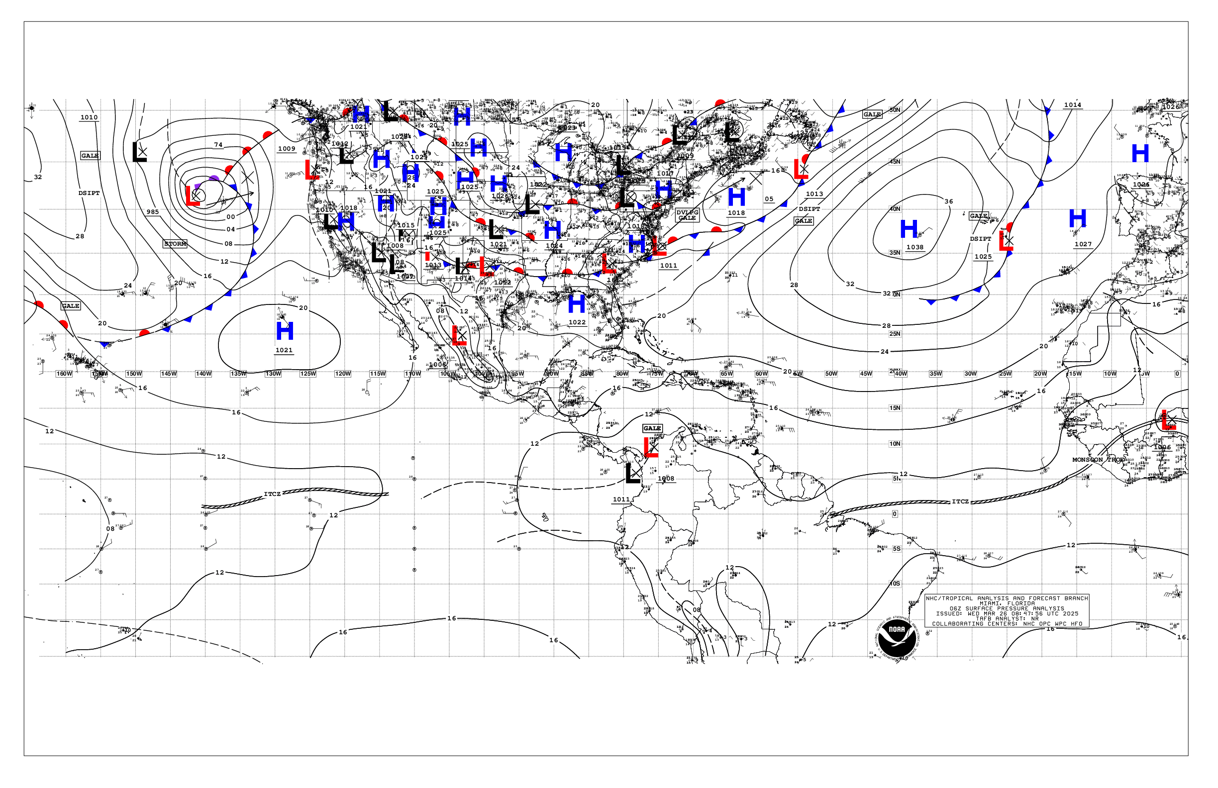
Tropical Wave is introduced on the 12z Surface Analysis but without a low pressure. Miamiwx,modified title to add Tropical Wave.


0 likes
Visit the Caribbean-Central America Weather Thread where you can find at first post web cams,radars
and observations from Caribbean basin members Click Here
and observations from Caribbean basin members Click Here
- Fego
- S2K Supporter

- Posts: 767
- Age: 66
- Joined: Sun Apr 18, 2004 7:58 pm
- Location: San Juan, Puerto Rico
- Contact:
- SFLcane
- S2K Supporter

- Posts: 10281
- Age: 48
- Joined: Sat Jun 05, 2010 1:44 pm
- Location: Lake Worth Florida
Re: Tropical Wave (Pouch 12L) E Atlantic developmemt?
With little to no model support the GFS appears to having Convective issues per NHC.
0 likes
- Riptide
- Category 2

- Posts: 753
- Age: 34
- Joined: Fri Jul 23, 2010 3:33 pm
- Location: Cape May, New Jersey
- Contact:
Re: Tropical Wave (Pouch 12L) E Atlantic developmemt?
SFLcane wrote:With little to no model support the GFS appears to having Convective issues per NHC.
Nonetheless should be monitored. It was always a long-shot and there is very little convection in the Atlantic, revealing the unfavorable patterns. Other than poor downstream conditions, the wave itself is rather robust.
0 likes
-
WeatherEmperor
- S2K Supporter

- Posts: 4806
- Age: 42
- Joined: Thu Sep 04, 2003 2:54 pm
- Location: South Florida
Re: Tropical Wave (Pouch 12L) E Atlantic developmemt?
RL3AO wrote:July 21st before we get the season cancels. Not bad. I'd say about average.
I think part of the frustration comes from the fact that a particular model or set of models like the GFS shows development of a tropical cyclone for like 5,6,7 consecutive runs which gives many the impression that maybe something will develop after all and then all of a sudden the GFS drops it. This development teasing, if you may, causes frustration for some people. I dont think this is the only reason for the season cancel posts but it plays a huge rule in that.
Sent from my HTC EVO 4G LTE
0 likes
- SFLcane
- S2K Supporter

- Posts: 10281
- Age: 48
- Joined: Sat Jun 05, 2010 1:44 pm
- Location: Lake Worth Florida
Re: Tropical Wave (Pouch 12L) E Atlantic developmemt?
Riptide wrote:SFLcane wrote:With little to no model support the GFS appears to having Convective issues per NHC.
Nonetheless should be monitored. It was always a long-shot and there is very little convection in the Atlantic, revealing the unfavorable patterns. Other than poor downstream conditions, the wave itself is rather robust.
Still plenty dry across the basin.
0 likes
- cycloneye
- Admin

- Posts: 149471
- Age: 69
- Joined: Thu Oct 10, 2002 10:54 am
- Location: San Juan, Puerto Rico
Re: Tropical Wave (Pouch 12L) E Atlantic developmemt?
Two tweets by Levi Cowan:
Levi Cowan @TropicalTidbits 10m
July pattern means we might get Chantal-like system: on-edge between development and no development. Will have to watch regardless.
Levi Cowan @TropicalTidbits 22m
Two runs in a row of the GFS have now failed to develop the wave about to exit Africa. Development has never been supported by another model.
https://twitter.com/tropicaltidbits
0 likes
Visit the Caribbean-Central America Weather Thread where you can find at first post web cams,radars
and observations from Caribbean basin members Click Here
and observations from Caribbean basin members Click Here
Who is online
Users browsing this forum: No registered users and 153 guests


