
Moderator: S2k Moderators


ouragans wrote:we were 12 hrs ahead in schedule. Yellow (10%) at 12z
when was the last time we had a Yellow that far east in the Atlantic?


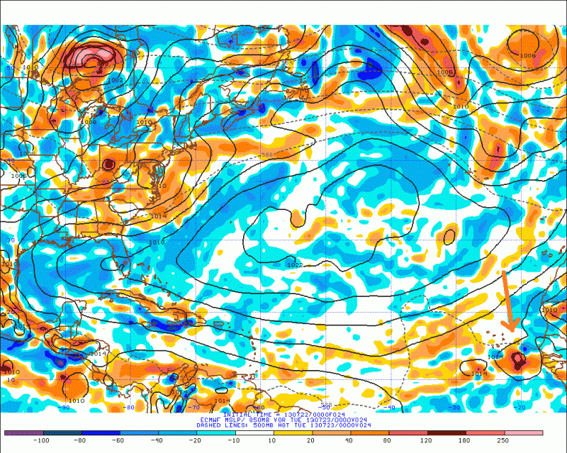
Blown Away wrote:06z GFS...Weak low across the pond...Dissipates above PR...Conditions between 20-25N/60-80W have not been that favorable for what seems like a few seasons...
http://www.tropicaltidbits.com/analysis ... opics.html
wxman57 wrote:If you go back to last week at this time, the GFS didn't move the developing disturbance off the west coast of Africa until this coming Friday or Saturday. That was true up through last Wed/Thu. It moved into the east Caribbean around the 2nd or 3rd of August. On Friday, the GFS began focusing on a different disturbance that moved offshore this past weekend. Completely different system.
You can go back to the 12th and note when the system was forecast to move offshore:
http://www.tropicaltidbits.com/analysis/models/gfs/
Blown Away wrote:Do you think the GFS going back/forth with developing this low factors into the 10%?


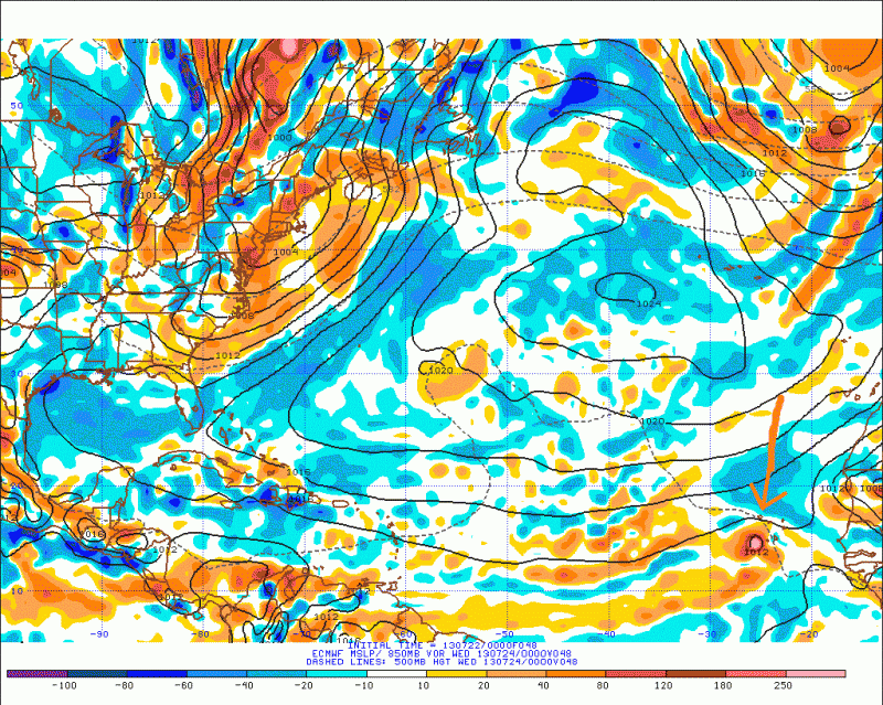
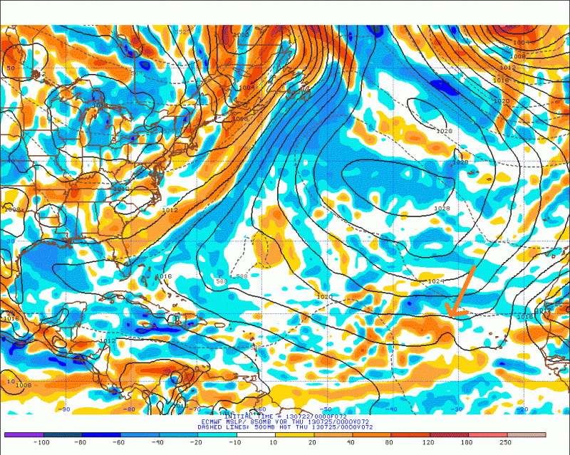
TropicalAnalystwx13 wrote:I think the chances of this thing developing are pretty decent. The wave is already stronger than it should be because of the stronger-than-average Africa Easterly Jet created due to the temperature difference between the hot Sahara Desert and the cool Gulf of Guinea, and it's exiting into waters of approximately 27C. A nice upper-level anticyclone aloft should provide a favorable wind shear environment, and a large moisture bubble should help protect it from the dry air and SAL. In addition, a rapidly-moving convectively-coupled kelvin wave from the west should help generate thunderstorm activity as the wave tracks west and 10-15 mph.
I don't see this dying and moving more northerly like much of the models depict.
Users browsing this forum: Blown Away and 124 guests


