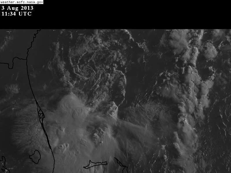
jinftl wrote:From NHC Discussion - keep in mind, we are talking a td, not hurricane andrew
RADAR AND SATELLITE IMAGERY THIS MORNING INDICATE THAT THE
CONVECTION ASSOCIATED WITH THE LOW PRESSURE SYSTEM...THE REMNANTS
OF DORIAN...LOCATED EAST OF CAPE CANAVERAL FLORIDA HAS INCREASED
AND BECOME BETTER ORGANIZED AROUND THE CIRCULATION CENTER. ASCAT-B
AND ASCAT-A OVERPASSES AT 0200 UTC AND 0244 UTC...RESPECTIVELY...
DEPICTED A LARGE AREA OF 30-KT WINDS IN THE SOUTHEASTERN QUADRANT
ALONG WITH A COUPLE OF ISOLATED 35- TO 36-KT VECTORS. IN
ADDITION...DOPPLER VELOCITY DATA FROM THE MELBOURNE FLORIDA WSR-88D
RADAR HAS OCCASIONALLY BEEN INDICATING PATCHES OF 35- TO 40-KT
WINDS WITH ISOLATED VALUES TO 45 KT AT 5000-5500 FT ON THE SOUTH
SIDE OF THE CIRCULATION. BASED ON ALL OF THE AFOREMENTIONED DATA...
ADVISORIES ARE BEING RE-INITIATED ON TROPICAL DEPRESSION DORIAN.bahamaswx wrote:NDG wrote:Why would they upgrade a decapitated swirl of low clouds? The LLC Is all the way close to the 30th latitude while the MLC is where the convection is, and dying. Very weird.
Yeah I don't get it either. I guess they have evidence of something else at the surface in the convection.
Like I said, it should had been upgraded last night if they are basing it out of the ASCAT pass which one was 10 PM and the other one at 10:44 PM.
You can clearly see the LLC shooting out of the convection (now approaching 30.2N & 79W) before they upgraded it this morning at 5 AM.


