

hurricaneCW wrote:Could wreck havoc on PR and DR, how much rain is expected?
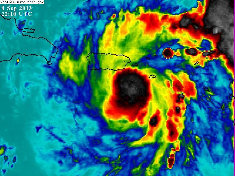
.HYDROLOGY...FLOW WILL INCREASE ACROSS THE ISLAND...BUT THE
RAINFALL WILL BECOME MORE CONCENTRATED AROUND THE CORE OF THE
SYSTEM FOR NOW. THEREFORE LITTLE CHANGE IS ANTICIPATED TO THE
RAINFALL AMOUNTS EXPECTED ACROSS THE AREA. WE CONTINUE TO LOOK FOR
3-6 INCHES ACROSS SOUTHEASTERN PUERTO RICO IN THE FIRST 24 HOURS
AND 5 TO 10 IN THE NEXT 48 HOURS. LESSER AMOUNTS WILL FALL OVER
THE LEEWARD SIDE OF THE ISLAND AND LESS THAN 1-2 INCHES IS
EXPECTED IN THE U.S. VIRGIN ISLANDS.


