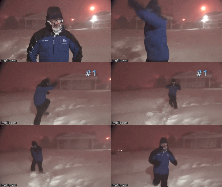
A special holiday season message from the desk of the Lead Meteorologist from the Portastorm Weather Center in scenic southwest Travis County:As mentioned already by
Ntxw and
srainhoutx, the latest teleconnection indices and forecasts are quite interesting. If verified, we will be heading into a period of an increasingly negative Pacific/North American (PNA) pattern which features high pressure ridges in the western US (depending on placement, sometimes the ridge covers a good third of the Western US and sometimes the ridging is more towards the Pacific coast). Depending on the placement of the ridging, it could be a vehicle to deliver cold (very cold) air from Canada/Alaska/North Pole/Siberia into the lower 48, namely the central and eastern CONUS. And, we still see the indices suggesting a negative EPO although the strength of the negativity may wane a bit. You will recall that a negative EPO comes from strong high pressure ridging in the northeast Pacific. This ridge of high pressure blocks the jet stream and forces it to go up and over the high cell. We're also seeing some suggestion that the Arctic Oscillation (AO) will go to neutral after being strongly positive for awhile. A neutral AO should help funnel more cold air south into the CONUS.
What does all of this mean? It appears that we're shaping up for an active period of winter weather towards New Years and certainly into 2014. There's no question that this winter -- as wxman57 points out hasn't even technically started yet! -- already is much different than the last few. Get ready folks ... I think we're going to have a lot to talk about soon enough.

Oh, and I should add that the Winter Solstice officially begins tomorrow, Saturday, Dec. 21st, at 11:11 am Central time!
Graphic below to support outlandish claims above:

Uploaded with
ImageShack.us
 The posts in this forum are NOT official forecast and should not be used as such. They are just the opinion of the poster and may or may not be backed by sound meteorological data. They are NOT endorsed by any professional institution or


 . He will make it the hottest hottest summer ever trumping 2011 like child's play!


