This is from the San Juan NWS discussing about what some models show in the area.
.DISCUSSION...CONDITIONS WILL BECOME MORE FVRBL FOR THE
DEVELOPMENT OF SHOWERS AND THUNDERSTORMS AS THE WEEK PROGRESSES AS
HEIGHTS FALL AND MID LEVEL TEMPS COOL DOWN AS TROF OVR THE SW ATLC
DEEPENS AND EVOLVES INTO A CLOSED LOW NORTH OF PR BY FRI. AS
CONVECTION BECOMES DEEPER IT WILL BE STEERED BY THE 0-6KM WINDS
WITH STEERING CURRENTS BECOMING BETTER DEFINED ON WED FROM THE SSW
FAVORING CONVECTION OVR NORTHEAST PR WED AND ERN
PR...CULEBRA...VIEQUES AND USVI THU AND SRN PR ON FRI.
TROF AXIS SHIFTS EAST OF THE AREA SAT WITH UPPER LOW GRADUALLY
FILLING ACCORDING TO THE LATEST 12Z GEFS MEAN ALTHOUGH SPAGHETTI
PLOT INDICATES UPPER LOW COULD MEANDER FARTHER WEST OVR THE MONA
PASSAGE AS SUGGESTED BY THE 00Z ECMWF AND SOME GEFS MEMBERS. THIS
ALTERNATE SCENARIO WOULD RESULT IN A MORE PROLONGED PERIOD OF
UNSETTLED WX AND MORE RAINFALL. USING THE 12Z GEFS MEAN AS THE
MOST LIKELY SCENARIO THE MOST ACTIVE WX SHOULD OCCUR ON THU WITH
THE WORST CONDITIONS OVR THE USVI. THE LATEST TREND ALSO SUGGESTS
LESSER RAINFALL ACCUMULATIONS FOR MAINLAND PR THAN IN PREVIOUS
RUNS. ALSO...CUTOFF LOWS ARE NOTORIOUS FOR BEING BIG SEVERE WX
PRODUCERS AND H5 TEMPS ARE EXPECTED TO BE VERY COLD FOR THIS TIME
OF THE YEAR(-11C) SO HAIL AND STRONG WINDS ARE ALSO A POSSIBILITY.
WEATHER GRADUALLY BEGINS TO IMPROVE EARLY NEXT WEEK AS TROF FILLS
AND PULLS AWAY AND HEIGHTS RISE.
Global model runs discussion
Moderator: S2k Moderators
-
cycloneye

- Admin

- Posts: 149508
- Age: 69
- Joined: Thu Oct 10, 2002 10:54 am
- Location: San Juan, Puerto Rico
Re: Global Model Runs Discussion
0 likes
Visit the Caribbean-Central America Weather Thread where you can find at first post web cams,radars
and observations from Caribbean basin members Click Here
and observations from Caribbean basin members Click Here
GFS
An unanalyized GFS map shows some sort of system moving up towards South Florida from the Caribbean by Day 7 and moves N then NE by Days 8 and 9...
I wouldn't mention it but it's been in previous runs so perhaps something...
http://www.weatherstreet.com/states/gfs ... recast.htm
I wouldn't mention it but it's been in previous runs so perhaps something...
http://www.weatherstreet.com/states/gfs ... recast.htm
0 likes
-
HURRICANELONNY
- Category 5

- Posts: 1392
- Joined: Wed May 07, 2003 6:48 am
- Location: HOLLYWOOD.FL
Re: Global Model Runs Discussion
Miami discussion mentions it to:
For the early to middle part of next week, both the GFS and European model (ecmwf) have stayed consistent in showing an inverted surface trough approaching South Florida from the southeast with increasing moisture, especially Tue-Wed. Model trends suggest a possible low development (sub-tropical perhaps) favored off the Florida Atlantic coast with movement off to the northeast as an incoming middle/upper level trough shunts this off to the east by Thursday. Have placed chance probability of precipitation in the Tuesday- Wednesday timeframe. Placement of the trough/low is uncertain and will have implications on whether we stay on the dry side of this feature or wet side. /Gregoria
For the early to middle part of next week, both the GFS and European model (ecmwf) have stayed consistent in showing an inverted surface trough approaching South Florida from the southeast with increasing moisture, especially Tue-Wed. Model trends suggest a possible low development (sub-tropical perhaps) favored off the Florida Atlantic coast with movement off to the northeast as an incoming middle/upper level trough shunts this off to the east by Thursday. Have placed chance probability of precipitation in the Tuesday- Wednesday timeframe. Placement of the trough/low is uncertain and will have implications on whether we stay on the dry side of this feature or wet side. /Gregoria
0 likes
hurricanelonny
-
Riptide

- Category 2

- Posts: 753
- Age: 34
- Joined: Fri Jul 23, 2010 3:33 pm
- Location: Cape May, New Jersey
- Contact:
Re: Global Model Runs Discussion
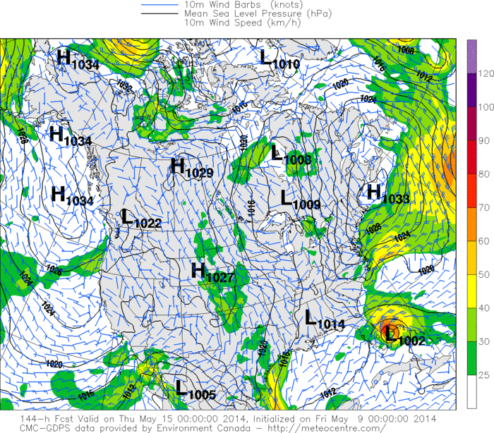
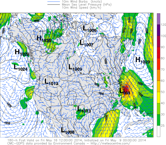
12z GGEM and 12z Euro featured a significant sub-tropical or tropical system off the SE Coast 9 days out.
0 likes
-
TheStormExpert
Re: Global Model Runs Discussion
Riptide wrote:12z GGEM and 12z Euro featured a significant sub-tropical or tropical system off the SE Coast 9 days out.
Could you please show us the links or images?
0 likes
-
Riptide
- Category 2
- Posts: 753
- Age: 34
- Joined: Fri Jul 23, 2010 3:33 pm
- Location: Cape May, New Jersey
- Contact:
Re: Global Model Runs Discussion
TheStormExpert wrote:Riptide wrote:12z GGEM and 12z Euro featured a significant sub-tropical or tropical system off the SE Coast 9 days out.
Could you please show us the links or images?


Full 12z GGEM loop
http://www.tropicaltidbits.com/analysis ... _watl.html
0 likes

Seems to be the first semi-realistic chance of anything developing this year (since I'm excluding the usual Caribbean-development-at-end-of-run that we start getting in May). What's particularly interesting is that as the time frame gets closer, the models seem to be getting stronger with it, and aren't pushing it further back as it gets closer like we saw so often last year.
0 likes
The above post is not official and should not be used as such. It is the opinion of the poster and may or may not be backed by sound meteorological data. It is not endorsed by any professional institution or storm2k.org. For official information, please refer to the NHC and NWS products.

Re: Global Model Runs Discussion
It never fails, our crazy uncle is back again this year.
Last night's run shows the disturbance that both the GFS and ECMWF also to move over the Bahamas next week develop move northward hugging the eastern FL coast and making landfall in N.C. as a strong tropical or subtropical system.
Last night's run shows the disturbance that both the GFS and ECMWF also to move over the Bahamas next week develop move northward hugging the eastern FL coast and making landfall in N.C. as a strong tropical or subtropical system.
0 likes
-
CourierPR

- Category 5
- Posts: 1336
- Age: 72
- Joined: Tue Aug 31, 2004 7:53 pm
- Location: Pompano Beach, Florida
Re: Global Model Runs Discussion
[quote="NDG"]It never fails, our crazy uncle is back again this year.
Last night's run shows the disturbance that both the GFS and ECMWF also to move over the Bahamas next week develop move northward hugging the eastern FL coast and making landfall in N.C. as a strong tropical or subtropical system.
Surprisingly, Joe Bastardi says this system won't be tropical.
Last night's run shows the disturbance that both the GFS and ECMWF also to move over the Bahamas next week develop move northward hugging the eastern FL coast and making landfall in N.C. as a strong tropical or subtropical system.
Surprisingly, Joe Bastardi says this system won't be tropical.
0 likes
-
OuterBanker
- S2K Supporter

- Posts: 1761
- Joined: Wed Feb 26, 2003 10:53 am
- Location: Nags Head, NC
- Contact:
Re: Global Model Runs Discussion
Apparently the CMC has already moved quite a bit west making landfall in Ga. It seems the CMC is unaware that storms aren’t supposed to hit Ga directly. The other model hitting NC was the GEM which is even less reliable than the CMC. Until I see the Euro or the GFS show something I won’t bother wasting my time. Latest long term GFS is interesting though. It isn’t the PR system but it does have a low originate off the NC coast then a 360 loop through New England back off the NC coast starting on the 21st. What the heck, it may be the only thing we get to talk about this year according to most of the posts.
0 likes


Re: Global Model Runs Discussion
OuterBanker wrote:Apparently the CMC has already moved quite a bit west making landfall in Ga. It seems the CMC is unaware that storms aren’t supposed to hit Ga directly. The other model hitting NC was the GEM which is even less reliable than the CMC. Until I see the Euro or the GFS show something I won’t bother wasting my time. Latest long term GFS is interesting though. It isn’t the PR system but it does have a low originate off the NC coast then a 360 loop through New England back off the NC coast starting on the 21st. What the heck, it may be the only thing we get to talk about this year according to most of the posts.
Errrr, I'm pretty sure the GEM and the CMC are the same model.
0 likes
-
OuterBanker
- S2K Supporter
- Posts: 1761
- Joined: Wed Feb 26, 2003 10:53 am
- Location: Nags Head, NC
- Contact:
-
wxman57

- Moderator-Pro Met

- Posts: 23175
- Age: 68
- Joined: Sat Jun 21, 2003 8:06 pm
- Location: Houston, TX (southwest)
Re: Global Model Runs Discussion
Same thing the Canadian was predicting for today/tomorrow a week ago. I don't see any storm there now...
0 likes
-
hurricanehunter69
- Category 1

- Posts: 344
- Joined: Sun May 16, 2010 5:21 pm
- Location: New Orleans
Re: Global Model Runs Discussion
For several days in a row now.....the models are consistently trying to spin something up in the caribbean? Right on cue with the start of the season. http://mag.ncep.noaa.gov/Image.php?fhr= ... =&ps=model
0 likes
-
cycloneye
- Admin
- Posts: 149508
- Age: 69
- Joined: Thu Oct 10, 2002 10:54 am
- Location: San Juan, Puerto Rico
Re: Global Model Runs Discussion
Only for entertainment.

0 likes
Visit the Caribbean-Central America Weather Thread where you can find at first post web cams,radars
and observations from Caribbean basin members Click Here
and observations from Caribbean basin members Click Here
-
tolakram
- Admin
- Posts: 20186
- Age: 62
- Joined: Sun Aug 27, 2006 8:23 pm
- Location: Florence, KY (name is Mark)
Re: Global Model Runs Discussion
Last year the models showed nothing, so far they seem to be grabbing a few phantom storms. I wonder if this is any indication about the chances of development, at least early in this season.
0 likes
M a r k
- - - - -
Join us in chat: Storm2K Chatroom Invite. Android and IOS apps also available.
The posts in this forum are NOT official forecasts and should not be used as such. Posts are NOT endorsed by any professional institution or STORM2K.org. For official information and forecasts, please refer to NHC and NWS products.
-
northjaxpro

- S2K Supporter
- Posts: 8900
- Joined: Mon Sep 27, 2010 11:21 am
- Location: Jacksonville, FL
There is nothing coming down the pike anytime soon folks. A big upper ridge is becoming established along the Gulf Coast and over Florida for several days to come, and I don't foresee tropical or subtropical systems developing through at least the next ten days or possibly longer. The only remote area of possible activity may be along the stalled out boundary down near Hispaniola and down into the central Carribean in the coming days. However, I am not expecting any activity anytime soon.
0 likes
NEVER, EVER SAY NEVER in the tropics and weather in general, and most importantly, with life itself!!
________________________________________________________________________________________
Fay 2008 Beryl 2012 Debby 2012 Colin 2016 Hermine 2016 Julia 2016 Matthew 2016 Irma 2017 Dorian 2019
________________________________________________________________________________________
Fay 2008 Beryl 2012 Debby 2012 Colin 2016 Hermine 2016 Julia 2016 Matthew 2016 Irma 2017 Dorian 2019

Re: Global Model Runs Discussion
The GFS has been quite consistent in developing the Caribbean system. It also keeps moving the time frame of development up. May not be a phantom
0 likes
-
northjaxpro
- S2K Supporter
- Posts: 8900
- Joined: Mon Sep 27, 2010 11:21 am
- Location: Jacksonville, FL
Re: Global Model Runs Discussion
Alyono wrote:The GFS has been quite consistent in developing the Caribbean system. It also keeps moving the time frame of development up. May not be a phantom
Well, there is a remote chance right now that conditions may get favorable in a few days for that area I referenced near Hispaniola and the central Caribbean. If that area persists into next week, then I will start paying more attention.
0 likes
NEVER, EVER SAY NEVER in the tropics and weather in general, and most importantly, with life itself!!
________________________________________________________________________________________
Fay 2008 Beryl 2012 Debby 2012 Colin 2016 Hermine 2016 Julia 2016 Matthew 2016 Irma 2017 Dorian 2019
________________________________________________________________________________________
Fay 2008 Beryl 2012 Debby 2012 Colin 2016 Hermine 2016 Julia 2016 Matthew 2016 Irma 2017 Dorian 2019
-
Dean4Storms
- S2K Supporter
- Posts: 6358
- Age: 63
- Joined: Sun Aug 31, 2003 1:01 pm
- Location: Miramar Bch. FL
Re: Global Model Runs Discussion
CFSv2 as well as ECM continue to hint at lowering pressures over the western Carib. first week of June and the CFSv2 is also showing heavy rainfall for southern half of Florida in that time frame. Something to watch i guess!
0 likes
Who is online
Users browsing this forum: No registered users and 68 guests