#4719 Postby dexterlabio » Sat Jun 07, 2014 10:08 pm
cycloneye wrote:Here is a interesting discussion that Levi Cowan made at WU about how things are not working in a uniform way to promote El Nino right away.
It is intriguing to ponder why the atmosphere can "resist" an El Nino state, such as it is doing right now. Sometimes this happens even when it was a WWB that drove the initial warming of the equatorial Pacific in the first place. The atmosphere and ocean may be coupled, but they can fight each other, and what causes them to fight instead of cooperate is a fascinating question.
This year, it may be the incredible warmth of the Indian Ocean and western Pacific relative to a typical El Nino. Usually those waters are much colder than they are right now when an El Nino is developing, and this may be throwing a monkey-wrench into the inverted Walker Circulation that El Nino typically promotes.
I remember some posts months ago comparing the SST maps of 1997 and 2014...at some point, yes, there was a resemblance but the warm water stuck east of PI this year is where the difference lies. I think I pointed it out before but I was thinking that it wouldn't matter too much...
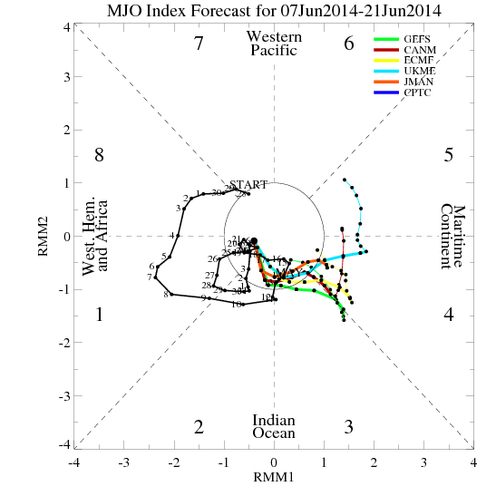
Right now, the waters in the South China Sea and WPAC are just as warm, if not warmer, than the waters in far eastern Pacific. If I'm not mistaken, we need another round of strong WWB (or a strong, fast-moving MJO) to transport the warmth towards the east to get this Nino going...
0 likes
Personal Forecast Disclaimer:
The posts in this forum are NOT official forecast and should not be used as such. They are just the opinion of the poster and may or may not be backed by sound meteorological data. They are NOT endorsed by any professional institution or storm2k.org. For official information, please refer to the NHC and NWS products.