 Interesting feature over the Gulf stream off of the East Coast of Florida looking at the SAT imagery loops this morning...any idea what this is?
http://www.ssd.noaa.gov/PS/FIRE/fires-fl-vis-loop.html
Moderator: S2k Moderators


 Interesting feature over the Gulf stream off of the East Coast of Florida looking at the SAT imagery loops this morning...any idea what this is?


Nimbus wrote:I saw that area this morning before the tops got blown off.
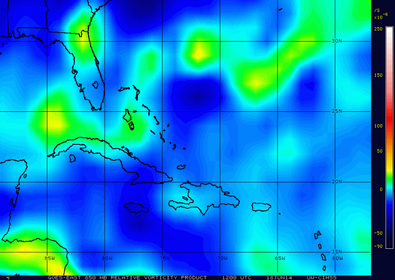
Probably too much shear for it to persist but there is vorticity.


crownweather wrote:HRRR model simulated radar imagery is showing some interesting things as it shows convection trying to "wrap around" the mid and upper level low. Wondering if the very short range models may be trying to show something. Shear isn't all that bad (15-20 knots) either.


Users browsing this forum: gib, hurricanes1234 and 183 guests


