Off SE U.S coast (Is Invest 91L)
Moderator: S2k Moderators
Forum rules
The posts in this forum are NOT official forecasts and should not be used as such. They are just the opinion of the poster and may or may not be backed by sound meteorological data. They are NOT endorsed by any professional institution or STORM2K. For official information, please refer to products from the National Hurricane Center and National Weather Service.
- cycloneye
- Admin

- Posts: 149503
- Age: 69
- Joined: Thu Oct 10, 2002 10:54 am
- Location: San Juan, Puerto Rico
Off SE U.S coast (Is Invest 91L)
Will we get in some form Arthur from this? Surely things are more favorable there than in the MDR/Caribbean/GOM.
TROPICAL WEATHER OUTLOOK
NWS NATIONAL HURRICANE CENTER MIAMI FL
800 PM EDT WED JUN 25 2014
For the North Atlantic...Caribbean Sea and the Gulf of Mexico:
A low pressure area could form off of the southeastern coast of
the United States by early next week. Some development of this
system is possible if it remains over water while it drifts
southward or southwestward.
* Formation chance through 48 hours...low...near 0 percent.
* Formation chance through 5 days...low...20 percent.
$$
Forecaster Stewart
0 likes
Visit the Caribbean-Central America Weather Thread where you can find at first post web cams,radars
and observations from Caribbean basin members Click Here
and observations from Caribbean basin members Click Here
- Hurricaneman
- Category 5

- Posts: 7404
- Age: 45
- Joined: Tue Aug 31, 2004 3:24 pm
- Location: central florida
Re: Off SE U.S coast
The area that needs to monitor this one is the SE coast and Florida if model projections are close to correct
The posts in this forum are NOT official forecast and should not be used as such. They are just the opinion of the poster and may or may not be backed by sound meteorological data. They are NOT endorsed by any professional institution or storm2k.org. For official information, please refer to the NHC and NWS products
The posts in this forum are NOT official forecast and should not be used as such. They are just the opinion of the poster and may or may not be backed by sound meteorological data. They are NOT endorsed by any professional institution or storm2k.org. For official information, please refer to the NHC and NWS products
0 likes
- cycloneye
- Admin

- Posts: 149503
- Age: 69
- Joined: Thu Oct 10, 2002 10:54 am
- Location: San Juan, Puerto Rico
Re: Off SE U.S coast?
GFS ha a weak low at 18z.Let's see if the models pick it up in next runs.


0 likes
Visit the Caribbean-Central America Weather Thread where you can find at first post web cams,radars
and observations from Caribbean basin members Click Here
and observations from Caribbean basin members Click Here
Re: Off SE U.S coast?
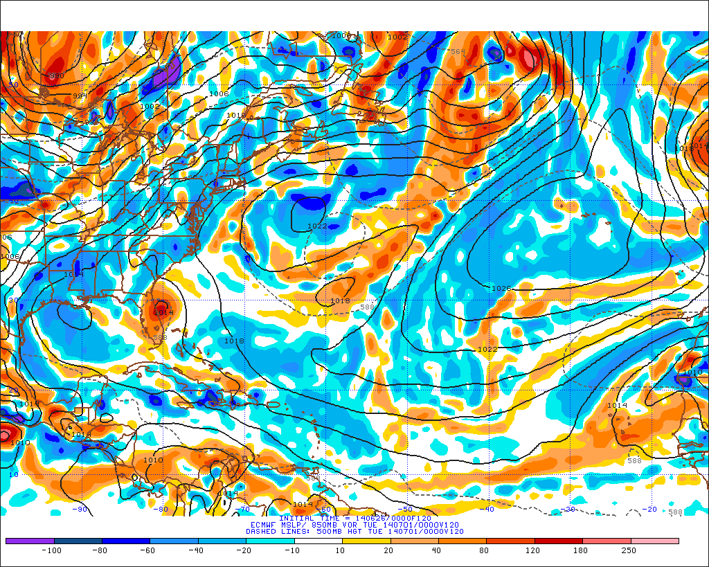
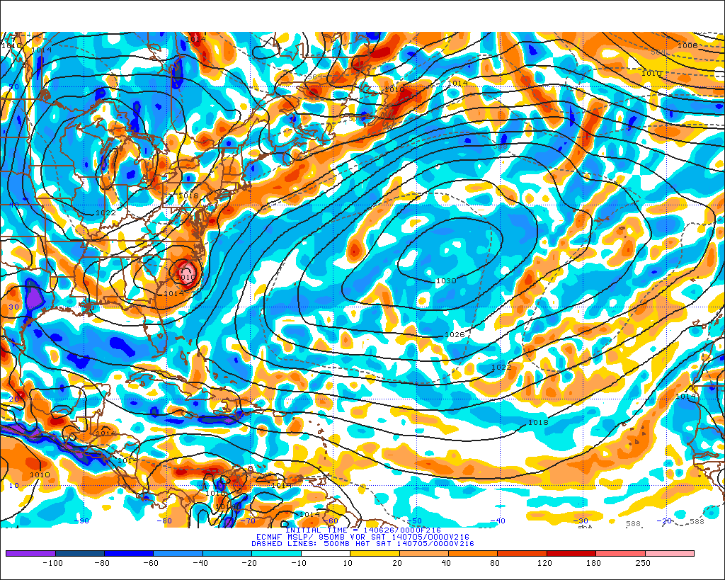
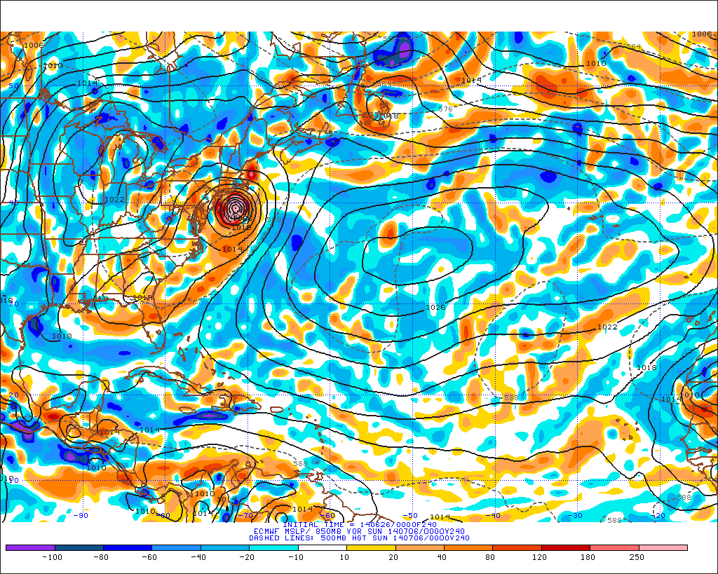
The Euro is the one that has been persistent the most for a vorticity/low pressure forming off of the SE US coast from an MCS to come off the Carolinas later this week, very similar to today's 18z GFS run.
Here's today's 12z run. It shows a weak low forming then retrodrading westward towards FL but not doing much with it.
Here's today's 12z run. It shows a weak low forming then retrodrading westward towards FL but not doing much with it.

0 likes
- northjaxpro
- S2K Supporter

- Posts: 8900
- Joined: Mon Sep 27, 2010 11:21 am
- Location: Jacksonville, FL
This is a very similar set-up, not with the initial genesis, but in terms of motion if this develops according to EURO. Tropical Storm Beryl formed in this general area 2 years ago. It moved southwest and made landfall right over my area, but Beryl evolved from initially a subtropical Low which formed north of the Bahamas and moved north. It then stalled of the coast Wilmington NC, before moving back towardv the southwest and acquiring tropical characteristics
0 likes
NEVER, EVER SAY NEVER in the tropics and weather in general, and most importantly, with life itself!!
________________________________________________________________________________________
Fay 2008 Beryl 2012 Debby 2012 Colin 2016 Hermine 2016 Julia 2016 Matthew 2016 Irma 2017 Dorian 2019
________________________________________________________________________________________
Fay 2008 Beryl 2012 Debby 2012 Colin 2016 Hermine 2016 Julia 2016 Matthew 2016 Irma 2017 Dorian 2019
- gatorcane
- S2K Supporter

- Posts: 23708
- Age: 48
- Joined: Sun Mar 13, 2005 3:54 pm
- Location: Boca Raton, FL
Re:
Nimbus wrote:There is even some rotation in the clouds.
That area has had high vorticity recently.
I assume you are talking about some slight rotation over South / North Carolina area?
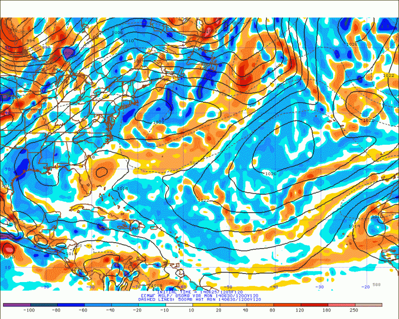
Interesting thing here is that the low hasn't even formed yet, and looking at SAT imagery this evening, I don't know what the models are seeing that will cause this low to form.
But the globals have been insistent on heights dropping off the SE U.S. coast for many days now.
Assuming this low forms, good example of how models can "see" things well in advance before an actual system even exists.
Saved image:

0 likes
- beoumont
- Category 1

- Posts: 473
- Joined: Sun Jul 10, 2011 4:13 pm
- Location: East Central Florida
- Contact:
Re: Off SE U.S coast?
cycloneye wrote:Will we get in some form Arthur from this? Surely things are more favorable there than in the MDR/Caribbean/GOM.
TROPICAL WEATHER OUTLOOK
NWS NATIONAL HURRICANE CENTER MIAMI FL
800 PM EDT WED JUN 25 2014
For the North Atlantic...Caribbean Sea and the Gulf of Mexico:
A low pressure area could form off of the southeastern coast of
the United States by early next week. Some development of this
system is possible if it remains over water while it drifts
southward or southwestward.
$$
Forecaster Stewart
Got to say this is the first time (In 50+ years) that I have seen a TWO that says what this one does. I guess, with the new 5 day format, a few more unique TWOs will be born as well. Neato!
0 likes
List of 79 tropical cyclones intercepted by Richard Horodner:
http://www.canebeard.com/page/page/572246.htm
http://www.canebeard.com/page/page/572246.htm
- Steve820
- Tropical Storm

- Posts: 188
- Age: 26
- Joined: Sat May 17, 2014 8:04 pm
- Location: Southern California
- Contact:
I hope we'll see an Arthur out of this, otherwise it'd be the first June since 2004 without a tropical cyclone in the Atlantic.
0 likes
Hurricanes are an amazing natural phenomena. While many are spiraling pits of evil that kill people or cause devastation, some are tame and stay clear of land.
I wish for you to
I wish for you to

-
TheStormExpert
Re: Off SE U.S coast?
beoumont wrote:cycloneye wrote:Will we get in some form Arthur from this? Surely things are more favorable there than in the MDR/Caribbean/GOM.
TROPICAL WEATHER OUTLOOK
NWS NATIONAL HURRICANE CENTER MIAMI FL
800 PM EDT WED JUN 25 2014
For the North Atlantic...Caribbean Sea and the Gulf of Mexico:
A low pressure area could form off of the southeastern coast of
the United States by early next week. Some development of this
system is possible if it remains over water while it drifts
southward or southwestward.
$$
Forecaster Stewart
Got to say this is the first time (In 50+ years) that I have seen a TWO that says what this one does. I guess, with the new 5 day format, a few more unique TWOs will be born as well. Neato!
Weren't the NHC supposed to start issuing 5-day TWO graphics at the beginning of the season, or is it scheduled to start later in the season?
0 likes
-
JonathanBelles
- Professional-Met

- Posts: 11430
- Age: 35
- Joined: Sat Dec 24, 2005 9:00 pm
- Location: School: Florida State University (Tallahassee, FL) Home: St. Petersburg, Florida
- Contact:
Re: Off SE U.S coast?
TheStormExpert wrote:Weren't the NHC supposed to start issuing 5-day TWO graphics at the beginning season, or is it scheduled to start later in the season?
I believe this starts at the top of next month (July 1st).
0 likes
- Steve820
- Tropical Storm

- Posts: 188
- Age: 26
- Joined: Sat May 17, 2014 8:04 pm
- Location: Southern California
- Contact:
Re: Re:
TheStormExpert wrote:Steve820 wrote:I hope we'll see an Arthur out of this, otherwise it'd be the first June since 2004 without a tropical cyclone in the Atlantic.
Not true, June 2009 was the last occurrence.
Well, 2009 had a depression, but if this June doesn't have a named storm it will be the first time since 2004 that happened.
0 likes
Hurricanes are an amazing natural phenomena. While many are spiraling pits of evil that kill people or cause devastation, some are tame and stay clear of land.
I wish for you to
I wish for you to

- cycloneye
- Admin

- Posts: 149503
- Age: 69
- Joined: Thu Oct 10, 2002 10:54 am
- Location: San Juan, Puerto Rico
Re: Off SE U.S coast?
2 AM TWO:
TROPICAL WEATHER OUTLOOK
NWS NATIONAL HURRICANE CENTER MIAMI FL
200 AM EDT THU JUN 26 2014
For the North Atlantic...Caribbean Sea and the Gulf of Mexico:
An area of low pressure could form off of the southeastern coast of
the United States by late this weekend or early next week. Some
development of this system is possible if it remains over water
while it drifts southward or southwestward.
* Formation chance through 48 hours...low...near 0 percent.
* Formation chance through 5 days...low...20 percent.
$$
Forecaster Brennan
0 likes
Visit the Caribbean-Central America Weather Thread where you can find at first post web cams,radars
and observations from Caribbean basin members Click Here
and observations from Caribbean basin members Click Here
Re: Re:
Steve820 wrote:TheStormExpert wrote:Steve820 wrote:I hope we'll see an Arthur out of this, otherwise it'd be the first June since 2004 without a tropical cyclone in the Atlantic.
Not true, June 2009 was the last occurrence.
Well, 2009 had a depression, but if this June doesn't have a named storm it will be the first time since 2004 that happened.
The first Depression in 2009 occurred during late May, June and July were very quiet that year.
0 likes
- cycloneye
- Admin

- Posts: 149503
- Age: 69
- Joined: Thu Oct 10, 2002 10:54 am
- Location: San Juan, Puerto Rico
Re: Off SE U.S coast?
TROPICAL WEATHER OUTLOOK
NWS NATIONAL HURRICANE CENTER MIAMI FL
800 AM EDT THU JUN 26 2014
For the North Atlantic...Caribbean Sea and the Gulf of Mexico:
An area of low pressure could form off of the southeastern coast of
the United States by late this weekend or early next week. Some
development of this system is possible if it remains over water
while it drifts southward or southwestward.
* Formation chance through 48 hours...low...near 0 percent.
* Formation chance through 5 days...low...20 percent.
$$
Forecaster Pasch
0 likes
Visit the Caribbean-Central America Weather Thread where you can find at first post web cams,radars
and observations from Caribbean basin members Click Here
and observations from Caribbean basin members Click Here
- northjaxpro
- S2K Supporter

- Posts: 8900
- Joined: Mon Sep 27, 2010 11:21 am
- Location: Jacksonville, FL
As NDG pointed out above, the EURO remains quite aggresive with development of this potential tropical entity. At least for now, with shear being very persistent across the MDR and the Caribbean, the area off the SE U.S. coast is about the only area in the basin conducive for tropical cyclone development.
This just may be the year of the homegrown storms in 2014.
This just may be the year of the homegrown storms in 2014.
0 likes
NEVER, EVER SAY NEVER in the tropics and weather in general, and most importantly, with life itself!!
________________________________________________________________________________________
Fay 2008 Beryl 2012 Debby 2012 Colin 2016 Hermine 2016 Julia 2016 Matthew 2016 Irma 2017 Dorian 2019
________________________________________________________________________________________
Fay 2008 Beryl 2012 Debby 2012 Colin 2016 Hermine 2016 Julia 2016 Matthew 2016 Irma 2017 Dorian 2019
Re: Re:
Steve820 wrote:TheStormExpert wrote:Steve820 wrote:I hope we'll see an Arthur out of this, otherwise it'd be the first June since 2004 without a tropical cyclone in the Atlantic.
Not true, June 2009 was the last occurrence.
Well, 2009 had a depression, but if this June doesn't have a named storm it will be the first time since 2004 that happened.
the 2009 TD was in May
0 likes
- WPBWeather
- S2K Supporter

- Posts: 535
- Age: 67
- Joined: Thu Jul 18, 2013 12:33 pm
Re:
northjaxpro wrote:As NDG pointed out above, the EURO remains quite aggresive with development of this potential tropical entity. At least for now, with shear being very persistent across the MDR and the Caribbean, the area off the SE U.S. coast is about the only area in the basin conducive for tropical cyclone development.
This just may be the year of the homegrown storms in 2014.
But isn't that just a picture of the sheer, and not a movie? Sheer can change from day to day--so persistence is not forever.
0 likes
Who is online
Users browsing this forum: No registered users and 255 guests


