WPAC: RAMMASUN - Post-Tropical
Moderator: S2k Moderators
-
djones65
- Category 1

- Posts: 264
- Age: 60
- Joined: Mon Jun 20, 2005 12:05 am
- Location: Ocean Springs, MS
I sincerely respect your thoughts and opinions Alyono! However, the cyclone has hit less than a week and ALL data has obviously not yet been compiled. We all understand how difficult it is to obtain reliable data when there are questions about quality control of the data received. Yes, I saw the observations of 962 mb you are referring. But how do we know for sure it is accurate nor were there any other observations not yet obtained and or verified. James was at the landfall and stated it was one of the strongest winds he had experienced and he is an "experienced observer." the data has not yet come in. So I personally believe until we can validate the "very few and sparse surface observations" that Dvorak is the BEST estimate at the moment. It is premature in my humble opinion to DEFINITIVELY state Rammasun was not category 3 when it struck southern Luzon! You may end up correct. However I personally believe that we will uncover more evidence as all data is corroborated to support a CAT 3. But it is definitely premature to state it was not when such an impressive satellite signature is obvious and the region of maximum winds may have not been officially measured or observed or received yet. Just my two cents...
0 likes
-
djones65
- Category 1
- Posts: 264
- Age: 60
- Joined: Mon Jun 20, 2005 12:05 am
- Location: Ocean Springs, MS
Alyono? Do you have any more data than the one observation from Legazpi City? I have not seen data from Sorgason. Do you have more reports? I have seen just one seemingly reliable pressure reding although the lowest pressure appears to have been between observation times. I am just curious. But just one report should not invalidate all other intensity ESTIMATES in my humble opinion
0 likes
I've heard a lowest pressure of 959mb. However, the highest gusts I have seen to date from the eyewall was 100 kts. Unconfirmed though
I wonder if instead of translating into a high peak wind, if Rammasun had a more symmetric windfield about the center, similar to when Dolly hit South Texas. It looked as if it was nearly a cat 3 on Dvorak and pressure readings, yet made landfall as a mid grade cat 1. Nearly the entire eyewall had hurricane force winds, however
I wonder if instead of translating into a high peak wind, if Rammasun had a more symmetric windfield about the center, similar to when Dolly hit South Texas. It looked as if it was nearly a cat 3 on Dvorak and pressure readings, yet made landfall as a mid grade cat 1. Nearly the entire eyewall had hurricane force winds, however
0 likes
-
euro6208
Re: WPAC: RAMMASUN - Post-Tropical
It's very sad to see a storm that had a long life forming southeast of Guam, landfall over Guam and eventually making his way to the Philippines as a powerful Cat 3 and Southern China/Vietnam as a Category 4/5. I don't like to see deaths and damage though just talking about how awesome this storm was 
0 likes
-
xtyphooncyclonex

- Category 5

- Posts: 3891
- Age: 24
- Joined: Sat Dec 08, 2012 9:07 am
- Location: Cebu City
- Contact:
Re: WPAC: RAMMASUN - Post-Tropical
euro6208 wrote:It's very sad to see a storm that had a long life forming southeast of Guam, landfall over Guam and eventually making his way to the Philippines as a powerful Cat 3 and Southern China/Vietnam as a Category 4/5. I don't like to see deaths and damage though just talking about how awesome this storm was
And sadder in fact that the JTWC revised their landfall intensity, operationally at 110 knots, now at 115 kts-weak category 4.
0 likes
REMINDER: My opinions that I, or any other NON Pro-Met in this forum, are unofficial. Please do not take my opinions as an official forecast and warning. I am NOT a meteorologist. Following my forecasts blindly may lead to false alarm, danger and risk if official forecasts from agencies are ignored.
-
somethingfunny

- ChatStaff

- Posts: 3926
- Age: 37
- Joined: Thu May 31, 2007 10:30 pm
- Location: McKinney, Texas
Re:
yulou wrote:

Chalking it up to Chinese construction standards or not, I've never seen wind do something like this.
Debating about the actual windspeeds in Rammasun seems A) premature as we don't have much data available, & B) like a topic for some other thread.
0 likes
I am not a meteorologist, and any posts made by me are not official forecasts or to be interpreted as being intelligent. These posts are just my opinions and are probably silly opinions.
http://news.xinhuanet.com/english/china ... 500103.htm
death toll rising from inland flooding and mudslides
death toll rising from inland flooding and mudslides
0 likes
http://hurricanes.einnews.com/article__ ... PUuA%3D%3D
16 dead in Vietnam, also due to inland flooding
Just serves as a reminder of the dangers of inland flooding. It's not just the wind and tidal surge
some of the wiki editors here probably should update the article as it has zero Vietnam deaths
16 dead in Vietnam, also due to inland flooding
Just serves as a reminder of the dangers of inland flooding. It's not just the wind and tidal surge
some of the wiki editors here probably should update the article as it has zero Vietnam deaths
0 likes
-
CrazyC83
- Professional-Met

- Posts: 34315
- Joined: Tue Mar 07, 2006 11:57 pm
- Location: Deep South, for the first time!
That is still lower than Dvorak (T6.0-6.5) at the time. I estimate it at 105 kt (pressure 954) at the time of the 962 recording (about 7 miles from the center). It is a slight decrease from previous landfall due to slight deterioration in structure (but not much) after its initial peak around 0800Z. The 892 - which is likely miscalibrated (I used 910 with low confidence) - is the basis for the intensity just before Hainan.
At closest approach to Manila, I estimate the intensity to be about 65-70 kt.
At closest approach to Manila, I estimate the intensity to be about 65-70 kt.
0 likes
-
phwxenthusiast
- Category 2

- Posts: 637
- Joined: Wed Mar 24, 2010 3:10 am
- Location: Holbrook, NY (Long Island)
the lowest pressure reading i found in the Bicol Region was in Libon, Albay the eye tracked right over this town (15mi northwest of the landfall point). it recorded a min pressure of 960hPa. surrounding weather stations all recorded in the 965-975hPa range. Wind gust from Tabaco, Albay was 185kph (100kt)--and Tabaco is at the right half of the eye (motion-relative). and again, Legazpi with the 962hPa as the eye moved on top.
these station data are from Project NOAH and were giving updates every 15 minutes--even if they did miss the lowest readings, i don't think it would be far from what they actually recorded.
also, i believe these instruments were donated by Japan so I don't doubt their quality. sure, some of them may not have been calibrated properly. however, since all the stations that the eye tracked over reported nearly similar readings (from the environmental MSLP all the way to the minimum pressure), I'm more likely inclined to think that the 960hPa-range readings are reflective of what the actual pressure was.
my guess for landfall is 958hPa and a 95kt 1-min sustained max wind.
0 likes
http://www.bangkokpost.com/lite/news/42 ... in-vietnam
27 now dead in Vietnam. Seems the flooding was a bit worse than expected in that country
not sure how to update the wiki page, but seems vietnam is being ignored there
27 now dead in Vietnam. Seems the flooding was a bit worse than expected in that country
not sure how to update the wiki page, but seems vietnam is being ignored there
0 likes
-
xtyphooncyclonex
- Category 5
- Posts: 3891
- Age: 24
- Joined: Sat Dec 08, 2012 9:07 am
- Location: Cebu City
- Contact:
According to an NDRRMC report, Rammasun resulted in PHP7.458 billion in damages and claiming 97 lives in the Philippines alone. It is one of the costliest (Rank #11) typhoons as of now to ever strike the country.
0 likes
REMINDER: My opinions that I, or any other NON Pro-Met in this forum, are unofficial. Please do not take my opinions as an official forecast and warning. I am NOT a meteorologist. Following my forecasts blindly may lead to false alarm, danger and risk if official forecasts from agencies are ignored.
-
euro6208
Re: WPAC: RAMMASUN - Post-Tropical
reading all of these heartbreaking news...
god bless this disaster stricken areas!
god bless this disaster stricken areas!
0 likes
-
CrazyC83
- Professional-Met
- Posts: 34315
- Joined: Tue Mar 07, 2006 11:57 pm
- Location: Deep South, for the first time!
What that surface data - assuming a pressure in the 950s - also proves is that:
1) Dvorak isn't always right. If 958 was treated as a central pressure (I went with 954 without knowing those), the landfall intensity would likely come down more at that time (100 kt most likely, although an argument for 95 kt could also be made). That doesn't even come close to a T6.0 intensity (and some sources had it at T6.5 at that point).
2) The P/W relationship differences that are often used in the Atlantic vs. WPAC are quite false. There really isn't much difference, especially in the deep tropics.
0 likes
Re:
CrazyC83 wrote:What that surface data - assuming a pressure in the 950s - also proves is that:
1) Dvorak isn't always right. If 958 was treated as a central pressure (I went with 954 without knowing those), the landfall intensity would likely come down more at that time (100 kt most likely, although an argument for 95 kt could also be made). That doesn't even come close to a T6.0 intensity (and some sources had it at T6.5 at that point).
2) The P/W relationship differences that are often used in the Atlantic vs. WPAC are quite false. There really isn't much difference, especially in the deep tropics.
I contend there is no difference, and the recon in 2008 and 2010 showed that
The P/W relationship was initially generated by using ESTIMATES of the wind at FLIGHT LEVEL. If we used those methods today, it would be dismissed as junk science. However, synoptic environments can lead to differences. A TC in a monsoon trough would have a significantly lower pressure than one under a strong ridge. This also happens in the Atlantic where we have 1000mb TDs in the Caribbean in October
0 likes
-
dexterlabio
- Category 5
- Posts: 3508
- Joined: Sat Oct 24, 2009 11:50 pm
Re:
yulou wrote:More pics from Haikou.


I'm sorry but I find these pictures suspicious.
0 likes
Personal Forecast Disclaimer:
The posts in this forum are NOT official forecast and should not be used as such. They are just the opinion of the poster and may or may not be backed by sound meteorological data. They are NOT endorsed by any professional institution or storm2k.org. For official information, please refer to the NHC and NWS products.
The posts in this forum are NOT official forecast and should not be used as such. They are just the opinion of the poster and may or may not be backed by sound meteorological data. They are NOT endorsed by any professional institution or storm2k.org. For official information, please refer to the NHC and NWS products.
-
1900hurricane

- Category 5
- Posts: 6063
- Age: 34
- Joined: Fri Feb 06, 2015 12:04 pm
- Location: Houston, TX
- Contact:
Rammasun has been upgraded to a 140 kt category 5 in JTWC's posteason analysis.
http://www.usno.navy.mil/NOOC/nmfc-ph/RSS/jtwc/best_tracks/2014/2014s-bwp/bwp092014.dat
http://www.usno.navy.mil/NOOC/nmfc-ph/RSS/jtwc/best_tracks/2014/2014s-bwp/bwp092014.dat
0 likes
Contract Meteorologist. TAMU & MSST. Fiercely authentic, one of a kind. We are all given free will, so choose a life meant to be lived. We are the Masters of our own Stories.
Opinions expressed are mine alone.
Follow me on Twitter at @1900hurricane : Read blogs at https://1900hurricane.wordpress.com/
Opinions expressed are mine alone.
Follow me on Twitter at @1900hurricane : Read blogs at https://1900hurricane.wordpress.com/
-
mrbagyo

- Category 5
- Posts: 3963
- Age: 33
- Joined: Thu Apr 12, 2012 9:18 am
- Location: 14.13N 120.98E
- Contact:
Re: WPAC: RAMMASUN - Post-Tropical
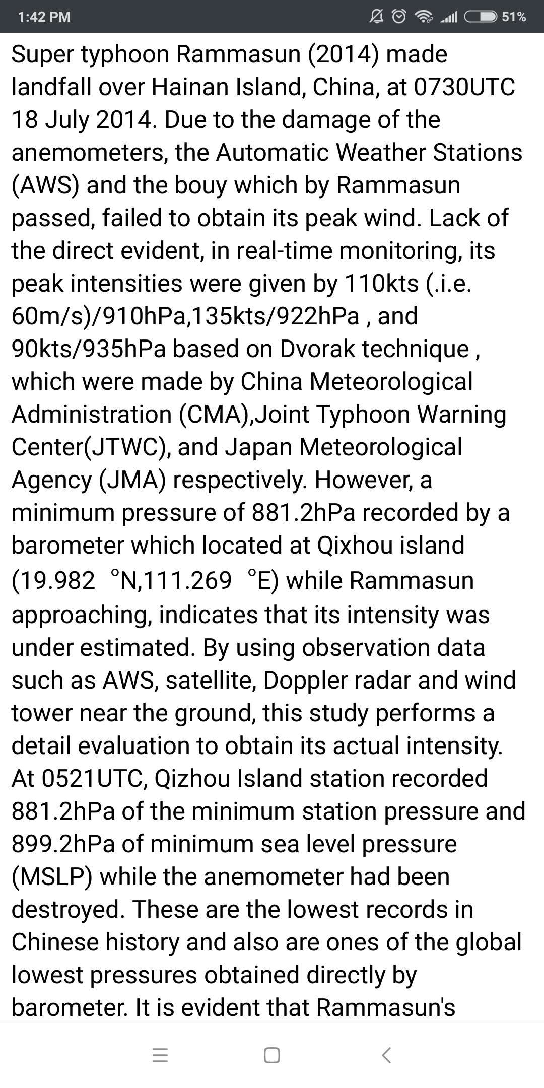
899.2 mb!
0 likes
The posts in this forum are NOT official forecast and should not be used as such. They are just the opinion of the poster and may or may not be backed by sound meteorological data. They are NOT endorsed by any professional institution or storm2k.org. For official information, please refer to RSMC, NHC and NWS products.
-
doomhaMwx

- Category 5
- Posts: 2487
- Age: 27
- Joined: Tue Apr 18, 2017 4:01 am
- Location: Baguio/Benguet, Philippines
- Contact:
Re: WPAC: RAMMASUN - Post-Tropical
Well, here is the CMA's best track for Rammasun...
They gave a central pressure of 888mb and 2-min sustained winds of 72m/s (260kph) on July 18 06Z.
Legend:

They gave a central pressure of 888mb and 2-min sustained winds of 72m/s (260kph) on July 18 06Z.
66666 0000 40 0010 1409 0 6 Rammasun 20150324
2014071000 1 88 1523 1008 13
2014071006 1 97 1516 1008 13
2014071012 1 108 1505 1008 13
2014071018 1 115 1495 1006 15
2014071100 1 119 1483 1006 15
2014071106 1 125 1473 1006 15
2014071112 1 131 1463 1006 15
2014071118 1 133 1455 1006 15
2014071200 1 135 1446 1006 15
2014071206 2 135 1432 1002 18
2014071212 2 134 1415 998 20
2014071218 2 134 1401 998 20
2014071300 2 135 1384 998 20
2014071306 2 137 1365 998 20
2014071312 2 135 1344 992 23
2014071318 2 135 1325 992 23
2014071400 3 133 1306 990 25
2014071406 3 130 1293 980 30
2014071412 4 127 1282 970 35
2014071418 4 127 1269 960 40
2014071500 4 128 1257 960 40
2014071506 5 130 1247 945 48
2014071512 6 133 1234 930 55
2014071518 5 140 1219 940 50
2014071600 4 143 1204 960 40
2014071606 4 151 1191 975 33
2014071612 4 155 1178 970 35
2014071618 4 160 1167 965 38
2014071700 4 164 1158 960 40
2014071706 5 168 1150 950 45
2014071712 5 175 1143 930 50
2014071718 6 185 1134 920 58
2014071800 6 191 1123 900 65
2014071806 6 199 1113 888 72
2014071812 6 203 1103 910 60
2014071818 6 210 1094 935 52
2014071900 5 217 1083 945 48
2014071906 4 221 1073 970 33
2014071912 2 229 1062 990 23
2014071918 2 230 1051 996 18
Legend:
0 likes
Who is online
Users browsing this forum: No registered users and 12 guests