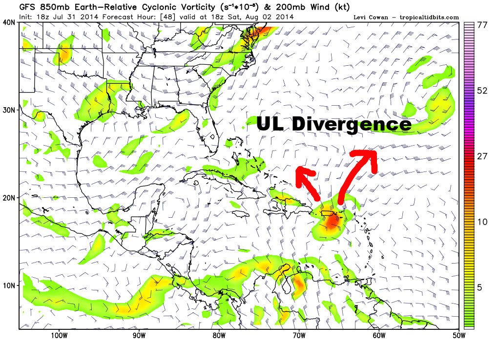
ATL: BERTHA - Post-Tropical - Discussion

Moderator: S2k Moderators

Message
Author
TheStormExpert

Re: Re:

#681 Postby TheStormExpert » Thu Jul 31, 2014 8:36 pm

RL3AO wrote:
Alyono wrote:somehow, SHIPS is saying low to moderate shear through 120 hours


I don't get how it came to that conclusion. The LL easterlies are 30+kt in the Caribbean.

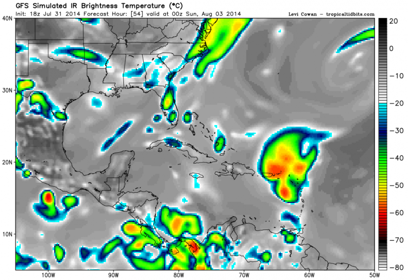
Like we said on here several days ago, the only chance this could survive would be if it went north of the islands, which is obviously is not going to happen anymore.
0 likes   

User avatar
Hurricaneman
Category 5
Category 5
Posts: 7350
Age: 44
Joined: Tue Aug 31, 2004 3:24 pm
Location: central florida

Re:

#682 Postby Hurricaneman » Thu Jul 31, 2014 8:36 pm

Alyono wrote:somehow, SHIPS is saying low to moderate shear through 120 hours

The SHIPS model always seems to be lenient on the shear as a lot of the time the shear is higher than predicted by it and 93L seems to not be any different as 20 to 30kts of shear is pretty disruptive but with a strong LLCC it may just survive the shear but coupled with the dry SAL air it may temporarily down but IMO most certainly not out

The posts in this forum are NOT official forecast and should not be used as such. They are just the opinion of the poster and may or may not be backed by sound meteorological data. They are NOT endorsed by any professional institution or storm2k.org. For official information, please refer to the NHC and NWS products
0 likes   

ozonepete
Professional-Met
Professional-Met
Posts: 4743
Joined: Mon Sep 07, 2009 3:23 pm
Location: From Ozone Park, NYC / Now in Brooklyn, NY

Re: ATL: INVEST 93L - Discussion

#683 Postby ozonepete » Thu Jul 31, 2014 8:37 pm

Hammy wrote:While I still have very strong doubts that this will be upgraded given that it looked much better yesterday evening and wasn't, I will point out that if you watch the high clouds near the islands, they appear to be slowing down and moving more northward rather than eastward recently.


Nice observation. There are still things we can look at (and thus catch) before any of the models can. I often look at clues like that just to get an angle of what's going on in the immediate. It's one of the few ways we have left where we can "see" things before the models do, since even the models that use cloud relative winds can't ingest that data as fast as we can.
0 likes   

User avatar
NDG
S2K Supporter
S2K Supporter
Posts: 15446
Joined: Sun Jul 09, 2006 10:14 pm
Location: Orlando, FL

Re: ATL: INVEST 93L - Discussion

#684 Postby NDG » Thu Jul 31, 2014 8:39 pm

Some of you might be looking at the shear ahead in the 20-30 knot range as something negative for 93L but I am looking at it as something positive for 93L, because of UL divergence, to finally fire up some storms and shake off that dry air that has been plaguing it. That's exactly what some models are showing. Some weak TS is not going to hurt the islands as long as it brings some very needed beneficial rains which is most important.

Image
Image
0 likes   

RL3AO
Moderator-Pro Met
Moderator-Pro Met
Posts: 16308
Joined: Thu Jun 14, 2007 10:03 pm
Location: NC

#685 Postby RL3AO » Thu Jul 31, 2014 8:42 pm

I think things could get interesting if it can get into the Bahamas. Until then, I think we may be seeing the peak of 93L in terms of organization for the next few days.


Personal Forecast Disclaimer:
The posts in this forum are NOT official forecast and should not be used as such. They are just the opinion of the poster and may or may not be backed by sound meteorological data. They are NOT endorsed by any professional institution or storm2k.org. For official information, please refer to the NHC and NWS products.
0 likes   

hurricanekid416
Tropical Storm
Tropical Storm
Posts: 179
Joined: Wed Oct 24, 2012 2:43 pm

Re:

#686 Postby hurricanekid416 » Thu Jul 31, 2014 8:44 pm

RL3AO wrote:I think things could get interesting if it can get into the Bahamas. Until then, I think we may be seeing the peak of 93L in terms of organization.


Personal Forecast Disclaimer:
The posts in this forum are NOT official forecast and should not be used as such. They are just the opinion of the poster and may or may not be backed by sound meteorological data. They are NOT endorsed by any professional institution or storm2k.org. For official information, please refer to the NHC and NWS products.

It has been well organized for a while
0 likes   
Personal Forecast Disclaimer:
The posts in this forum are NOT official forecast and should not be used as such. They are just the opinion of the poster and may or may not be backed by sound meteorological data. They are NOT endorsed by any professional institution or storm2k.org. For official information, please refer to the NHC and NWS products.

User avatar
blp
Category 5
Category 5
Posts: 2840
Age: 46
Joined: Thu Sep 09, 2004 7:51 pm
Location: Miami, FL
Contact:

Re: ATL: INVEST 93L - Discussion

#687 Postby blp » Thu Jul 31, 2014 8:45 pm

So I step out to do some house work with a sysyem devoid of conection and now I see possible Tropical Storm. Don't you love the weather. Last night we had a similar convective burst but more on the southern half then to get smashed as the shear and dry air picked up again during the day. It looks like more convection on the Northeast side a sign the dry air maybe loosening its grip as some have mentioned. I still see this coming in more west into the islands than progged which means more westward shifts down the line tonight and tomorrow.
0 likes   
The following post is NOT an official forecast and should not be used as such. It is just the opinion of the poster and may or may not be backed by sound meteorological data. It is NOT endorsed by any professional institution including storm2k.org For Official Information please refer to the NHC and NWS products.

hurricanekid416
Tropical Storm
Tropical Storm
Posts: 179
Joined: Wed Oct 24, 2012 2:43 pm

Re: ATL: INVEST 93L - Discussion

#688 Postby hurricanekid416 » Thu Jul 31, 2014 8:49 pm

blp wrote:So I step out to do some house work with a sysyem devoid of conection and now I see possible Tropical Storm. Don't you love the weather. Last night we had a similar convective burst but more on the southern half then to get smashed as the shear and dry air picked up again during the day. It looks like more convection on the Northeast side a sign the dry air maybe loosening its grip as some have mentioned. I still see this coming in more west into the islands than progged which means more westward shifts down the line tonight and tomorrow.

It seems that way on the water vapor loop a little
0 likes   
Personal Forecast Disclaimer:
The posts in this forum are NOT official forecast and should not be used as such. They are just the opinion of the poster and may or may not be backed by sound meteorological data. They are NOT endorsed by any professional institution or storm2k.org. For official information, please refer to the NHC and NWS products.

Rail Dawg
S2K Supporter
S2K Supporter
Posts: 326
Joined: Mon Aug 27, 2012 5:02 pm
Location: Where the eye makes landfall.

#689 Postby Rail Dawg » Thu Jul 31, 2014 8:49 pm

Back in the day we didn't have all the modeling. We had direct observations from the surface, aircraft and satellite. The satellites were good but nothing like what we have today.

While I really enjoy using the new tools there is still that forecasting you do from gut feeling and the visible observation of the system.

This one could fire up and surprise all of us. Like I always say I've made every mistake in the book and then some!
0 likes   
Although I have been a hurricane forecaster since 1980 that only means I've been wrong lots of times.

User avatar
Hurricaneman
Category 5
Category 5
Posts: 7350
Age: 44
Joined: Tue Aug 31, 2004 3:24 pm
Location: central florida

#690 Postby Hurricaneman » Thu Jul 31, 2014 8:51 pm

The SEUS needs to keep an eye on this one but the windward islands may get a tropical storm out of this and all in all some possible drought relief for Puerto Rico

The posts in this forum are NOT official forecast and should not be used as such. They are just the opinion of the poster and may or may not be backed by sound meteorological data. They are NOT endorsed by any professional institution or storm2k.org. For official information, please refer to the NHC and NWS products
0 likes   

User avatar
cycloneye
Admin
Admin
Posts: 143925
Age: 68
Joined: Thu Oct 10, 2002 10:54 am
Location: San Juan, Puerto Rico

Re:

#691 Postby cycloneye » Thu Jul 31, 2014 8:54 pm

Hurricaneman wrote:The SEUS needs to keep an eye on this one but the windward islands may get a tropical storm out of this and all in all some possible drought relief for Puerto Rico

The posts in this forum are NOT official forecast and should not be used as such. They are just the opinion of the poster and may or may not be backed by sound meteorological data. They are NOT endorsed by any professional institution or storm2k.org. For official information, please refer to the NHC and NWS products


Yes. Rationing of water starts on August 6 so I am putting the hat of wishcaster and say bring it on.
0 likes   
Visit the Caribbean-Central America Weather Thread where you can find at first post web cams,radars
and observations from Caribbean basin members Click Here

ozonepete
Professional-Met
Professional-Met
Posts: 4743
Joined: Mon Sep 07, 2009 3:23 pm
Location: From Ozone Park, NYC / Now in Brooklyn, NY

Re: Re:

#692 Postby ozonepete » Thu Jul 31, 2014 9:03 pm

cycloneye wrote:
Hurricaneman wrote:The SEUS needs to keep an eye on this one but the windward islands may get a tropical storm out of this and all in all some possible drought relief for Puerto Rico

The posts in this forum are NOT official forecast and should not be used as such. They are just the opinion of the poster and may or may not be backed by sound meteorological data. They are NOT endorsed by any professional institution or storm2k.org. For official information, please refer to the NHC and NWS products


Yes. Rationing of water starts on August 6 so I am putting the hat of wonderful forecaster and say bring it on.


Ok, Luis, we'll pray for some heavy downpours with gentle winds for you. Looks like a decent chance of that now to me at this point. :)
Last edited by ozonepete on Thu Jul 31, 2014 9:04 pm, edited 1 time in total.
0 likes   

User avatar
blp
Category 5
Category 5
Posts: 2840
Age: 46
Joined: Thu Sep 09, 2004 7:51 pm
Location: Miami, FL
Contact:

Re: ATL: INVEST 93L - Discussion

#693 Postby blp » Thu Jul 31, 2014 9:03 pm

You clearly see the llc on this loop. Looks WNW overall.

Image
0 likes   
The following post is NOT an official forecast and should not be used as such. It is just the opinion of the poster and may or may not be backed by sound meteorological data. It is NOT endorsed by any professional institution including storm2k.org For Official Information please refer to the NHC and NWS products.

User avatar
Blown Away
S2K Supporter
S2K Supporter
Posts: 10140
Joined: Wed May 26, 2004 6:17 am

Re: ATL: INVEST 93L - Discussion

#694 Postby Blown Away » Thu Jul 31, 2014 9:06 pm

IMO the NHC is looking for any slight persistent convection to upgrade 93L, I think we will see an upgrade within the next few hours... Question is will the 5 day point be a remnant low, TS, or hurricane symbol??
0 likes   
Hurricane Eye Experience: David 79, Irene 99, Frances 04, Jeanne 04, Wilma 05... EYE COMING MY WAY IN 2024…
Hurricane Brush Experience: Andrew 92, Erin 95, Floyd 99, Matthew 16, Irma 17, Ian 22, Nicole 22…

User avatar
Hurricaneman
Category 5
Category 5
Posts: 7350
Age: 44
Joined: Tue Aug 31, 2004 3:24 pm
Location: central florida

Re: ATL: INVEST 93L - Discussion

#695 Postby Hurricaneman » Thu Jul 31, 2014 9:09 pm

Blown Away wrote:IMO the NHC is looking for any slight persistent convection to upgrade 93L, I think we will see an upgrade within the next few hours... Question is will the 5 day point be a remnant low, TS, or hurricane symbol??


Probably a depression symbol as thats all most models are predicting as of now but things could change as a good sotrm to look at in terms of similar look would be Danny in 2009

The posts in this forum are NOT official forecast and should not be used as such. They are just the opinion of the poster and may or may not be backed by sound meteorological data. They are NOT endorsed by any professional institution or storm2k.org. For official information, please refer to the NHC and NWS products
0 likes   

hurricanekid416
Tropical Storm
Tropical Storm
Posts: 179
Joined: Wed Oct 24, 2012 2:43 pm

Re: ATL: INVEST 93L - Discussion

#696 Postby hurricanekid416 » Thu Jul 31, 2014 9:09 pm

Blown Away wrote:IMO the NHC is looking for any slight persistent convection to upgrade 93L, I think we will see an upgrade within the next few hours... Question is will the 5 day point be a remnant low, TS, or hurricane symbol??

True it's going to be interesting to see the nhc forecast
0 likes   
Personal Forecast Disclaimer:
The posts in this forum are NOT official forecast and should not be used as such. They are just the opinion of the poster and may or may not be backed by sound meteorological data. They are NOT endorsed by any professional institution or storm2k.org. For official information, please refer to the NHC and NWS products.

User avatar
Bocadude85
Category 5
Category 5
Posts: 2991
Age: 38
Joined: Mon Apr 18, 2005 2:20 pm
Location: Honolulu,Hi

Re: ATL: INVEST 93L - Discussion

#697 Postby Bocadude85 » Thu Jul 31, 2014 9:14 pm

I'm not so sure the NHC is going to upgrade this as it is looking pitiful. That should seal the deal for the upgrade now that I've put my two cents in :D
0 likes   

User avatar
NDG
S2K Supporter
S2K Supporter
Posts: 15446
Joined: Sun Jul 09, 2006 10:14 pm
Location: Orlando, FL

#698 Postby NDG » Thu Jul 31, 2014 9:14 pm

Sounding from Barbados tonight shows that the LL jet is not as strong as when TD 2 was in the area with 25-30 knot LL jet back then compared to only around 20 knots currently, earlier today they were only at around 15 knots. Notice that UL winds are currently not that strong.

Image
0 likes   

User avatar
Hammy
Category 5
Category 5
Posts: 5849
Age: 41
Joined: Fri May 25, 2012 5:25 pm
Contact:

Re: ATL: INVEST 93L - Discussion

#699 Postby Hammy » Thu Jul 31, 2014 9:14 pm

I'm going to go down with my no-development ship if necessary and say this won't be upgraded until we have actual word from the hurricane center, as it still looks pretty pathetic on satellite and if several better looking storms weren't upgraded, I doubt this will be.
0 likes   
The above post is not official and should not be used as such. It is the opinion of the poster and may or may not be backed by sound meteorological data. It is not endorsed by any professional institution or storm2k.org. For official information, please refer to the NHC and NWS products.

User avatar
SouthDadeFish
Professional-Met
Professional-Met
Posts: 2835
Joined: Thu Sep 23, 2010 2:54 pm
Location: Miami, FL
Contact:

Re: ATL: INVEST 93L - Discussion

#700 Postby SouthDadeFish » Thu Jul 31, 2014 9:15 pm

NDG wrote:Some of you might be looking at the shear ahead in the 20-30 knot range as something negative for 93L but I am looking at it as something positive for 93L, because of UL divergence, to finally fire up some storms and shake off that dry air that has been plaguing it. That's exactly what some models are showing. Some weak TS is not going to hurt the islands as long as it brings some very needed beneficial rains which is most important.


Careful, diffluence =/= divergence. You can have diffluent flow, but if the winds are slowing down, you are getting speed convergence. But yes, good observation, as the GFS shows the storm will be located in the right-entrance region of a jet streak in about 48 hours, indicative of large-scale ascent.
0 likes   


Return to “2014”

Who is online

Users browsing this forum: No registered users and 169 guests