It might just be my eyes playing tricks on me but it looks like 96L has hit a brick wall at around 69.5W. It's like it slammed on the brakes.
SFT
ATL: CRISTOBAL - Post-Tropical - Discussion
Moderator: S2k Moderators
-
SouthFLTropics

- Category 5

- Posts: 4258
- Age: 50
- Joined: Thu Aug 14, 2003 8:04 am
- Location: Port St. Lucie, Florida
Re: ATL: INVEST 96L - Discussion
0 likes
Fourth Generation Florida Native
Personal Storm History: David 79, Andrew 92, Erin 95, Floyd 99, Irene 99, Frances 04, Jeanne 04, Wilma 05, Matthew 16, Irma 17, Ian 22, Nicole 22, Milton 24
Personal Storm History: David 79, Andrew 92, Erin 95, Floyd 99, Irene 99, Frances 04, Jeanne 04, Wilma 05, Matthew 16, Irma 17, Ian 22, Nicole 22, Milton 24
-
deltadog03

- Professional-Met

- Posts: 3580
- Joined: Tue Jul 05, 2005 6:16 pm
- Location: Macon, GA
Re: ATL: INVEST 96L - Discussion
[img]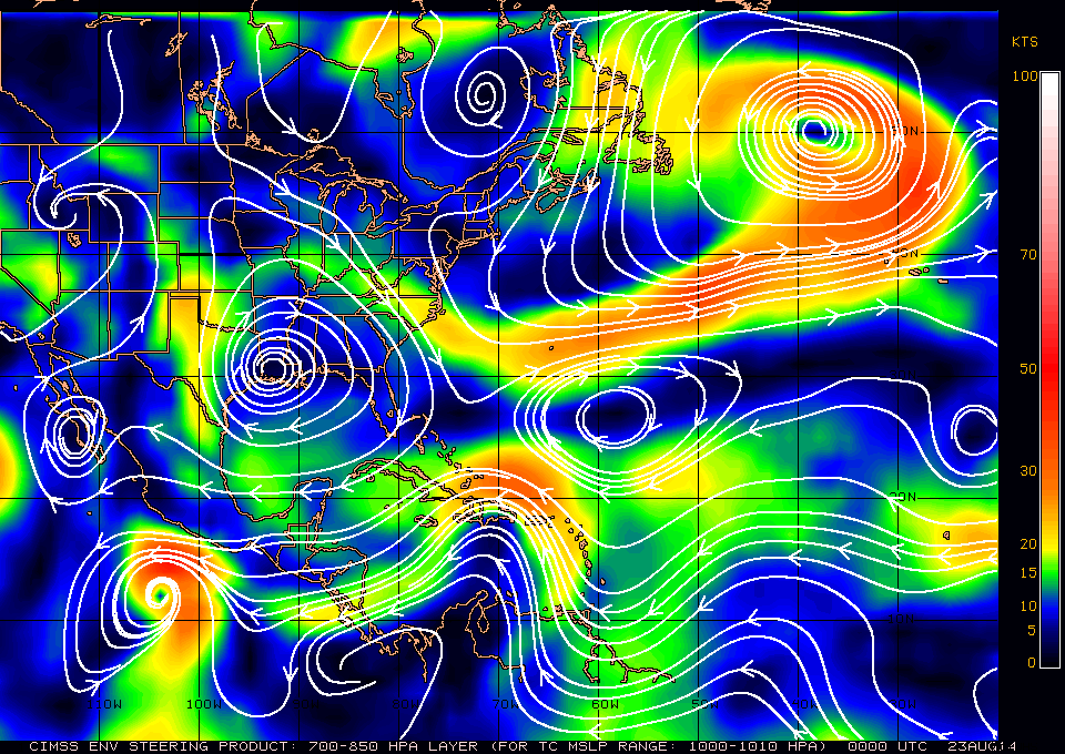 [/img]
Its got time to race WNW before getting "caught"
 [/img]
Its got time to race WNW before getting "caught"
0 likes
-
CYCLONE MIKE
- Category 5
- Posts: 2183
- Joined: Tue Aug 31, 2004 6:04 pm
- Location: Gonzales, LA
Re:
Steve wrote:Thanks floridasun78. Awesome Levi video and as usual.
This high over the Gulf South has made it about as hot as is it's been here in NOLA this summer (maybe one or two days were warmer?). I'm looking way up toward you near Ascension Parish, Canada CycloneMike. It's hot baby. Glad to see Levi has the high migrating East which should eventually bring us some SE winds which have been sorely lacking this summer for fisherman. It's been mostly W, WSW and SW winds (alternating with N and NW behind the fronts). Transient or otherwise, this ain't the same pattern we've been in this summer.
Yes sir, supposed to be hot tomorrow and hotter Sunday. Playing golf Sunday at 12:40 and its supposed to be 99
 Local nws still calling for trough to dig down east coast and weak back door front dropping into our area early next week. See no reason to not believe it as that has been the theme all summer.
 And yes fishing has definitely suffered this summer cause of the pattern. Can't wait for fall and winter, should be good for some trout and reds.
0 likes
-
ozonepete
- Professional-Met
- Posts: 4743
- Joined: Mon Sep 07, 2009 3:23 pm
- Location: From Ozone Park, NYC / Now in Brooklyn, NY
Re: ATL: INVEST 96L - Discussion
SouthFLTropics wrote:It might just be my eyes playing tricks on me but it looks like 96L has hit a brick wall at around 69.5W. It's like it slammed on the brakes.
SFT
No. It's still going west-northwest and maybe turning slightly northwest. I think you're seeing the effects of the center trying to consolidate north of Haiti while some of the convection that got way out in front of it is losing upper level support.
0 likes
Re: ATL: INVEST 96L - Discussion
SouthFLTropics wrote:It might just be my eyes playing tricks on me but it looks like 96L has hit a brick wall at around 69.5W. It's like it slammed on the brakes.
SFT
that is the 35 kts of shear it has run into
0 likes
-
CYCLONE MIKE
- Category 5
- Posts: 2183
- Joined: Tue Aug 31, 2004 6:04 pm
- Location: Gonzales, LA
Re: ATL: INVEST 96L - Discussion
deltadog03 wrote:[img]
Its got time to race WNW before getting "caught"
Isn't the high over LA supposed to push off to the west come Monday, thus leaving a pretty substantial break in the two ridges with the trough dropping down. In turn leaving an alleyway for 96 to scoot on out to the NE?
0 likes
-
Blown Away

- S2K Supporter

- Posts: 10253
- Joined: Wed May 26, 2004 6:17 am
Re: ATL: INVEST 96L - Discussion

Aug/Sept systems passing near 96L's current position... Many legends in this group...
0 likes
Hurricane Eye Experience: David 79, Irene 99, Frances 04, Jeanne 04, Wilma 05… Hurricane Brush Experience: Andrew 92, Erin 95, Floyd 99, Matthew 16, Irma 17, Ian 22, Nicole 22…
Re: ATL: INVEST 96L - Discussion
Here is 500mb at hour 72 for GFS 00z. Notice the high pressure over the SE US.
http://www.tropicaltidbits.com/analysis/models/gfs/2014082218/gfs_z500_vort_eus.html
http://www.tropicaltidbits.com/analysis/models/gfs/2014082218/gfs_z500_vort_eus.html
1 likes
The posts in this forum are NOT official forecast and should not be used as such. They are just the opinion of the poster and may or may not be backed by sound meteorological data. They are NOT endorsed by any professional institution or storm2k.org. For official information, please refer to the NHC and NWS products.
-
deltadog03
- Professional-Met
- Posts: 3580
- Joined: Tue Jul 05, 2005 6:16 pm
- Location: Macon, GA

If 96L can split the 2 high pressures then you see the recurve. I have not seen much poleward movement today. Seems like mountains holding onto the storm. Bad feeling SE US ridge grabs hold of it.
0 likes
The posts in this forum are NOT official forecast and should not be used as such. They are just the opinion of the poster and may or may not be backed by sound meteorological data. They are NOT endorsed by any professional institution or storm2k.org. For official information, please refer to the NHC and NWS products.
I am not discounting any model. UKMET been most consistent within its runs. It has happened before.
0 likes
The posts in this forum are NOT official forecast and should not be used as such. They are just the opinion of the poster and may or may not be backed by sound meteorological data. They are NOT endorsed by any professional institution or storm2k.org. For official information, please refer to the NHC and NWS products.
-
hectopascal
A large cone of error exists on where this system will go early to mid next week. If the system weakens as it interacts with land, a track into the Gulf Of Mexico under the influence of a low level steering ridge is possible. However if it maintains convective depth, it is likely to be trapped by the upper trough across Eastern USA and travel in a north to north-east direction. As of now the split is approximately 25/75 (25% favouring a Gulf Of Mexico solution, 75% favouring the NHC solution.
The posts in this forum are NOT official forecast and should not be used as such. They are just the opinion of the poster and may or may not be backed by sound meteorological data. They are NOT endorsed by any professional institution or storm2k.org. For official information, please refer to the NHC and NWS products
The posts in this forum are NOT official forecast and should not be used as such. They are just the opinion of the poster and may or may not be backed by sound meteorological data. They are NOT endorsed by any professional institution or storm2k.org. For official information, please refer to the NHC and NWS products
0 likes
-
HurricaneTracker2031
- Tropical Storm

- Posts: 248
- Age: 26
- Joined: Fri Jul 19, 2013 7:20 pm
- Location: Pembroke Pines, FL, USA
- Contact:
Re: ATL: INVEST 96L - Discussion
96L looking good and is slowly intensifying.. By Monday, this could be designated.

Listen to my Live Broadcast Forecast for 96L: http://www.spreaker.com/user/7368365/matwf-issue-1_1
Personal Forecast Disclaimer:
The posts in this forum are NOT official forecast and should not be used as such. They are just the opinion of the poster and may or may not be backed by sound meteorological data. They are NOT endorsed by any professional institution or storm2k.org. For official information, please refer to the NHC and NWS products.
Last edited by HurricaneTracker2031 on Fri Aug 22, 2014 9:31 pm, edited 1 time in total.
0 likes
SHORT VERSION OF DISCLAIMER: THIS SITE LINK BELOW IS NOT AN OFFICIAL FORECASTING OFFICE AND SHOULD NOT BE USED TO MAKE ANY EMERGENCY DECISIONS....
http://www.macstropicalweather.weebly.com
http://www.macstropicalweather.weebly.com
Re:
HurriGuy wrote:I am not discounting any model. UKMET been most consistent within its runs. It has happened before.
I'd ask Aric but the latest SpaceX flight out of Mcgregor just self destructed so probably busy watching that..
0 likes


-
ozonepete
- Professional-Met
- Posts: 4743
- Joined: Mon Sep 07, 2009 3:23 pm
- Location: From Ozone Park, NYC / Now in Brooklyn, NY
Re: ATL: INVEST 96L - Discussion
CYCLONE MIKE wrote:deltadog03 wrote:[img]
Its got time to race WNW before getting "caught"
Isn't the high over LA supposed to push off to the west come Monday, thus leaving a pretty substantial break in the two ridges with the trough dropping down. In turn leaving an alleyway for 96 to scoot on out to the NE?
Look at my last post. It's split right down the middle right now as to whether the trough picks it up and carries it out to the northeast or it gets left behind and then blocked by a ridge building down the east coast. Each new model run will get a better handle on it.
0 likes
-
ozonepete
- Professional-Met
- Posts: 4743
- Joined: Mon Sep 07, 2009 3:23 pm
- Location: From Ozone Park, NYC / Now in Brooklyn, NY
Re: ATL: INVEST 96L - Discussion
HurricaneTracker2031 wrote:96L looking good and is slowly intensifying.. By Monday, this could be designated.
Think by tomorrow evening at the latest.
0 likes
Who is online
Users browsing this forum: No registered users and 28 guests