saved loop
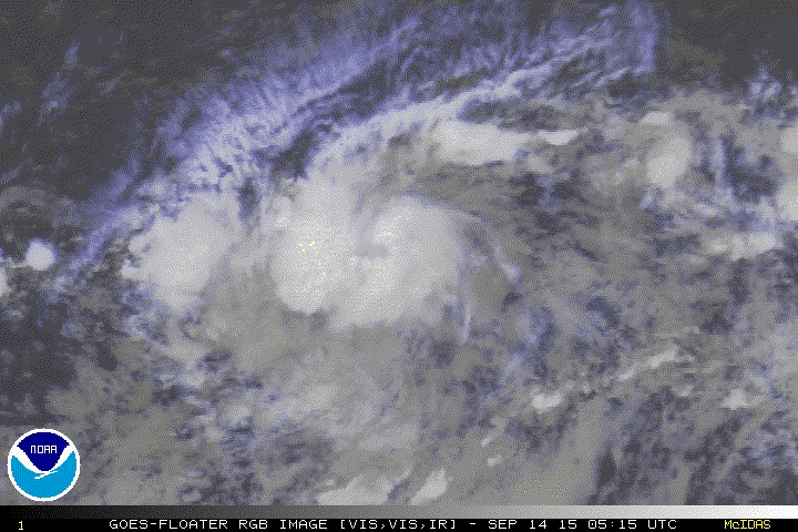
Wave ahead of this has a lot more convection.
Moderator: S2k Moderators


Alyono wrote:I wasn't expecting these overnight developments...


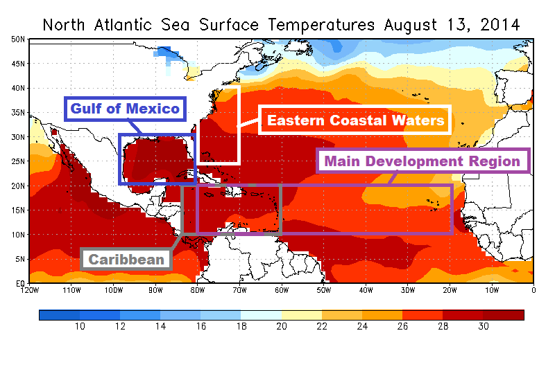
otowntiger wrote:dumb amateur question here: what does 'MDR' stand for exactly?I know it has to do the tropical development area for the Atlantic basin in general. I'm guessing it stands for "Major Development Region"

otowntiger wrote:dumb amateur question here: what does 'MDR' stand for exactly?

ConvergenceZone wrote:Yep, that's 2015 For ya....I'm ready to stick a fork in 2015.......Bring on Non ElNino 2016...I can't wait!
WPBWeather wrote:ConvergenceZone wrote:Yep, that's 2015 For ya....I'm ready to stick a fork in 2015.......Bring on Non ElNino 2016...I can't wait!
Nope. Plenty more action for 2015.

Users browsing this forum: No registered users and 19 guests


