wxman57 wrote:stormwise wrote:http://www.youtube.com/watch?v=S3SKHuP0hW8
Interesting.
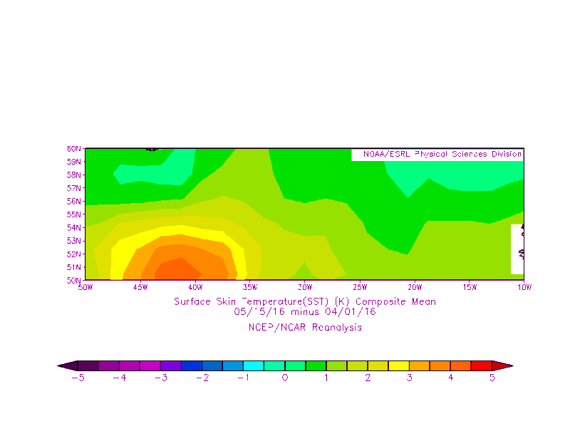
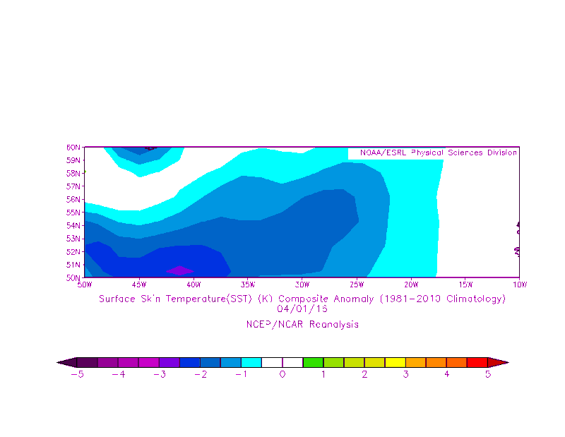
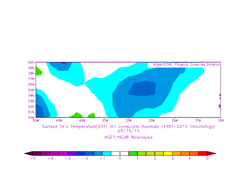
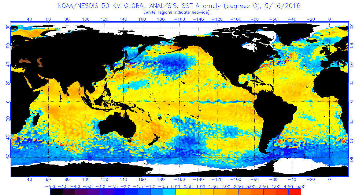
A bit overly dramatic, and incorrect in several areas. PDO is currently positive (warm), not negative, and current AMO is negative (cold), not positive. I'm seeing nothing to suggest ACE over 200 this season. However, I still say we need to watch the western Caribbean & Gulf for major hurricane activity this year.
Not seeing a cold AMO since the mid-1990s we have been in a warm phase ,PDO is positive retrograde atm yes but we are in the transition phase to nina. I think around August we will have a clearer picture with the PDO being matched or miss-matched.

AMO Calculated by NOAA/ESRL (CDC) (last update 15-APR-2016).