#894 Postby Hammy » Sat Jul 09, 2016 7:49 pm
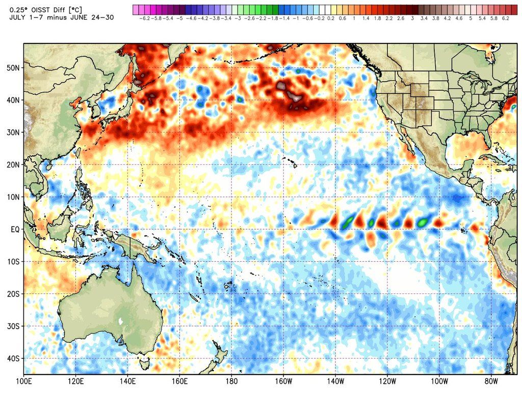
This can be moved to the model thread if needed but I feel it can go here too: The GFS over the last few days has been very slowly thickening the ITCZ and developing almost-spinups, each time a tiny bit longer lasting than the previous run, and now appears to have some actual gyres form along it. The models have also been trending further north with the 500MB pressure anomalies, which is another indication of the monsoon trough moving north into a more favorable position. It would be unsurprising to go the rest of July without so much as a depression (the same happened in 2012 and 2004) but it would also be surprising with this trend not to see some development in the first week of August.
2 likes
The above post is not official and should not be used as such. It is the opinion of the poster and may or may not be backed by sound meteorological data. It is not endorsed by any professional institution or storm2k.org. For official information, please refer to the NHC and NWS products.


