ENSO Updates (2007 thru 2023)
Moderator: S2k Moderators
Forum rules

The posts in this forum are NOT official forecasts and should not be used as such. They are just the opinion of the poster and may or may not be backed by sound meteorological data. They are NOT endorsed by any professional institution or STORM2K. For official information, please refer to products from the National Hurricane Center and National Weather Service.

Re: ENSO Updates
Latest CFS forecast is weird, it's like it had bad inicialization or something, reminds me to what it did a few month ago when there was a false cool pool in South America that affected the whole solution of the model.
1 likes


Re: ENSO Updates
Macrocane wrote:Latest CFS forecast is weird, it's like it had bad inicialization or something, reminds me to what it did a few month ago when there was a false cool pool in South America that affected the whole solution of the model.
Yeah, I think is a big red flag that it shows Nino 3.4 warming up to warm neutral during August when the Euro shows increasing easterlies across the equatorial pacific over the next few days so it could be once again a bad initiation.
1 likes


-
cycloneye

- Admin

- Posts: 149450
- Age: 69
- Joined: Thu Oct 10, 2002 10:54 am
- Location: San Juan, Puerto Rico
Re: ENSO Updates
0 likes
Visit the Caribbean-Central America Weather Thread where you can find at first post web cams,radars
and observations from Caribbean basin members Click Here
and observations from Caribbean basin members Click Here


Re: ENSO Updates
Holds at -0.6C this week
0 likes
The above post and any post by Ntxw is NOT an official forecast and should not be used as such. It is just the opinion of the poster and may or may not be backed by sound meteorological data. It is NOT endorsed by any professional institution including Storm2k. For official information, please refer to NWS products.
Help support Storm2K!
-
cycloneye
- Admin
- Posts: 149450
- Age: 69
- Joined: Thu Oct 10, 2002 10:54 am
- Location: San Juan, Puerto Rico
Re: ENSO Updates
CPC in the 7/25/16 update has Nino 3.4 the same as last week's update -0.6C.
http://www.cpc.noaa.gov/products/analys ... ts-web.pdf
http://www.cpc.noaa.gov/products/analys ... ts-web.pdf
0 likes
Visit the Caribbean-Central America Weather Thread where you can find at first post web cams,radars
and observations from Caribbean basin members Click Here
and observations from Caribbean basin members Click Here
-
cycloneye
- Admin
- Posts: 149450
- Age: 69
- Joined: Thu Oct 10, 2002 10:54 am
- Location: San Juan, Puerto Rico
Re: ENSO Updates
0 likes
Visit the Caribbean-Central America Weather Thread where you can find at first post web cams,radars
and observations from Caribbean basin members Click Here
and observations from Caribbean basin members Click Here

Re: ENSO Updates
Hmm not a big fan of big Joe
Also big joe there is no such thing as Sub surface SST and we are not heading for an eminent ice age
 in fact it's just the opposite.
0 likes

Re: ENSO Updates
Indeed. Sub surface sea surface temperature (SST) seems to be a contradiction, because it's either sub surface or it's not! I guess he meant to say "sub-surface sea temperature".Hunabku wrote:... there is no such thing as Sub surface SST and we are not heading for an eminent ice age
0 likes
-
cycloneye
- Admin
- Posts: 149450
- Age: 69
- Joined: Thu Oct 10, 2002 10:54 am
- Location: San Juan, Puerto Rico
Re: ENSO Updates
0 likes
Visit the Caribbean-Central America Weather Thread where you can find at first post web cams,radars
and observations from Caribbean basin members Click Here
and observations from Caribbean basin members Click Here

Re: ENSO Updates
Daily soi has been mostly positive, 30 day and 90 day are still fairly neutral. The trade burst will help the central Pacific cold pool underneath which does need replenishing. While it is cold, it is not nearly as cold as you need it to be for a more significant Nina. Still favoring the weak end La Nina, nothing has really changed to go up.
I think it's pretty evident we are not getting a 1997-1998 Nino-Nina type switch. It may be similar to 1983 where it got several trimonthlies enough for an almost Nina.


However there is still a path to a moderate event. It has been done before with weak values during this period...2007, The subsurface then was not that impressive either but the atmospheric response was phenomenal and the -PDO really drove that event above the ocean.
Code: Select all
23 Jul 2016   1015.68   1011.70   18.65   3.28   1.17
24 Jul 2016   1015.74   1011.55   19.94   3.51   1.57
25 Jul 2016   1015.90   1011.80   19.39   3.56   2.09
26 Jul 2016   1014.99   1012.00   12.56   3.65   2.57
27 Jul 2016   1013.99   1012.70   2.09   3.39   2.77
28 Jul 2016   1013.29   1013.80   -8.99   2.81   2.92
29 Jul 2016   1013.51   1013.00   -2.71   2.75   3.14
30 Jul 2016   1014.96   1012.40   9.91   3.11   3.35
I think it's pretty evident we are not getting a 1997-1998 Nino-Nina type switch. It may be similar to 1983 where it got several trimonthlies enough for an almost Nina.
However there is still a path to a moderate event. It has been done before with weak values during this period...2007, The subsurface then was not that impressive either but the atmospheric response was phenomenal and the -PDO really drove that event above the ocean.
0 likes
The above post and any post by Ntxw is NOT an official forecast and should not be used as such. It is just the opinion of the poster and may or may not be backed by sound meteorological data. It is NOT endorsed by any professional institution including Storm2k. For official information, please refer to NWS products.
Help support Storm2K!
Help support Storm2K!
-
CaliforniaResident
- Tropical Storm

- Posts: 215
- Joined: Fri Feb 21, 2014 1:47 pm
Re: ENSO Updates
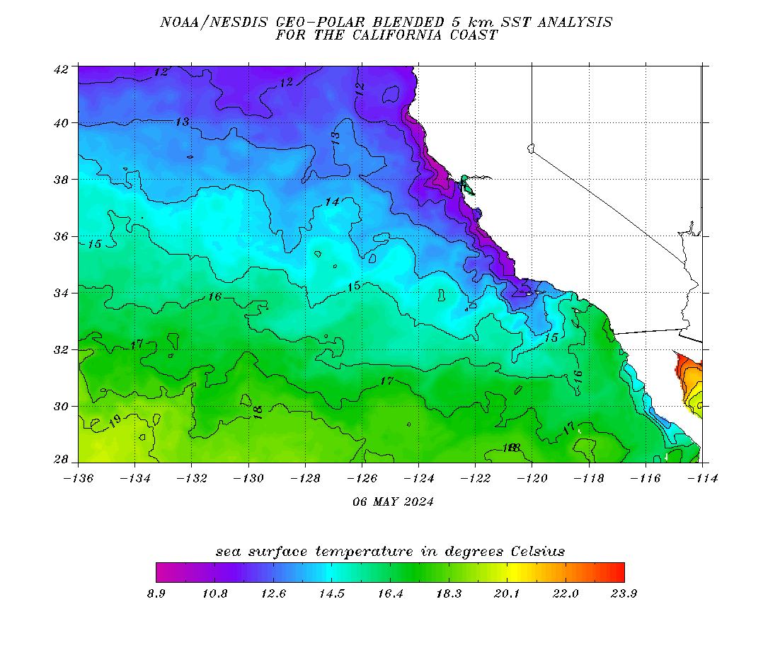
What is surprising to me is how the water temps here are still in El Nino mode (mid to upper 70s). During a La Nina summer, they are supposed to be at or below normal. During the summer of 2010, the water temperatures here were mostly in the low to mid 60s. I find the 10-15 degree difference between the average summer water temps mind boggling considering both were transitions into La Nina. I know this is just a tiny element in the whole overall global configuration but it appears that the EPAC doesn't want to cool down.
0 likes
Re: ENSO Updates
CaliforniaResident wrote:What is surprising to me is how the water temps here are still in El Nino mode (mid to upper 70s). During a La Nina summer, they are supposed to be at or below normal. During the summer of 2010, the water temperatures here were mostly in the low to mid 60s. I find the 10-15 degree difference between the average summer water temps mind boggling considering both were transitions into La Nina. I know this is just a tiny element in the whole overall global configuration but it appears that the EPAC doesn't want to cool down.
The warmer waters are the result of the persistent +PDO
1 likes
The above post and any post by Ntxw is NOT an official forecast and should not be used as such. It is just the opinion of the poster and may or may not be backed by sound meteorological data. It is NOT endorsed by any professional institution including Storm2k. For official information, please refer to NWS products.
Help support Storm2K!
Help support Storm2K!
-
CaliforniaResident
- Tropical Storm
- Posts: 215
- Joined: Fri Feb 21, 2014 1:47 pm
Re: ENSO Updates
Ntxw wrote:CaliforniaResident wrote:What is surprising to me is how the water temps here are still in El Nino mode (mid to upper 70s). During a La Nina summer, they are supposed to be at or below normal. During the summer of 2010, the water temperatures here were mostly in the low to mid 60s. I find the 10-15 degree difference between the average summer water temps mind boggling considering both were transitions into La Nina. I know this is just a tiny element in the whole overall global configuration but it appears that the EPAC doesn't want to cool down.
The warmer waters are the result of the persistent +PDO
Not sure if you realize how anomalous 75F+ SST are for us: it's like the +PDO has a much tighter grip on the forces than the waters in the equatorial Pacific. It will be very interesting to see how the effects play out in both the Atlantic and Pacific during the heart of the hurricane season. Both basins could end up with well above normal ACE in the end.
0 likes
Re: ENSO Updates
CaliforniaResident wrote:Ntxw wrote:CaliforniaResident wrote:What is surprising to me is how the water temps here are still in El Nino mode (mid to upper 70s). During a La Nina summer, they are supposed to be at or below normal. During the summer of 2010, the water temperatures here were mostly in the low to mid 60s. I find the 10-15 degree difference between the average summer water temps mind boggling considering both were transitions into La Nina. I know this is just a tiny element in the whole overall global configuration but it appears that the EPAC doesn't want to cool down.
The warmer waters are the result of the persistent +PDO
Not sure if you realize how anomalous 75F+ SST are for us: it's like the +PDO has a much tighter grip on the forces than the waters in the equatorial Pacific. It will be very interesting to see how the effects play out in both the Atlantic and Pacific during the heart of the hurricane season. Both basins could end up with well above normal ACE in the end.
Weird how southern California's coastal waters are so warm but the rest of the California's coastal waters are slightly below average, well into the 50s.
I bet you guys in southern California are enjoying those mid to upper 70s SSTs!!!
0 likes
-
CaliforniaResident
- Tropical Storm
- Posts: 215
- Joined: Fri Feb 21, 2014 1:47 pm
Re: ENSO Updates
NDG wrote:CaliforniaResident wrote:Ntxw wrote:
The warmer waters are the result of the persistent +PDO
Not sure if you realize how anomalous 75F+ SST are for us: it's like the +PDO has a much tighter grip on the forces than the waters in the equatorial Pacific. It will be very interesting to see how the effects play out in both the Atlantic and Pacific during the heart of the hurricane season. Both basins could end up with well above normal ACE in the end.
Weird how southern California's coastal waters are so warm but the rest of the California's coastal waters are slightly below average, well into the 50s.
I bet you guys in southern California are enjoying those mid to upper 70s SSTs!!!
Yes, the beaches have been great over the past several weeks (only complaint is the crowds!). I do believe last year, the entire state was above normal with SST with nearly 70F SST as far north as San Francisco but that seems have gone by the wayside. I still wonder if the PDO will crash big time over upcoming winter and summer of 2017 will bring that super La Nina on a large global scale (similar to how the failure of El Nino to develop in 2014 but how the atmosphere set itself up to blossom the following year).
0 likes
Re: ENSO Updates
CaliforniaResident wrote:NDG wrote:CaliforniaResident wrote:
Not sure if you realize how anomalous 75F+ SST are for us: it's like the +PDO has a much tighter grip on the forces than the waters in the equatorial Pacific. It will be very interesting to see how the effects play out in both the Atlantic and Pacific during the heart of the hurricane season. Both basins could end up with well above normal ACE in the end.
Weird how southern California's coastal waters are so warm but the rest of the California's coastal waters are slightly below average, well into the 50s.
I bet you guys in southern California are enjoying those mid to upper 70s SSTs!!!
Yes, the beaches have been great over the past several weeks (only complaint is the crowds!). I do believe last year, the entire state was above normal with SST with nearly 70F SST as far north as San Francisco but that seems have gone by the wayside. I still wonder if the PDO will crash big time over upcoming winter and summer of 2017 will bring that super La Nina on a large global scale (similar to how the failure of El Nino to develop in 2014 but how the atmosphere set itself up to blossom the following year).
The reason SSTs were higher across all of California's coast during 2015 was to large extent due to the persistence of the Aleutian Low (AL). The AL transports up relatively warmer water from the south and quells the costal upwelling that comes from high-pressure anticyclonic winds. The high pressures during Nina are more powerful while better positioned and SSTs are getting chillier as a result.
0 likes
-
cycloneye
- Admin
- Posts: 149450
- Age: 69
- Joined: Thu Oct 10, 2002 10:54 am
- Location: San Juan, Puerto Rico
Re: ENSO Updates
0 likes
Visit the Caribbean-Central America Weather Thread where you can find at first post web cams,radars
and observations from Caribbean basin members Click Here
and observations from Caribbean basin members Click Here
-
wxmann_91

- Category 5

- Posts: 8007
- Age: 34
- Joined: Fri Jul 15, 2005 2:49 pm
- Location: Southern California
- Contact:
Re: ENSO Updates
CaliforniaResident wrote:Yes, the beaches have been great over the past several weeks (only complaint is the crowds!). I do believe last year, the entire state was above normal with SST with nearly 70F SST as far north as San Francisco but that seems have gone by the wayside. I still wonder if the PDO will crash big time over upcoming winter and summer of 2017 will bring that super La Nina on a large global scale (similar to how the failure of El Nino to develop in 2014 but how the atmosphere set itself up to blossom the following year).
PDO is not going to crash anytime soon, especially coming from a record + state the past few years. My thinking is the +PDO and -ENSO will help to modulate each others' magnitudes over the coming winter.
1 likes
Who is online
Users browsing this forum: No registered users and 137 guests