ATL: HERMINE - Post-Tropical - Discussion
Moderator: S2k Moderators

Re: ATL: NINE - Tropical Depression - Discussion
The storm has grown in size so it might look good but it is still being sheered by the inflow from GA. If you look in mexico yucatan area you will see on visible finger like protrusions. And you will cirrus clouds. Looks like yesterday. This is not going to be a power house today anyways.
0 likes
Robbielyn McCrary
I know just about enough to sound like I know what I'm talking about sometimes. But for your safety please follow the nhc for truly professional forecasting.
I know just about enough to sound like I know what I'm talking about sometimes. But for your safety please follow the nhc for truly professional forecasting.

Re: ATL: NINE - Tropical Depression - Discussion
LarryWx wrote:ScottNAtlanta wrote:I'm sticking with 996/45kts on first vortex
BTW...if you get it right...what is the prize?
An all expense paid vacation, including an unlimited supply of Pina Coladas and a portable weather station, to wherever it makes landfall.

If we can choose the dates, I'd be happy to take that.
1 likes
Personal Forecast Disclaimer:
The posts in this forum are NOT official forecast and should not be used as such. They are just the opinion of the poster and may or may not be backed by sound meteorological data. They are NOT endorsed by any professional institution or storm2k.org. For official information, please refer to the NHC and NWS products.
The posts in this forum are NOT official forecast and should not be used as such. They are just the opinion of the poster and may or may not be backed by sound meteorological data. They are NOT endorsed by any professional institution or storm2k.org. For official information, please refer to the NHC and NWS products.
-
benh316
Re: ATL: NINE - Tropical Depression - Discussion
setexholmes wrote:I know I may be -removed- a little (something I try to avoid at all costs) but I'm just not sold yet on the north east track yet. I'm not buying a quick turn to Floridas Big Bend area. I think this thing may landfall closer to Pensacola or mobile. Again just my opinion.
Disclaimer: I have no clue what I'm talking about
You shouldn't be sold on any track. When these systems stall out like this - anything can and will happen. We simply do not have the technology to account for all of the variables that effect the shift of a stationary system one way or another - particularly when it is in an area that is highly conducive for further development in shorter periods of time.
Yes - the majority of models the past 48 hours have predicted tracks along the same "causeway" - but they also did not account for a system that stalled. This changes everything in my opinion
0 likes
-
ScottNAtlanta

- Category 5

- Posts: 2535
- Joined: Sat May 25, 2013 3:11 pm
- Location: Atlanta, GA
Re: ATL: NINE - Tropical Depression - Discussion
LarryWx wrote:ScottNAtlanta wrote:I'm sticking with 996/45kts on first vortex
BTW...if you get it right...what is the prize?
An all expense paid vacation, including an unlimited supply of Pina Coladas and a portable weather station, to wherever it makes landfall.
Can I pick curtain number 2 instead?

0 likes
The posts in this forum are NOT official forecast and should not be used as such. They are just the opinion of the poster and may or may not be backed by sound meteorological data. They are NOT endorsed by any professional institution or storm2k.org. For official information, please refer to the NHC and NWS products.

Re: ATL: NINE - Tropical Depression - Discussion
chris_fit wrote:chaser1 wrote:hohnywx wrote:
Should be taking off within the next 15 mins.
Are you kidding me????? As if this P3 has been taxiing for the last 1 1/2 hours? What are they doing.... I mean, how much time does it take to load a few box meals for that small crew??
They are flying
http://airbornescience.nasa.gov/tracker ... g=-81.7653
Wow, that is a pretty cool website. I will need to save that one!!!
0 likes
Re: ATL: NINE - Tropical Depression - Discussion
ScottNAtlanta wrote:I'm sticking with 996/45kts on first vortex
BTW...if you get it right...what is the prize?
Date with Hermine???
0 likes
-
SEASON_CANCELED

- Category 3

- Posts: 887
- Joined: Mon Jul 06, 2009 5:17 am
- Location: 8 Bit Charlie Sheen
Re: ATL: NINE - Tropical Depression - Discussion
benh316 wrote:setexholmes wrote:I know I may be -removed- a little (something I try to avoid at all costs) but I'm just not sold yet on the north east track yet. I'm not buying a quick turn to Floridas Big Bend area. I think this thing may landfall closer to Pensacola or mobile. Again just my opinion.
Disclaimer: I have no clue what I'm talking about
You shouldn't be sold on any track. When these systems stall out like this - anything can and will happen. We simply do not have the technology to account for all of the variables that effect the shift of a stationary system one way or another - particularly when it is in an area that is highly conducive for further development in shorter periods of time.
Yes - the majority of models the past 48 hours have predicted tracks along the same "causeway" - but they also did not account for a system that stalled. This changes everything in my opinion
Yeah i was thinking the same thing. Storm has pretty much stalled out and theoretically that may put the middle Florida/Tampa area back into play. That trough may not meet TD9 at 26N like the models think.
1 likes
i am a big stupid ugly moron with an ugly face and a big butt and my butt stinks and i like to kiss my own butt
-
CrazyC83
- Professional-Met

- Posts: 34315
- Joined: Tue Mar 07, 2006 11:57 pm
- Location: Deep South, for the first time!
Re: ATL: NINE - Recon
000
URNT15 KWBC 311605
NOAA3 1009A CYCLONE HDOB 02 20160831
155600 2733N 08230W 7656 02437 0132 +141 +114 185022 023 /// /// 03
155630 2731N 08230W 7458 02657 0131 +128 +097 184020 020 /// /// 03
155700 2729N 08229W 7339 02791 0132 +117 +091 184018 019 /// /// 03
155730 2727N 08228W 7203 02945 0132 +106 +085 181017 018 /// /// 03
155800 2725N 08228W 6999 03186 0131 +092 +070 184016 017 /// /// 03
155830 2723N 08227W 6778 03451 0130 +076 +060 182014 015 /// /// 03
155900 2721N 08226W 6569 03708 0131 +060 +047 183015 016 /// /// 03
155930 2720N 08226W 6433 03878 0126 +051 +041 193013 014 /// /// 03
160000 2718N 08225W 6313 04034 0124 +043 +032 182013 013 /// /// 03
160030 2716N 08224W 6177 04209 0124 +032 +025 178012 012 /// /// 03
160100 2714N 08224W 6060 04364 0119 +025 +020 176012 013 /// /// 03
160130 2711N 08223W 6039 04389 0113 +023 +019 181013 014 /// /// 03
160200 2709N 08223W 5977 04475 0110 +023 +016 181012 013 /// /// 03
160230 2708N 08225W 5944 04515 0106 +020 +013 182012 013 /// /// 03
160300 2708N 08228W 5928 04537 0102 +019 +012 187012 013 /// /// 03
160330 2707N 08230W 5930 04533 0102 +019 +015 182015 016 /// /// 03
160400 2707N 08233W 5946 04515 0104 +020 //// 178018 023 /// /// 05
160430 2707N 08235W 5962 04495 0102 +024 +021 177027 028 /// /// 03
160500 2707N 08238W 5964 04491 0091 +030 +022 180030 032 /// /// 03
160530 2707N 08240W 5957 04499 0087 +031 +023 181029 031 /// /// 03
0 likes
-
jasons2k

- Storm2k Executive

- Posts: 8290
- Age: 52
- Joined: Wed Jul 06, 2005 12:32 pm
- Location: The Woodlands, TX
ATL: NINE - Tropical Depression - Discussion
If it were to miss the trough (not at all likely but not impossible) the track won't shift a little west to Mobile or Pensacola. It would be a total game changer and we'd be looking at the central or western gulf. So yes, that is just -removed-. 
Corrected - west not east
Corrected - west not east
1 likes
-
Dave C
- S2K Supporter

- Posts: 868
- Joined: Thu Sep 04, 2003 4:36 pm
- Location: Middleboro, Mass.(midway between Cape Cod and Boston)
Re: ATL: NINE - Tropical Depression - Discussion
Something to think about, the slower this moves towards the coast the better chance of upwelling due to low ocean heat content, especially if it's stronger.
0 likes

Re: ATL: NINE - Tropical Depression - Discussion
http://flightaware.com/live/flight/NOAA ... /KMCF/KMCF
They weren't due to take off until noon. And they are now in the air
They weren't due to take off until noon. And they are now in the air
chaser1 wrote:hohnywx wrote:CrazyC83 wrote:When does Recon fly into the storm?
Should be taking off within the next 15 mins.
Are you kidding me????? As if this P3 has been taxiing for the last 1 1/2 hours? What are they doing.... I mean, how much time does it take to load a few box meals for that small crew??
0 likes
Re: ATL: NINE - Tropical Depression - Discussion
We are getting inundated here. And it's about to get worse. this convection isn't even directly connected to the depression. rain amount of 5"+ are already common. the kiddos get a day off tomorrow in Hillsborough and Pinellas...probably a prudent call
1 likes
Re: ATL: NINE - Tropical Depression - Discussion
FORECAST VALID 31/1800Z 26.8N 87.4W - That was from the very first advisory from the NHC, and we are at TROPICAL DEPRESSION CENTER LOCATED NEAR 24.6N 88.0W AT 31/1500Z. So we are quite a bit further South and West than we should of been from just Sunday night's guess.
0 likes
Personal Forecast Disclaimer:
The posts in this forum are NOT official forecast and should not be used as such. They are just the opinion of the poster and may or may not be backed by sound meteorological data. They are NOT endorsed by any professional institution or storm2k.org. For official information, please refer to the NHC and NWS products.
The posts in this forum are NOT official forecast and should not be used as such. They are just the opinion of the poster and may or may not be backed by sound meteorological data. They are NOT endorsed by any professional institution or storm2k.org. For official information, please refer to the NHC and NWS products.

Re: ATL: NINE - Tropical Depression - Discussion
My perspective: Whats obvious is that the tops have recently warmed some, but this may be just prior to another large burst of convection.... or not.
Looks like the MLC has either waned or that the MLC has begun to merge with the LLC... but still not quite vertically stacked yet.
My impression is that the LLC has actually drifted south or maybe slightly SSE and per my eyes is now at 87.8 23.8
I'm thinking that TD9 might be making a small cyclonic loop but will then FINALLY commence a slow northward motion within 3-4 hours
What will recon find?? I'll throw my .02 cents in and guess: 998mb and 35 knots - yes, I think this train-wreck is about to get upgraded
Last edited by chaser1 on Wed Aug 31, 2016 11:20 am, edited 1 time in total.
0 likes
Andy D
(For official information, please refer to the NHC and NWS products.)
(For official information, please refer to the NHC and NWS products.)

Re: ATL: NINE - Tropical Depression - Discussion
OntarioEggplant wrote:Lol hilarious. The FL wind us already 31 KT and pressure 1009 mb just in the rain band by St Pete.
Several thousand people out of power in Pinellas county already.
1 likes

Re: ATL: NINE - Tropical Depression - Discussion
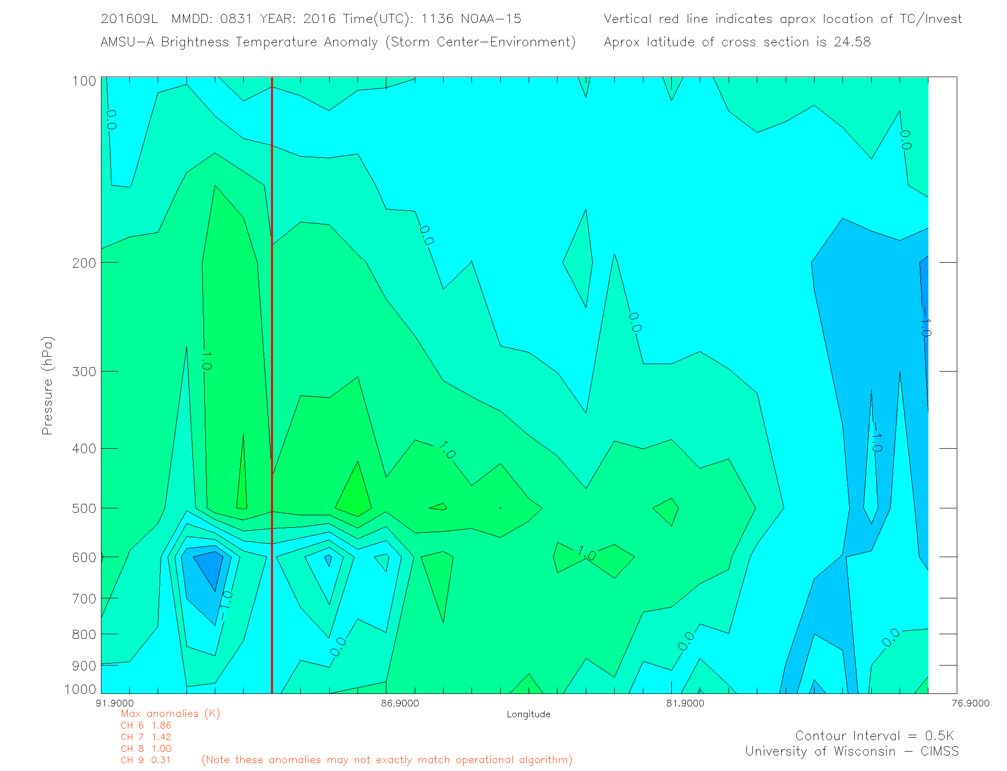
Core is improving.
Not quite symmetrically centered on the CoC yet.
But, at 1.5C in the 500 to 400mb area with lower temperatures below which aids parcel ascent.
Not quite symmetrically centered on the CoC yet.
But, at 1.5C in the 500 to 400mb area with lower temperatures below which aids parcel ascent.
0 likes
Re: ATL: NINE - Tropical Depression - Discussion
Dave C wrote:Something to think about, the slower this moves towards the coast the better chance of upwelling due to low ocean heat content, especially if it's stronger.
Actually upwelling isn't as much a factor in the Gulf due to the Water temp goes almost all the way to the bottom of the Gulf due to the depth not being as much as the Ocean and not having freezing temps dropping the water temps that much during the winter, so the temps don't fluctuate that much. If I remember correctly.
1 likes
Personal Forecast Disclaimer:
The posts in this forum are NOT official forecast and should not be used as such. They are just the opinion of the poster and may or may not be backed by sound meteorological data. They are NOT endorsed by any professional institution or storm2k.org. For official information, please refer to the NHC and NWS products.
The posts in this forum are NOT official forecast and should not be used as such. They are just the opinion of the poster and may or may not be backed by sound meteorological data. They are NOT endorsed by any professional institution or storm2k.org. For official information, please refer to the NHC and NWS products.

Re: ATL: NINE - Tropical Depression - Discussion
WJXT was live at Cedar Key and storm surge has already almost covered one the beaches there and is about to cover the roadway right by it. Also, power poles at that beach are being surrounded by water.
0 likes
The posts or stuff said are NOT an official forecast. Please look to the NHC and NWS for official forecasts and products.
Floyd-1999, Frances-2004, Jeanne-2004, Fay-2008, Beryl-2012, Debby-2012, Colin-2016, Hermine-2016, Julia-2016, Matthew-2016, Irma-2017, Elsa-2021, Idalia-2023, Debby-2024, Helene-2024.
Go Gators! Go Jags!
Floyd-1999, Frances-2004, Jeanne-2004, Fay-2008, Beryl-2012, Debby-2012, Colin-2016, Hermine-2016, Julia-2016, Matthew-2016, Irma-2017, Elsa-2021, Idalia-2023, Debby-2024, Helene-2024.
Go Gators! Go Jags!
-
jlauderdal
- S2K Supporter
- Posts: 7240
- Joined: Wed May 19, 2004 5:46 am
- Location: NE Fort Lauderdale
- Contact:
Re: ATL: NINE - Tropical Depression - Discussion
chaser1 wrote:hohnywx wrote:CrazyC83 wrote:When does Recon fly into the storm?
Should be taking off within the next 15 mins.
Are you kidding me????? As if this P3 has been taxiing for the last 1 1/2 hours? What are they doing.... I mean, how much time does it take to load a few box meals for that small crew??
they left when they were scheduled to leave...its the USAF, they tend do things as planned...
1 likes
-
Dave C
- S2K Supporter
- Posts: 868
- Joined: Thu Sep 04, 2003 4:36 pm
- Location: Middleboro, Mass.(midway between Cape Cod and Boston)
Re: ATL: NINE - Tropical Depression - Discussion
Blinhart wrote:Dave C wrote:Something to think about, the slower this moves towards the coast the better chance of upwelling due to low ocean heat content, especially if it's stronger.
Actually upwelling isn't as much a factor in the Gulf due to the Water temp goes almost all the way to the bottom of the Gulf due to the depth not being as much as the Ocean and not having freezing temps dropping the water temps that much during the winter, so the temps don't fluctuate that much. If I remember correctly.
I'm pretty sure someone mentioned the 26 deg. isotherm is only a short distance below the surface.
0 likes
Who is online
Users browsing this forum: No registered users and 56 guests