
Pressure down another 3mb to 985mb
URNT12 KNHC 300130
VORTEX DATA MESSAGE AL142016
A. 30/01:13:40Z
B. 14 deg 09 min N
068 deg 26 min W
C. 700 mb 2967 m
D. 43 kt
E. 112 deg 21 nm
F. 211 deg 44 kt
G. 118 deg 30 nm
H. 985 mb
I. 11 C / 3045 m
J. 15 C / 3051 m
K. 8 C / NA
L. OPEN S
M. C22
N. 12345 / 7
O. 0.02 / 5 nm
P. AF306 0614A MATTHEW OB 08
MAX OUTBOUND AND MAX FL WIND 76 KT 311 / 21 NM 01:19:20Z
CNTR DROPSONDE SFC WIND 080 / 18 KT
ATL: MATTHEW - Post-Tropical - Discussion
Moderator: S2k Moderators
-
tolakram
- Admin

- Posts: 20185
- Age: 62
- Joined: Sun Aug 27, 2006 8:23 pm
- Location: Florence, KY (name is Mark)
Re: ATL: MATTHEW - Hurricane - Discussion

0 likes
M a r k
- - - - -
Join us in chat: Storm2K Chatroom Invite. Android and IOS apps also available.
The posts in this forum are NOT official forecasts and should not be used as such. Posts are NOT endorsed by any professional institution or STORM2K.org. For official information and forecasts, please refer to NHC and NWS products.
Re: ATL: MATTHEW - Hurricane - Discussion
JaxGator wrote:NDG wrote:Just like forecasted by the models it has been moving south of due west this evening, it should continue through the day tomorrow.
http://i20.photobucket.com/albums/b245/ ... kcqrox.gif
And the center/eyewall looks more defined and intense. Or, it looks that way because it's more in range.
I'm sure that it is closer in radar range has a lot to do with it, but pressure continues to drop during the past few hours so it is also getting better organized.
0 likes
-
Bocadude85

- Category 5

- Posts: 2991
- Age: 39
- Joined: Mon Apr 18, 2005 2:20 pm
- Location: Honolulu,Hi
Re: ATL: MATTHEW - Hurricane - Discussion
NDG wrote:Just like forecasted by the models it has been moving south of due west this evening, it should continue through the day tomorrow.
http://i20.photobucket.com/albums/b245/ ... kcqrox.gif
Seems to have started the SW motion a little earlier then forecast...
0 likes
Re: ATL: MATTHEW - Hurricane - Discussion
of course, I get this additional wind data AFTER I issue an advisory on this
2 likes
-
Emmett_Brown

- Category 5
- Posts: 1433
- Joined: Wed Aug 24, 2005 9:10 pm
- Location: Sarasota FL
Re: ATL: MATTHEW - Hurricane - Discussion
Looks like it moved a pretty good distance between VDM's... anyone have a guess as to the speed of forward motion currently?
0 likes
Re: ATL: MATTHEW - Hurricane - Discussion
Dean4Storms wrote:Southern periphery looks like drier air is getting into the storm off the mountains along the Venezuela Coast. Notice the cloud tops warming as well.
levi cowan predicted this
0 likes
Robbielyn McCrary
I know just about enough to sound like I know what I'm talking about sometimes. But for your safety please follow the nhc for truly professional forecasting.
I know just about enough to sound like I know what I'm talking about sometimes. But for your safety please follow the nhc for truly professional forecasting.
-
blazess556
- Professional-Met

- Posts: 250
- Joined: Mon Aug 31, 2009 10:51 pm
- Location: Germantown, MD
Re: ATL: MATTHEW - Hurricane - Discussion
Dropsonde (NW) from the eye center reported this : 924mb 20° (from the NNE) 106 knots (122 mph)
0 likes

Re: ATL: MATTHEW - Hurricane - Discussion
NDG wrote:Pressure down another 3mb to 985mb
URNT12 KNHC 300130
VORTEX DATA MESSAGE AL142016
A. 30/01:13:40Z
B. 14 deg 09 min N
068 deg 26 min W
C. 700 mb 2967 m
D. 43 kt
E. 112 deg 21 nm
F. 211 deg 44 kt
G. 118 deg 30 nm
H. 985 mb
I. 11 C / 3045 m
J. 15 C / 3051 m
K. 8 C / NA
L. OPEN S
M. C22
N. 12345 / 7
O. 0.02 / 5 nm
P. AF306 0614A MATTHEW OB 08
MAX OUTBOUND AND MAX FL WIND 76 KT 311 / 21 NM 01:19:20Z
CNTR DROPSONDE SFC WIND 080 / 18 KT
With 18kt winds that would actually support 983-984mb, right?
0 likes
Re: ATL: MATTHEW - Hurricane - Discussion
robbielyn wrote:Dean4Storms wrote:Southern periphery looks like drier air is getting into the storm off the mountains along the Venezuela Coast. Notice the cloud tops warming as well.
levi cowan predicted this
That's more than a myth than anything, IMO. We have seen many storms that have tracked real close to S.A. that have not been affected by any down slopping winds off of the Mts of S.A.
Good example was Felix '07, I remember that year many forecasters calling for it to weaken as it was forecasted to track real close to S.A., if anything it gained strength.
The biggest killer to storms in this area is the low level diverging winds across this part of the Caribbean, IMO.

Last edited by NDG on Thu Sep 29, 2016 8:55 pm, edited 1 time in total.
1 likes
-
CrazyC83
- Professional-Met
- Posts: 34315
- Joined: Tue Mar 07, 2006 11:57 pm
- Location: Deep South, for the first time!
Re: ATL: MATTHEW - Hurricane - Discussion
blazess556 wrote:Dropsonde (NW) from the eye center reported this : 924mb 20° (from the NNE) 106 knots (122 mph)
That would translate into surface winds of 80 kt using the ratio for that level (.75).
0 likes
-
wxman57

- Moderator-Pro Met

- Posts: 23173
- Age: 68
- Joined: Sat Jun 21, 2003 8:06 pm
- Location: Houston, TX (southwest)
Re: ATL: MATTHEW - Hurricane - Discussion
I'm still not seeing anything to indicate that there is a significant risk to Florida. If anything, I see less risk to Florida now than 24 hours ago. However, I won't give Florida the "all-clear" until the northward motion begins on Sunday, assuming there is good model agreement on a track through the central Bahamas and the steering currents become better-established. For now, my forecast has it moving through the Bahamas east of Andros Island (over Eleuthra) then northward, possibly coming close to the OB of NC but with a slightly better-than-not chance of missing landfall there.
Last year, all the models (except the EC) were indicating that Joaquin would strike the East U.S. Coast. Once the G-IV data were ingested into the model runs (Wednesday night) the track forecasts changed dramatically to offshore vs. a U.S. landfall. Hopefully, tonight's G-IV data will have a similar effect in consolidating the model forecasts.
Last year, all the models (except the EC) were indicating that Joaquin would strike the East U.S. Coast. Once the G-IV data were ingested into the model runs (Wednesday night) the track forecasts changed dramatically to offshore vs. a U.S. landfall. Hopefully, tonight's G-IV data will have a similar effect in consolidating the model forecasts.
5 likes
-
wxman57
- Moderator-Pro Met
- Posts: 23173
- Age: 68
- Joined: Sat Jun 21, 2003 8:06 pm
- Location: Houston, TX (southwest)
Re: ATL: MATTHEW - Hurricane - Discussion
Oh, and one thing about those vortex data messages. You cannot calculate forward motion (direction) using them. There's no guarantee that every VDM is precisely in the middle of what may be a 20-30 mile wide center. This is particularly true for systems without a well-defined eyewall.
3 likes
-
MaineWeatherNut
- Tropical Storm

- Posts: 225
- Joined: Sun Sep 01, 2013 5:06 pm
Re: ATL: MATTHEW - Hurricane - Discussion
wxman57 wrote:I'm still not seeing anything to indicate that there is a significant risk to Florida. If anything, I see less risk to Florida now than 24 hours ago. However, I won't give Florida the "all-clear" until the northward motion begins on Sunday, assuming there is good model agreement on a track through the central Bahamas and the steering currents become better-established. For now, my forecast has it moving through the Bahamas east of Andros Island (over Eleuthra) then northward, possibly coming close to the OB of NC but with a slightly better-than-not chance of missing landfall there.
Last year, all the models (except the EC) were indicating that Joaquin would strike the East U.S. Coast. Once the G-IV data were ingested into the model runs (Wednesday night) the track forecasts changed dramatically to offshore vs. a U.S. landfall. Hopefully, tonight's G-IV data will have a similar effect in consolidating the model forecasts.
And what happens if the upper air data does do a good job of consolidating the models but instead of out to sea they go with a Landfall?
0 likes
The content of this post does NOT constitute official forecast and should not be used as such. They are the opinion of the poster and may or may not be backed by sound meteorological data. They are NOT endorsed by any professional institution or Storm2K. For official information, please refer to the local meteorological centers of respective areas.

Re: ATL: MATTHEW - Hurricane - Discussion
wxman57 wrote:Last year, all the models (except the EC) were indicating that Joaquin would strike the East U.S. Coast. Once the G-IV data were ingested into the model runs (Wednesday night) the track forecasts changed dramatically to offshore vs. a U.S. landfall. Hopefully, tonight's G-IV data will have a similar effect in consolidating the model forecasts.
When will the data start reaching the models?
0 likes
The above post is not official and should not be used as such. It is the opinion of the poster and may or may not be backed by sound meteorological data. It is not endorsed by any professional institution or storm2k.org. For official information, please refer to the NHC and NWS products.
-
WeatherEmperor
- S2K Supporter

- Posts: 4806
- Age: 42
- Joined: Thu Sep 04, 2003 2:54 pm
- Location: South Florida
Re: ATL: MATTHEW - Hurricane - Discussion
MaineWeatherNut wrote:wxman57 wrote:I'm still not seeing anything to indicate that there is a significant risk to Florida. If anything, I see less risk to Florida now than 24 hours ago. However, I won't give Florida the "all-clear" until the northward motion begins on Sunday, assuming there is good model agreement on a track through the central Bahamas and the steering currents become better-established. For now, my forecast has it moving through the Bahamas east of Andros Island (over Eleuthra) then northward, possibly coming close to the OB of NC but with a slightly better-than-not chance of missing landfall there.
Last year, all the models (except the EC) were indicating that Joaquin would strike the East U.S. Coast. Once the G-IV data were ingested into the model runs (Wednesday night) the track forecasts changed dramatically to offshore vs. a U.S. landfall. Hopefully, tonight's G-IV data will have a similar effect in consolidating the model forecasts.
And what happens if the upper air data does do a good job of consolidating the models but instead of out to sea they go with a Landfall?
Well we would just have to stay tuned and find out wont we?
Sent from my iPhone 6 using Tapatalk
1 likes
-
centuryv58

- Tropical Storm
- Posts: 233
- Age: 67
- Joined: Sat Jul 30, 2016 1:24 pm
- Location: Southeast Florida
Re: ATL: MATTHEW - Hurricane - Discussion
Well, maybe these are not great effects, but Accuweather.com Pro Mets think this is what is in store for SE FL:
Previous 5 DaysNext 5 Days
THU
OCT 6
86° /75°
Windy with t-storms possible
More
FRI
OCT 7
88° /74°F
Very windy; t-storms possible
SAT
OCT 8
88° /73°
Very windy; a thunderstorm
More
Daily
Hourly
Morning
Afternoon
Evening
Overnight
DAY
88°HI
RealFeel® 89°
Precipitation 35%
Very windy; variable clouds with a couple of showers and thunderstorms possible
NE 39 mph
Gusts: 70 mph
Max UV Index: 7 (High)
Thunderstorms: 35%
Precipitation: 0 in
Rain: 0 in
Snow: 0 in
Ice: 0 in
Hours of Precipitation: 0 hrs
Hours of Rain: 0 hrs
NIGHT
74°LO
RealFeel® 69°
Precipitation 5%
Very windy; partly cloudy
E 47 mph
Gusts: 81 mph
Max UV Index: N/A
Thunderstorms: 0%
Precipitation: 0 in
Rain: 0 in
Snow: 0 in
Ice: 0 in
Hours of Precipitation: 0 hrs
Hours of Rain: 0 hrs
0 likes

Re: ATL: MATTHEW - Hurricane - Discussion
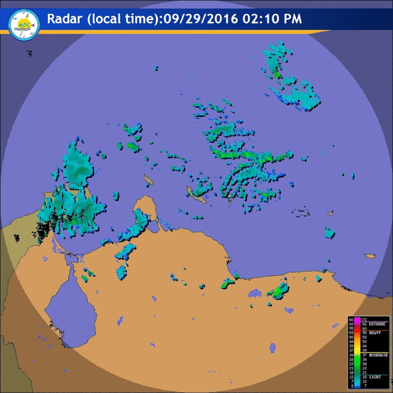
It continues its WSW track tonight, notice that every once in a while radar is detecting a couple of lightning near its eye.

1 likes
-
OuterBanker
- S2K Supporter
- Posts: 1761
- Joined: Wed Feb 26, 2003 10:53 am
- Location: Nags Head, NC
- Contact:
Re: ATL: MATTHEW - Hurricane - Discussion
Just a quick comment. What a perfect symmetrical cdo. First I've seen this season.
0 likes
Who is online
Users browsing this forum: No registered users and 7 guests