ATL: MATTHEW - Post-Tropical - Discussion
Moderator: S2k Moderators
-
TheShrimper
- Category 2

- Posts: 516
- Joined: Sun Aug 01, 2004 5:05 pm
Re: ATL: MATTHEW - Hurricane - Discussion
Lets see what happens on it's approach to Jamaica....that Island has a way of screwing with a storm's mind. Ivan was progged to run right over it.... only to have him stop and dance around it. Granted it was more of a east/west path, but we will see.
0 likes

Re: ATL: MATTHEW - Hurricane - Discussion
Incredible lightning on the northern eyewall on the last frame, recon should find that Matthew is now a Major Hurricane, IMO.
0 likes

Re: ATL: MATTHEW - Hurricane - Discussion
That is what I was hoping to not see. Matthew just made his first fist the in the NW quad. This is always a precursor to RI in developed systems. We haven't seen one in a while...I would say high end cat 4 at a minimum for overall peak intensity.
0 likes
-
jlauderdal
- S2K Supporter

- Posts: 7240
- Joined: Wed May 19, 2004 5:46 am
- Location: NE Fort Lauderdale
- Contact:
Re: ATL: MATTHEW - Hurricane - Discussion
TheShrimper wrote:Lets see what happens on it's approach to Jamaica....that Island has a way of screwing with a storm's mind. Ivan was progged to run right over it.... only to have him stop and dance around it. Granted it was more of a east/west path, but we will see.
Yes, it bounced off the southern coast..hurricanes dont like land
0 likes

Re: ATL: MATTHEW - Hurricane - Discussion
So with this latest track Matthew going almost dead on to Blue Mountain Peak on the eastern edge of Jamaica....6,795 feet. After that is the Cuban coast with 3700 feet west of Guantanamo and 2500 north. Certainly not Mt Everest but over the years we have seen storms get deflected and/or torn up by that type terrain. I agree that the trough and the turn are key...
0 likes
Re: ATL: MATTHEW - Hurricane - Discussion
Strongest winds so far over the NE eyewall.
111800 1354N 07008W 6960 03008 9903 +101 +101 137092 093 079 027 00
111830 1353N 07009W 6978 02969 9869 +108 +108 144090 092 087 030 00
111800 1354N 07008W 6960 03008 9903 +101 +101 137092 093 079 027 00
111830 1353N 07009W 6978 02969 9869 +108 +108 144090 092 087 030 00
0 likes
-
bob rulz
- Category 5

- Posts: 1711
- Age: 36
- Joined: Sat Jan 28, 2006 7:30 pm
- Location: Salt Lake City, Utah
Re: ATL: MATTHEW - Hurricane - Discussion
First visibles are coming in, HUGE hot tower over the core. Hard to imagine that this isn't still undergoing rapid intensification.
0 likes

Re: ATL: MATTHEW - Hurricane - Discussion
otowntiger wrote:GCANE wrote:GCANE wrote:Interesting to say the least.
The 200mb vort from the trough looks to be breaking up.
http://tropic.ssec.wisc.edu/real-time/w ... oom=&time=
Very likely the convection south of Cuba and north of Nicaragua is helping to break this up.
Key thing to watch today if we see more convection develop around the trough; especially if there is strong, afternoon popups over Cuba.
It could alter the forecasted track of Matthew.
http://www.ssd.noaa.gov/goes/east/tatl/wv-animated.gif
In what way, do you think?
The updraft from the convection and the left-over mid-layer moisture should weaken the trough.
0 likes
Re: ATL: MATTHEW - Hurricane - Discussion
Wow, pressure continued to drop after the last recon during the night.
112100 1348N 07014W 6971 02887 9692 +152 +109 160024 030 053 002 03
112130 1347N 07016W 6967 02888 9671 +166 +103 153011 020 038 002 00
112200 1346N 07018W 6969 02887 9663 +178 +088 205004 008 031 002 00
112230 1345N 07019W 6961 02902 9680 +166 +081 261006 010 021 000 00
112300 1344N 07021W 6966 02894 9688 +159 +080 275016 017 018 000 03
0 likes
-
Yellow Evan

- Professional-Met

- Posts: 16236
- Age: 27
- Joined: Fri Jul 15, 2011 12:48 pm
- Location: Henderson, Nevada/Honolulu, HI
- Contact:
Re: ATL: MATTHEW - Hurricane - Discussion
Likely around 90 knots per recon and the eye is clearing out.
0 likes
-
tolakram
- Admin

- Posts: 20185
- Age: 62
- Joined: Sun Aug 27, 2006 8:23 pm
- Location: Florence, KY (name is Mark)
Re: ATL: MATTHEW - Hurricane - Discussion

2 likes
M a r k
- - - - -
Join us in chat: Storm2K Chatroom Invite. Android and IOS apps also available.
The posts in this forum are NOT official forecasts and should not be used as such. Posts are NOT endorsed by any professional institution or STORM2K.org. For official information and forecasts, please refer to NHC and NWS products.
-
SouthDadeFish

- Professional-Met
- Posts: 2835
- Joined: Thu Sep 23, 2010 2:54 pm
- Location: Miami, FL
- Contact:
Re: ATL: MATTHEW - Hurricane - Discussion
Matthew will be a great case study of a TC (quickly) intensifying in a moderate wind shear environment. Here is a view of the hot tower in the NW quadrant, associated with a lot of lightning activity:

0 likes
Re: ATL: MATTHEW - Hurricane - Discussion
SouthDadeFish wrote:Matthew will be a great case study of a TC (quickly) intensifying in a moderate wind shear environment. Here is a view of the hot tower in the NW quadrant, associated with a lot of lightning activity:
[img]https://s21.postimg.org/pq1yisbzr/rgb0_lalo.gif
IMO, I really doubt windshear was near 20 knots over it during the night, I think the people at UW had it wrong. It looks to me that is more like 10-15 knots all along.
0 likes
Re: ATL: MATTHEW - Hurricane - Discussion
Wow, massive hot tower and 966mb.
Could turn a bit more SW and slow down.
http://tropic.ssec.wisc.edu/real-time/d ... oom=&time=
Latest model initializations are way off.
Could turn a bit more SW and slow down.
http://tropic.ssec.wisc.edu/real-time/d ... oom=&time=
Latest model initializations are way off.
0 likes
Re: ATL: MATTHEW - Hurricane - Discussion
It looks to me that is going to get real close to the northern tip of Colombia.
1 likes
-
cycloneye

- Admin
- Posts: 149414
- Age: 69
- Joined: Thu Oct 10, 2002 10:54 am
- Location: San Juan, Puerto Rico
Re: ATL: MATTHEW - Hurricane - Discussion
0 likes
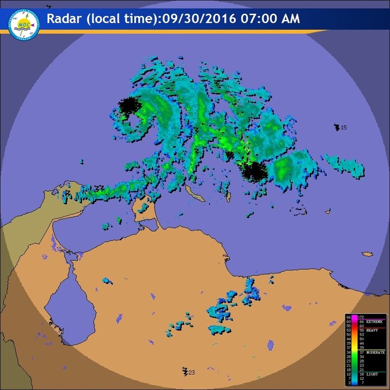
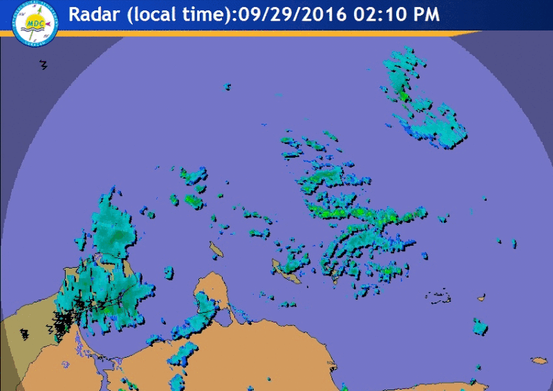
Visit the Caribbean-Central America Weather Thread where you can find at first post web cams,radars
and observations from Caribbean basin members Click Here
and observations from Caribbean basin members Click Here
-
tolakram
- Admin
- Posts: 20185
- Age: 62
- Joined: Sun Aug 27, 2006 8:23 pm
- Location: Florence, KY (name is Mark)
Re: ATL: MATTHEW - Hurricane - Discussion
000
URNT12 KNHC 301142
VORTEX DATA MESSAGE AL142016
A. 30/11:22:10Z
B. 13 deg 46 min N
070 deg 18 min W
C. 700 mb 2852 m
D. 92 kt
E. 057 deg 8 nm
F. 137 deg 93 kt
G. 050 deg 12 nm
H. 971 mb
I. 10 C / 3039 m
J. 18 C / 3048 m
K. 9 C / NA
L. OPEN SW
M. E24/22/14
N. 12345 / 7
O. 0.02 / 1 nm
P. AF306 0714A MATTHEW OB 03
MAX FL WIND 93 KT 050 / 12 NM 11:18:00Z
CNTR DROPSONDE SFC WIND 150 / 7 KT
;
0 likes
M a r k
- - - - -
Join us in chat: Storm2K Chatroom Invite. Android and IOS apps also available.
The posts in this forum are NOT official forecasts and should not be used as such. Posts are NOT endorsed by any professional institution or STORM2K.org. For official information and forecasts, please refer to NHC and NWS products.
- - - - -
Join us in chat: Storm2K Chatroom Invite. Android and IOS apps also available.
The posts in this forum are NOT official forecasts and should not be used as such. Posts are NOT endorsed by any professional institution or STORM2K.org. For official information and forecasts, please refer to NHC and NWS products.
Re: ATL: MATTHEW - Hurricane - Discussion
They go with 92 surface winds with dropsonde measuring a pressure of 971 mb.
URNT12 KNHC 301142
VORTEX DATA MESSAGE AL142016
A. 30/11:22:10Z
B. 13 deg 46 min N
070 deg 18 min W
C. 700 mb 2852 m
D. 92 kt
E. 057 deg 8 nm
F. 137 deg 93 kt
G. 050 deg 12 nm
H. 971 mb
I. 10 C / 3039 m
J. 18 C / 3048 m
K. 9 C / NA
L. OPEN SW
M. E24/22/14
N. 12345 / 7
O. 0.02 / 1 nm
P. AF306 0714A MATTHEW OB 03
MAX FL WIND 93 KT 050 / 12 NM 11:18:00Z
CNTR DROPSONDE SFC WIND 150 / 7 KT
0 likes
-
cycloneye
- Admin
- Posts: 149414
- Age: 69
- Joined: Thu Oct 10, 2002 10:54 am
- Location: San Juan, Puerto Rico
Re: ATL: MATTHEW - Hurricane - Discussion
...MATTHEW CONTINUING TO INTENSIFY OVER THE SOUTH-CENTRAL CARIBBEAN
SEA...
SUMMARY OF 800 AM AST...1200 UTC...INFORMATION
----------------------------------------------
LOCATION...13.8N 70.3W
ABOUT 130 MI...210 KM NE OF PUTNA GALLINAS COLOMBIA
ABOUT 520 MI...840 KM ESE OF KINGSTON JAMAICA
MAXIMUM SUSTAINED WINDS...105 MPH...165 KM/H
PRESENT MOVEMENT...WSW OR 255 DEGREES AT 14 MPH...22 KM/H
MINIMUM CENTRAL PRESSURE...971 MB...28.67 INCHES
0 likes
Visit the Caribbean-Central America Weather Thread where you can find at first post web cams,radars
and observations from Caribbean basin members Click Here
and observations from Caribbean basin members Click Here
-
tolakram
- Admin
- Posts: 20185
- Age: 62
- Joined: Sun Aug 27, 2006 8:23 pm
- Location: Florence, KY (name is Mark)
Re: ATL: MATTHEW - Hurricane - Discussion
It's made it pretty far south.

0 likes
M a r k
- - - - -
Join us in chat: Storm2K Chatroom Invite. Android and IOS apps also available.
The posts in this forum are NOT official forecasts and should not be used as such. Posts are NOT endorsed by any professional institution or STORM2K.org. For official information and forecasts, please refer to NHC and NWS products.
- - - - -
Join us in chat: Storm2K Chatroom Invite. Android and IOS apps also available.
The posts in this forum are NOT official forecasts and should not be used as such. Posts are NOT endorsed by any professional institution or STORM2K.org. For official information and forecasts, please refer to NHC and NWS products.
Who is online
Users browsing this forum: No registered users and 9 guests