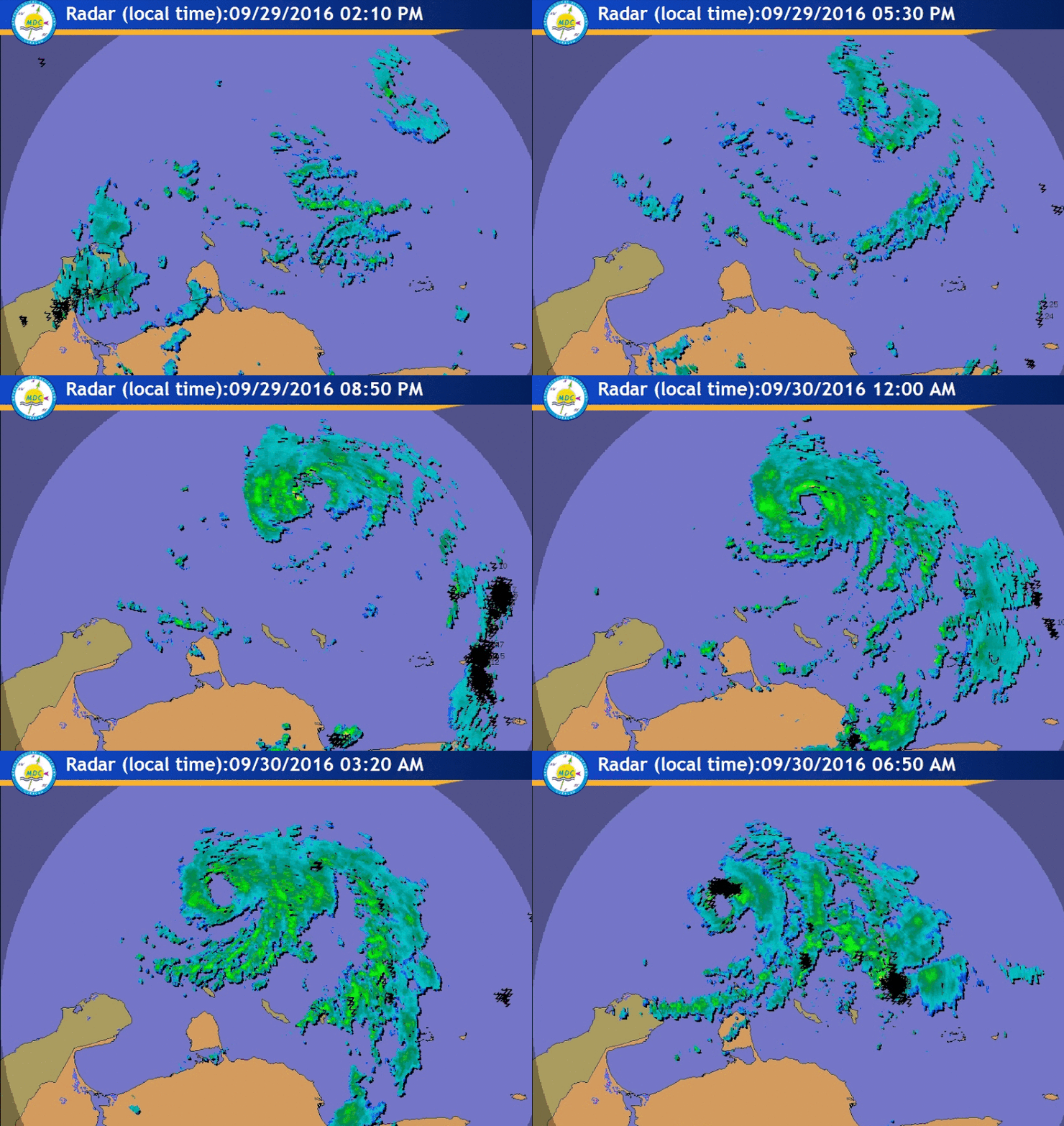
La Sirena wrote:JaxGator wrote:So in Joe B's outlook, there's the big ridge over the northeast and the trough in the Rockies. The ridge is strong enough to pull Matthew toward the coast but there is another trough coming in from the east. Complex pattern. Back to the now, Matthew is definitely strengthening and more south it looks like. Very impressive and deadly.
So, would the trough in the east pull it up the EC and/or OTS?
That's Joe's thinking but he also said it wasn't a done deal yet. The UKMET still has the trough weak and Matthew plowing into Florida. East Coast not in the clear yet but there is the chance for an escape route.


 ...but there's just nothing showing a likely scenario that involves a landfalling hurricane on the east coast. Every model run makes it more and more likely Matthew stays hundreds of miles to the east. And with Matthew's more southerly track, instead of more westerly track that he's taken this morning... I would assume that when the north movement begins, he won't be able to get as far west as earlier models. So I would think (not a forecast) that 12z models are more east?


