WPAC: HAIMA - Post-Tropical
Moderator: S2k Moderators

-
1900hurricane

- Category 5

- Posts: 6063
- Age: 34
- Joined: Fri Feb 06, 2015 12:04 pm
- Location: Houston, TX
- Contact:
Re: WPAC: HAIMA - Typhoon
Yeesh...

0 likes
Contract Meteorologist. TAMU & MSST. Fiercely authentic, one of a kind. We are all given free will, so choose a life meant to be lived. We are the Masters of our own Stories.
Opinions expressed are mine alone.
Follow me on Twitter at @1900hurricane : Read blogs at https://1900hurricane.wordpress.com/
Opinions expressed are mine alone.
Follow me on Twitter at @1900hurricane : Read blogs at https://1900hurricane.wordpress.com/
-
euro6208
Re: WPAC: HAIMA - Typhoon

WDPN32 PGTW 181500
MSGID/GENADMIN/JOINT TYPHOON WRNCEN PEARL HARBOR HI//
SUBJ/PROGNOSTIC REASONING FOR SUPER TYPHOON 25W (HAIMA) WARNING NR
16//
RMKS/
1. FOR METEOROLOGISTS.
2. 6 HOUR SUMMARY AND ANALYSIS.
SUPER TYPHOON (STY) 25W (HAIMA), LOCATED APPROXIMATELY 474 NM
EAST OF MANILA, PHILIPPINES, HAS TRACKED WESTWARD AT 15 KNOTS OVER
THE PAST SIX HOURS. STY 25W HAS RAPIDLY INTENSIFIED OVER THE PAST 24
HOURS FROM 115 KNOTS TO THE CURRENT INTENSITY OF 140 KNOTS. ANIMATED
ENHANCED INFRARED SATELLITE IMAGERY DEPICTS A 25-NM ROUND EYE, WHICH
PROVIDES EXCELLENT CONFIDENCE IN THE CURRENT POSITION AND RECENT
MOTION. THE INITIAL INTENSITY IS ASSESSED AT 140 KNOTS BASED ON
DVORAK INTENSITY ESTIMATES OF T7.0 FROM PGTW AND RJTD. UPPER-LEVEL
ANALYSIS SHOWS EXCELLENT RADIAL OUTFLOW WITH LOW VERTICAL WIND
SHEAR. SEA SURFACE TEMPERATURES ARE ALSO VERY FAVORABLE NEAR 29
CELSIUS. CURRENTLY STY HAIMA IS UNDER THE STEERING INFLUENCE OF A
DEEP LAYERED SUBTROPICAL RIDGE (STR) POSITIONED TO THE NORTH.
3. FORECAST REASONING.
A. NO CHANGE TO THE FORECAST PHILOSOPHY SINCE THE PREVIOUS
PROGNOSTIC REASONING BULLETIN.
B. STY HAIMA WILL CONTINUE TO TRACK GENERALLY WEST-NORTHWESTWARD
TO NORTHWESTWARD ALONG THE STR THROUGHOUT THE FORECAST PERIOD. HIGH
OCEAN HEAT CONTENT AND CONTINUED FAVORABLE CONDITIONS MAY ALLOW FOR
ADDITIONAL INTENSIFICATION OVER THE NEXT 12 HOURS TO A PEAK NEAR 145
KNOTS. BY TAU 24, HAIMA IS FORECAST TO CROSS OVER THE NORTHERN TIP
OF LUZON, WITH LAND INTERACTION LEADING TO ADDITIONAL WEAKENING
BEFORE EMERGING INTO THE SOUTH CHINA SEA (SCS). SLIGHTLY LESS
FAVORABLE CONDITIONS IN THE SCS WILL LEAD TO CONTINUED WEAKENING
THROUGHOUT THE PERIOD. BEYOND TAU 48, STY HAIMA WILL BEGIN TO ROUND
THE STR, TAKING A MORE NORTHERLY COURSE BEFORE MAKING LANDFALL EAST
OF HONG KONG.
C. BEYOND TAU 72 STY HAIMA WILL ROUND THE STR AXIS AND TURN TO
THE NORTHEAST. THE SYSTEM WILL DISSIPATE BY TAU 120. AVAILABLE MODEL
GUIDANCE SHOWS GOOD AGREEMENT THROUGHOUT THE FORECAST, LENDING HIGH
CONFIDENCE TO THE JTWC FORECAST TRACK.//
NNNN
0 likes
-
euro6208
Re: WPAC: HAIMA - Typhoon


Last edited by euro6208 on Tue Oct 18, 2016 12:27 pm, edited 1 time in total.
0 likes
-
1900hurricane
- Category 5
- Posts: 6063
- Age: 34
- Joined: Fri Feb 06, 2015 12:04 pm
- Location: Houston, TX
- Contact:
Re: WPAC: HAIMA - Typhoon
I really wish JMA would move the rapid scan floater off the wisp of cloud named Sarika and onto Haima.
0 likes
Contract Meteorologist. TAMU & MSST. Fiercely authentic, one of a kind. We are all given free will, so choose a life meant to be lived. We are the Masters of our own Stories.
Opinions expressed are mine alone.
Follow me on Twitter at @1900hurricane : Read blogs at https://1900hurricane.wordpress.com/
Opinions expressed are mine alone.
Follow me on Twitter at @1900hurricane : Read blogs at https://1900hurricane.wordpress.com/
-
euro6208
Re: WPAC: HAIMA - Typhoon
I'd say 150 to 170 knots now...RAW T is hovering at 7.4 or near 155 knots. Dvorak fails with systems like this.
0 likes
-
1900hurricane
- Category 5
- Posts: 6063
- Age: 34
- Joined: Fri Feb 06, 2015 12:04 pm
- Location: Houston, TX
- Contact:
Re: WPAC: HAIMA - Typhoon
Poleward outflow is still struggling some, but it's trying.

0 likes
Contract Meteorologist. TAMU & MSST. Fiercely authentic, one of a kind. We are all given free will, so choose a life meant to be lived. We are the Masters of our own Stories.
Opinions expressed are mine alone.
Follow me on Twitter at @1900hurricane : Read blogs at https://1900hurricane.wordpress.com/
Opinions expressed are mine alone.
Follow me on Twitter at @1900hurricane : Read blogs at https://1900hurricane.wordpress.com/

-
euro6208
Re: WPAC: HAIMA - Typhoon
Great Category 6 blog from Masters.
https://www.wunderground.com/blog/JeffMasters/super-typhoon-haima-takes-aim-on-philippines
https://www.wunderground.com/blog/JeffMasters/super-typhoon-haima-takes-aim-on-philippines
0 likes
-
mrbagyo

- Category 5
- Posts: 3963
- Age: 33
- Joined: Thu Apr 12, 2012 9:18 am
- Location: 14.13N 120.98E
- Contact:
Re: WPAC: HAIMA - Typhoon
I dont know what's on that part of Luzon ( Isabela-Cagayan) but Post El Nino October Supertyphoons kinda like making landfall there at cat 5 strength. It's becoming a trend.
ZEB - October 1998 - Palanan Isabela
MEGI - October 2010 - Divilacan /Palanan Isabela
HAIMA - October 2016 - ?
ZEB - October 1998 - Palanan Isabela
MEGI - October 2010 - Divilacan /Palanan Isabela
HAIMA - October 2016 - ?
0 likes
The posts in this forum are NOT official forecast and should not be used as such. They are just the opinion of the poster and may or may not be backed by sound meteorological data. They are NOT endorsed by any professional institution or storm2k.org. For official information, please refer to RSMC, NHC and NWS products.
Re: WPAC: HAIMA - Typhoon
JMA went with a T7.5/7.5 at 18Z. Looks a bit high to me since the eye temperature has only occasionally reached the WMG range. I would probably go with 145 knots at 18Z, consistent with SATCON values, based on a blend of subjective Dvorak and ADT estimates, as well as the AMSU algorithm. May be a bit conservative given the possible low bias of Dvorak estimates on storms with such a high intensity.
Last edited by NotoSans on Tue Oct 18, 2016 1:16 pm, edited 2 times in total.
0 likes
Personal Forecast Disclaimer:
The posts in this forum are NOT official forecast and should not be used as such. They are just the opinion of the poster and may or may not be backed by sound meteorological data. They are NOT endorsed by any professional institution or storm2k.org. For official information, please refer to RSMC and NWS products.
The posts in this forum are NOT official forecast and should not be used as such. They are just the opinion of the poster and may or may not be backed by sound meteorological data. They are NOT endorsed by any professional institution or storm2k.org. For official information, please refer to RSMC and NWS products.
-
euro6208
Re: WPAC: HAIMA - Typhoon
I still see some clouds in the eye. If it can manage to clear it out with continued cold tops, i see this reaching 8.0.
0 likes
Re: WPAC: HAIMA - Typhoon
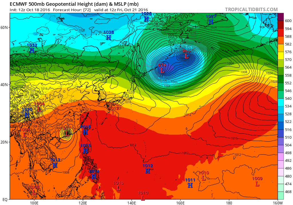
The latest Euro run seems to bring Haima directly over Hong Kong as a typhoon. 
0 likes
Personal Forecast Disclaimer:
The posts in this forum are NOT official forecast and should not be used as such. They are just the opinion of the poster and may or may not be backed by sound meteorological data. They are NOT endorsed by any professional institution or storm2k.org. For official information, please refer to RSMC and NWS products.
The posts in this forum are NOT official forecast and should not be used as such. They are just the opinion of the poster and may or may not be backed by sound meteorological data. They are NOT endorsed by any professional institution or storm2k.org. For official information, please refer to RSMC and NWS products.
-
mrbagyo
- Category 5
- Posts: 3963
- Age: 33
- Joined: Thu Apr 12, 2012 9:18 am
- Location: 14.13N 120.98E
- Contact:
Re: WPAC: HAIMA - Typhoon
NotoSans wrote:The latest Euro run seems to bring Haima directly over Hong Kong as a typhoon.
Euro's very consistent with that solution.
euro6208 wrote:I still see some clouds in the eye. If it can manage to clear it out with continued cold tops, i see this reaching 8.0.
Haima needs a more robust poleward outflow to clear it out.
0 likes
The posts in this forum are NOT official forecast and should not be used as such. They are just the opinion of the poster and may or may not be backed by sound meteorological data. They are NOT endorsed by any professional institution or storm2k.org. For official information, please refer to RSMC, NHC and NWS products.
Re: WPAC: HAIMA - Typhoon
0 likes
Personal Forecast Disclaimer:
The posts in this forum are NOT official forecast and should not be used as such. They are just the opinion of the poster and may or may not be backed by sound meteorological data. They are NOT endorsed by any professional institution or storm2k.org. For official information, please refer to RSMC and NWS products.
The posts in this forum are NOT official forecast and should not be used as such. They are just the opinion of the poster and may or may not be backed by sound meteorological data. They are NOT endorsed by any professional institution or storm2k.org. For official information, please refer to RSMC and NWS products.
-
1900hurricane
- Category 5
- Posts: 6063
- Age: 34
- Joined: Fri Feb 06, 2015 12:04 pm
- Location: Houston, TX
- Contact:
Re: WPAC: HAIMA - Typhoon
VIIRS nighttime visible pass from not too long ago:

0 likes
Contract Meteorologist. TAMU & MSST. Fiercely authentic, one of a kind. We are all given free will, so choose a life meant to be lived. We are the Masters of our own Stories.
Opinions expressed are mine alone.
Follow me on Twitter at @1900hurricane : Read blogs at https://1900hurricane.wordpress.com/
Opinions expressed are mine alone.
Follow me on Twitter at @1900hurricane : Read blogs at https://1900hurricane.wordpress.com/
-
euro6208
Re: WPAC: HAIMA - Typhoon
25W HAIMA 161018 1800 16.0N 127.5E WPAC 140 913
Remains at only 140 knots...
Remains at only 140 knots...
0 likes
Re: WPAC: HAIMA - Typhoon
Up to 115 knots / 900 hPa from the JMA, consistent with their Dvorak estimates.
0 likes
Personal Forecast Disclaimer:
The posts in this forum are NOT official forecast and should not be used as such. They are just the opinion of the poster and may or may not be backed by sound meteorological data. They are NOT endorsed by any professional institution or storm2k.org. For official information, please refer to RSMC and NWS products.
The posts in this forum are NOT official forecast and should not be used as such. They are just the opinion of the poster and may or may not be backed by sound meteorological data. They are NOT endorsed by any professional institution or storm2k.org. For official information, please refer to RSMC and NWS products.
-
wxmann_91

- Category 5
- Posts: 8007
- Age: 34
- Joined: Fri Jul 15, 2005 2:49 pm
- Location: Southern California
- Contact:
Re: WPAC: HAIMA - Typhoon
Eye is trying to clear out but I don't think it will have enough time before landfall in the Philippines. The restriction of poleward outflow is preventing it from reaching a higher-end Cat 5.
0 likes
-
1900hurricane
- Category 5
- Posts: 6063
- Age: 34
- Joined: Fri Feb 06, 2015 12:04 pm
- Location: Houston, TX
- Contact:
Re: WPAC: HAIMA - Typhoon
Already?

0 likes
Contract Meteorologist. TAMU & MSST. Fiercely authentic, one of a kind. We are all given free will, so choose a life meant to be lived. We are the Masters of our own Stories.
Opinions expressed are mine alone.
Follow me on Twitter at @1900hurricane : Read blogs at https://1900hurricane.wordpress.com/
Opinions expressed are mine alone.
Follow me on Twitter at @1900hurricane : Read blogs at https://1900hurricane.wordpress.com/
Who is online
Users browsing this forum: No registered users and 130 guests