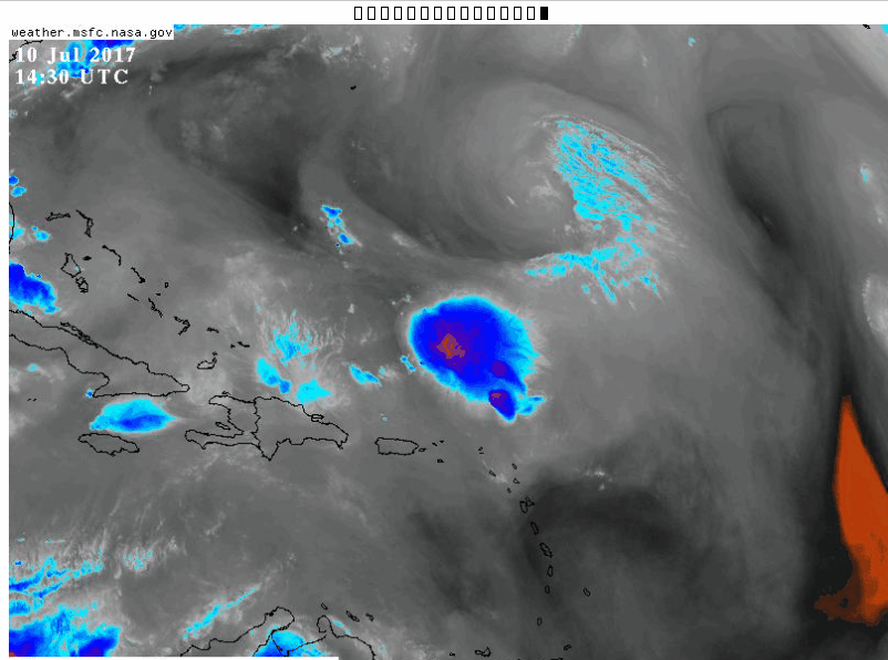
There are definitely arc clouds emanating away from the TC to the NW. Nonetheless, I see low-level inflow from the SW toward the convective mass (confirmed by buoy reports), which should help sustain convection. Since any potential low-level circulation is quite weak, I think it's possible the previous vort max to the NW of the convection slowly erodes while a new circulation forms closer to the convection, along the convergence axis seen from the aforementioned SW inflow. The development of a dominant surface center farther SE would benefit the disturbance in two ways:
1) Less vertical tilt between a mid- and low-level center.
2) Regions farther south are located in weaker vertical wind shear.
Just something to keep an eye on as we go forward. I'm not saying I expect genesis, but it's definitely greater than 0%