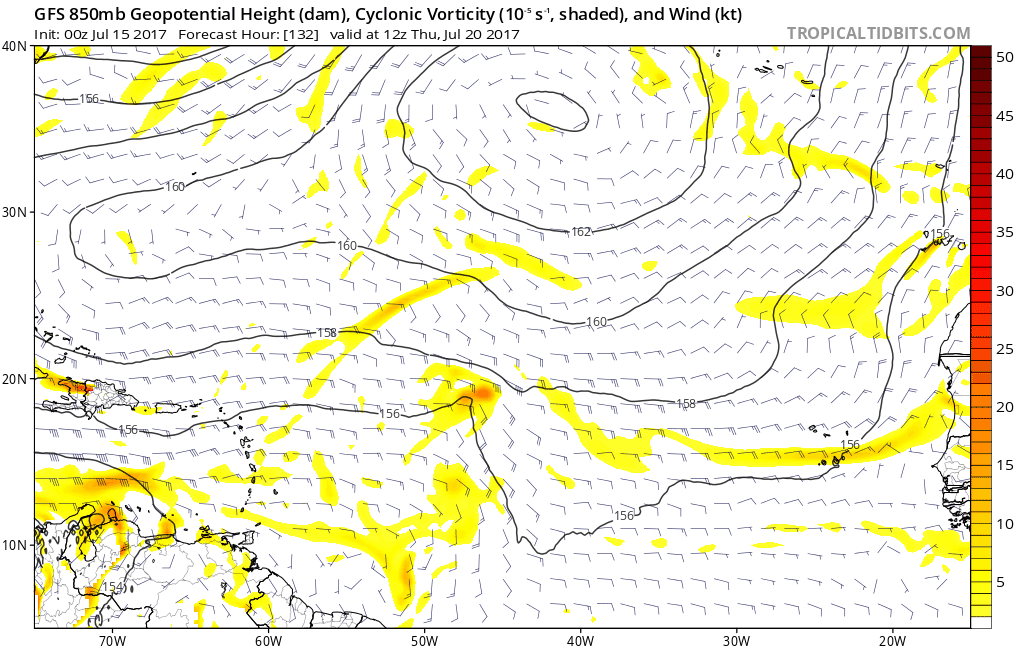
Some models hint on some development on this area located in the monsoon trough.Let's see what happens down the road.
Moderator: S2k Moderators


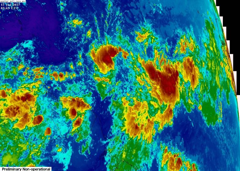
Hammy wrote:That is a massive amount of convection--and aren't we in the suppressive phase of the MJO?


Hammy wrote:That is a massive amount of convection--and aren't we in the suppressive phase of the MJO?


Hammy wrote:That is a massive amount of convection--and aren't we in the suppressive phase of the MJO?
Aric Dunn wrote:not sure why more people are not paying attention this.. not sure if people realize how large this system would become.. lol
AutoPenalti wrote:Aric Dunn wrote:not sure why more people are not paying attention this.. not sure if people realize how large this system would become.. lol
Most likely because it's still relatively new, and/or this really is not going to develop since it's about to hit the wall of shear in about a couple of days.
Users browsing this forum: AnnularCane, bird, Google [Bot], jconsor, Yellow Evan and 61 guests