ATL: IRMA - Post-Tropical - Discussion

Moderator: S2k Moderators

Message
Author
User avatar
GCANE
S2K Supporter
S2K Supporter
Posts: 11496
Joined: Mon Oct 22, 2007 8:03 am

Re: ATL: IRMA - Hurricane - Discussion

#6341 Postby GCANE » Thu Sep 07, 2017 5:57 am

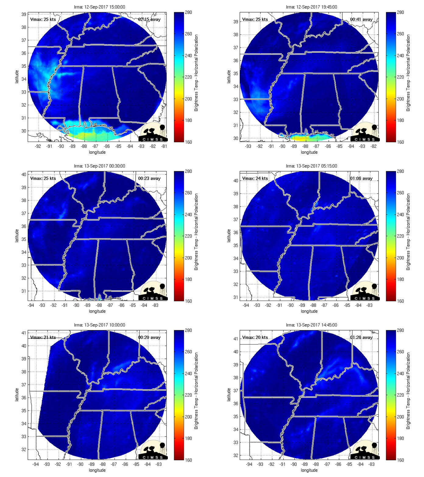
Last night's Recon showed the onset of a EWRC.
Looks like now, a larger eyewall maybe developing.
Image
1 likes   

shawn6304
Tropical Low
Tropical Low
Posts: 39
Joined: Tue Oct 04, 2016 2:14 pm
Location: Deerfield Beach Florida

Re: ATL: IRMA - Hurricane - Discussion

#6342 Postby shawn6304 » Thu Sep 07, 2017 5:58 am

ObsessedMiami wrote:
shawn6304 wrote:NBC 6 shows 3 models

In house model - complete miss to the east

NAM - light winds with closer miss to the east

GFS - with latest 0z run,

If it was not for this site and just watching that news report I would not evacuate so I now see what other's have been saying about confusing reporting.


How does a tv station have an "in house" model?


I don't know but they sure like to tout it , 180 miles east going over the bahamas, they did later mention a possible "middle track" but never even mentioned the NHC or their track.

Very odd, I have changed to another channel now.
Last edited by shawn6304 on Thu Sep 07, 2017 5:59 am, edited 1 time in total.
0 likes   

Michele B
S2K Supporter
S2K Supporter
Posts: 1114
Joined: Thu Aug 25, 2016 8:08 am
Location: SWFL

Re: ATL: IRMA - Hurricane - Discussion

#6343 Postby Michele B » Thu Sep 07, 2017 5:58 am

Irma has picked up forward speed a little. Now moving at 17 mpg. That will definitely influence how soon she can be influenced by the ridges, and in what way.
0 likes   
Cleo - 1964, Betsy - 1965, David - 1979, Andrew - 1992, Charlie (Francis, Ivan, Jeanne) - 2004, Irma - 2017, Ian - 2022

Sciencerocks
Category 5
Category 5
Posts: 9155
Age: 39
Joined: Thu Jul 06, 2017 1:51 am

Re: ATL: IRMA - Main Recon Thread (Data only)

#6344 Postby Sciencerocks » Thu Sep 07, 2017 5:58 am

104630 1854N 06744W 6974 03127 0023 +099 +080 214046 047 042 001 00
104700 1855N 06745W 6966 03132 0026 +095 +083 215047 048 043 000 00
104730 1856N 06747W 6973 03127 0023 +095 +087 214048 049 042 001 00
104800 1858N 06748W 6967 03128 0021 +094 +088 217048 049 043 001 00
104830 1859N 06749W 6969 03129 0021 +093 +083 221048 049 044 001 00
104900 1900N 06750W 6966 03128 0011 +098 +079 222049 050 044 001 00
104930 1901N 06752W 6965 03125 0006 +099 +083 225050 052 046 002 00
105000 1903N 06753W 6970 03114 0002 +099 +086 223052 053 047 001 00
105030 1904N 06754W 6963 03120 0021 +100 //// 218050 054 048 011 01
105100 1905N 06756W 6966 03116 0028 +105 //// 227054 056 049 010 01
105130 1907N 06757W 6967 03107 0000 +097 //// 221053 056 051 004 01
105200 1908N 06758W 6969 03104 0005 +099 //// 215053 054 054 006 01
105230 1909N 06800W 6962 03110 0014 +092 +092 215055 057 057 008 00
105300 1910N 06801W 6969 03097 0014 +102 +102 220055 061 055 018 03
105330 1912N 06802W 6967 03099 9998 +111 +111 225052 054 061 012 00
0 likes   

User avatar
NDG
S2K Supporter
S2K Supporter
Posts: 15446
Joined: Sun Jul 09, 2006 10:14 pm
Location: Orlando, FL

Re: ATL: IRMA - Hurricane - Discussion

#6345 Postby NDG » Thu Sep 07, 2017 5:58 am

Morning visible shot of Irma.

Image
0 likes   

User avatar
NDG
S2K Supporter
S2K Supporter
Posts: 15446
Joined: Sun Jul 09, 2006 10:14 pm
Location: Orlando, FL

Re: ATL: IRMA - Hurricane - Discussion

#6346 Postby NDG » Thu Sep 07, 2017 6:00 am

Michele B wrote:Irma has picked up forward speed a little. Now moving at 17 mpg. That will definitely influence how soon she can be influenced by the ridges, and in what way.


The faster Irma tracks today and tomorrow the further west it will be before making the turn north, it cannot turn right now because the ridge is to its north.
0 likes   

Michele B
S2K Supporter
S2K Supporter
Posts: 1114
Joined: Thu Aug 25, 2016 8:08 am
Location: SWFL

Re: ATL: IRMA - Hurricane - Discussion

#6347 Postby Michele B » Thu Sep 07, 2017 6:01 am

ObsessedMiami wrote:
shawn6304 wrote:NBC 6 shows 3 models

In house model - complete miss to the east

NAM - light winds with closer miss to the east

GFS - with latest 0z run,

If it was not for this site and just watching that news report I would not evacuate so I now see what other's have been saying about confusing reporting.


How does a tv station have an "in house" model?


You need to add: "...that is so OFF from the expert models?"
0 likes   
Cleo - 1964, Betsy - 1965, David - 1979, Andrew - 1992, Charlie (Francis, Ivan, Jeanne) - 2004, Irma - 2017, Ian - 2022

User avatar
GCANE
S2K Supporter
S2K Supporter
Posts: 11496
Joined: Mon Oct 22, 2007 8:03 am

Re: ATL: IRMA - Hurricane - Discussion

#6348 Postby GCANE » Thu Sep 07, 2017 6:03 am

Passing close to the mountains of Hispaniola will likely impeded some of the inflow of low-level warm moist air which fuels Irma.
Can see this on MIMIC-TPW.
Also, some mid-level dry air may knock Irma down an notch for a day or so.

Image

Image
0 likes   

Sciencerocks
Category 5
Category 5
Posts: 9155
Age: 39
Joined: Thu Jul 06, 2017 1:51 am

Re: ATL: IRMA - Main Recon Thread (Data only)

#6349 Postby Sciencerocks » Thu Sep 07, 2017 6:05 am

000
URNT15 KNHC 071103
AF305 1711A IRMA HDOB 13 20170907
105400 1913N 06804W 6961 03106 9987 +109 +109 225050 053 057 007 00
105430 1914N 06805W 6967 03090 9984 +111 +111 225053 054 059 007 00
105500 1915N 06806W 6966 03085 9985 +114 +114 227059 061 058 013 03
105530 1917N 06807W 6973 03074 9979 +115 +115 227056 059 060 011 03
105600 1918N 06809W 6967 03079 9963 +115 +115 231057 059 062 007 00
105630 1919N 06810W 6966 03076 9961 +114 +114 234062 064 062 008 00
105700 1920N 06811W 6967 03068 9950 +115 +115 238064 065 061 009 00
105730 1921N 06812W 6969 03058 9935 +116 +116 239063 065 064 009 00
105800 1922N 06814W 6963 03051 9929 +113 +113 236065 067 063 010 00
105830 1924N 06815W 6969 03036 9918 +112 +112 235068 070 065 010 00
105900 1925N 06816W 6966 03037 9893 +110 +109 235071 072 065 009 00
105930 1927N 06817W 6963 03033 9886 +111 +109 232071 073 066 007 00
110000 1928N 06818W 6969 03016 9901 +114 +114 231071 073 066 010 00
110030 1930N 06819W 6963 03016 9899 +114 +114 230074 076 067 018 03
110100 1931N 06820W 6971 02998 9889 +116 +116 229069 075 071 021 03
110130 1932N 06821W 6970 02992 9876 +123 +123 230066 071 /// /// 03
110200 1934N 06822W 6962 03001 9861 +118 +118 225068 069 070 014 00
110230 1935N 06823W 6967 02988 9852 +114 +114 224074 077 064 011 00
110300 1937N 06824W 6968 02973 9843 +112 +112 221076 077 066 007 00
110330 1939N 06825W 6967 02961 9820 +112 +112 218077 079 068 008 00
$$
;
0 likes   

JPmia
S2K Supporter
S2K Supporter
Posts: 1070
Joined: Thu Jun 03, 2004 11:01 pm
Location: Fort Lauderdale, FL

Re: ATL: IRMA - Hurricane - Discussion

#6350 Postby JPmia » Thu Sep 07, 2017 6:06 am

chris_fit wrote:
JPmia wrote:
chris_fit wrote:

What do the different zones mean? I see the legend but it doesn't list any info - awfully thought out site without this critical info being easily accessible


Do you have a particular location you want to know about because each County has their own zones and colors.


Yes - 126th Ave E, Parrish, FL, 34219, USA - I Think it's zone CD - but what does that mean?


PM me and I'll look it up later. On my phone at the moment.
0 likes   

Michele B
S2K Supporter
S2K Supporter
Posts: 1114
Joined: Thu Aug 25, 2016 8:08 am
Location: SWFL

Re: ATL: IRMA - Hurricane - Discussion

#6351 Postby Michele B » Thu Sep 07, 2017 6:07 am

NDG wrote:
Michele B wrote:Irma has picked up forward speed a little. Now moving at 17 mpg. That will definitely influence how soon she can be influenced by the ridges, and in what way.


The faster Irma tracks today and tomorrow the further west it will be before making the turn north, it cannot turn right now because the ridge is to its north.


That's what I was afraid of...
0 likes   
Cleo - 1964, Betsy - 1965, David - 1979, Andrew - 1992, Charlie (Francis, Ivan, Jeanne) - 2004, Irma - 2017, Ian - 2022

Kat5
Tropical Storm
Tropical Storm
Posts: 178
Joined: Tue Jul 07, 2009 5:28 pm

Re: ATL: IRMA - Hurricane - Discussion

#6352 Postby Kat5 » Thu Sep 07, 2017 6:07 am

Michele B wrote:Irma has picked up forward speed a little. Now moving at 17 mpg. That will definitely influence how soon she can be influenced by the ridges, and in what way.


She won't be able to find a place to refill in Florida by the time (if) it landfalls.

I wouldn't be surprised for hurricane watches to be up next advisory.
2 likes   

User avatar
GCANE
S2K Supporter
S2K Supporter
Posts: 11496
Joined: Mon Oct 22, 2007 8:03 am

Re: ATL: IRMA - Hurricane - Discussion

#6353 Postby GCANE » Thu Sep 07, 2017 6:09 am

Irma may intensify on approach to FL.
Going to get a sudden jolt of mid-level moist air.
Also, it may connect TPW from its tail into the Carib thru Haiti and the water between Hispaniola and Cuba.
Perfect ULL conditions to stretch out the vort column vertically.
Land interaction with FL will be key then.
CIN, CAPE, Theta-E, etc all will come in as factors.
But, at this point sub 900mb could be likely.

Image

Image

Image
0 likes   

Michele B
S2K Supporter
S2K Supporter
Posts: 1114
Joined: Thu Aug 25, 2016 8:08 am
Location: SWFL

Re: ATL: IRMA - Hurricane - Discussion

#6354 Postby Michele B » Thu Sep 07, 2017 6:10 am

shawn6304 wrote:
ObsessedMiami wrote:
shawn6304 wrote:NBC 6 shows 3 models

In house model - complete miss to the east

NAM - light winds with closer miss to the east

GFS - with latest 0z run,

If it was not for this site and just watching that news report I would not evacuate so I now see what other's have been saying about confusing reporting.


How does a tv station have an "in house" model?


I don't know but they sure like to tout it , 180 miles east going over the bahamas, they did later mention a possible "middle track" but never even mentioned the NHC or their track.

Very odd, I have changed to another channel now.


Years ago, a local station we Watched was using what was "experimental" computer modeling software" - called VIPIR. It was very good, but then we moved away and I've not found another station near us using it.
0 likes   
Cleo - 1964, Betsy - 1965, David - 1979, Andrew - 1992, Charlie (Francis, Ivan, Jeanne) - 2004, Irma - 2017, Ian - 2022

xironman
S2K Supporter
S2K Supporter
Posts: 2522
Joined: Sun Jun 10, 2007 4:53 pm
Location: NoVA

Re: ATL: IRMA - Hurricane - Discussion

#6355 Postby xironman » Thu Sep 07, 2017 6:14 am

ronjon wrote:
shawn6304 wrote:NBC 6 shows 3 models

In house model - complete miss to the east

NAM - light winds with closer miss to the east

GFS - with latest 0z run,

If it was not for this site and just watching that news report I would not evacuate so I now see what other's have been saying about confusing reporting.


Boy that borders on malpractice or perhaps sheer incompetence. No excuse for misleading people like that!


Hopefully they stress the cone put out by the NHC. Any model is a computational artifact that requires interpretation.
1 likes   

User avatar
Nimbus
Category 5
Category 5
Posts: 5300
Joined: Mon Jul 19, 2004 10:54 am

Re: ATL: IRMA - Hurricane - Discussion

#6356 Postby Nimbus » Thu Sep 07, 2017 6:14 am

JPmia wrote:
chris_fit wrote:
JPmia wrote:
Do you have a particular location you want to know about because each County has their own zones and colors.


Yes - 126th Ave E, Parrish, FL, 34219, USA - I Think it's zone CD - but what does that mean?


PM me and I'll look it up later. On my phone at the moment.


That particular area is very high risk with SW Florida coastal flood surge.
Very little west Florida coast flood surge threat with the current official track.
Some higher tides expected from tropical storm force winds might occur though.
Last edited by Nimbus on Thu Sep 07, 2017 6:16 am, edited 1 time in total.
1 likes   

User avatar
GCANE
S2K Supporter
S2K Supporter
Posts: 11496
Joined: Mon Oct 22, 2007 8:03 am

Re: ATL: IRMA - Hurricane - Discussion

#6357 Postby GCANE » Thu Sep 07, 2017 6:15 am

Core a bit weaker than yesterday

Image
2 likes   

Sciencerocks
Category 5
Category 5
Posts: 9155
Age: 39
Joined: Thu Jul 06, 2017 1:51 am

Re: ATL: IRMA - Main Recon Thread (Data only)

#6358 Postby Sciencerocks » Thu Sep 07, 2017 6:16 am

000
URNT15 KNHC 071113
AF305 1711A IRMA HDOB 14 20170907
110400 1940N 06826W 6965 02955 9812 +116 +116 220081 082 070 008 00
110430 1942N 06827W 6965 02938 9797 +120 +120 222084 085 074 008 00
110500 1943N 06828W 6967 02917 9757 +120 +119 224087 088 076 007 00
110530 1945N 06829W 6966 02902 9724 +125 +112 225092 093 079 006 00
110600 1946N 06830W 6971 02870 9697 +129 +116 226098 101 083 005 00
110630 1948N 06831W 6963 02855 9669 +129 +111 225105 107 087 004 00
110700 1949N 06833W 6965 02822 9632 +131 +115 224111 112 095 002 00
110730 1951N 06834W 6963 02787 9604 +123 +118 223115 116 098 002 00
110800 1952N 06835W 6970 02742 9550 +127 +114 223117 118 106 000 03
110830 1953N 06836W 6964 02704 9488 +139 +123 222121 123 106 000 03
110900 1955N 06837W 6967 02648 9426 +153 +119 222126 128 /// /// 03
110930 1956N 06838W 6961 02596 9366 +151 +141 222120 124 109 000 03
111000 1958N 06839W 6970 02527 9300 +156 +149 217107 119 100 000 00
111030 1959N 06840W 6961 02500 9234 +178 +141 211071 099 091 001 03
111100 2000N 06842W 6965 02458 9206 +182 +134 213044 058 068 002 03
111130 2001N 06843W 6967 02451 9204 +171 +139 211024 036 044 001 00
111200 2002N 06845W 6964 02446 9208 +157 +155 202013 019 038 001 05
111230 2002N 06847W 6965 02442 9201 +158 +152 199005 010 025 001 01
111300 2003N 06849W 6964 02447 9206 +156 +153 354007 009 026 001 01
111330 2003N 06851W 6971 02441 9198 +163 +143 355014 017 025 001 05
$$
;
0 likes   

User avatar
NDG
S2K Supporter
S2K Supporter
Posts: 15446
Joined: Sun Jul 09, 2006 10:14 pm
Location: Orlando, FL

Re: ATL: IRMA - Hurricane - Discussion

#6359 Postby NDG » Thu Sep 07, 2017 6:17 am

Lowest extrap pressure recon has found so far, it just penetrated the eye.

111330 2003N 06851W 6971 02441 9198 +163 +143 355014 017 025 001 05
0 likes   

User avatar
USCG_Hurricane_Watcher
S2K Supporter
S2K Supporter
Posts: 268
Joined: Wed Sep 01, 2004 6:08 am
Location: Youngsville, LA & Apra Harbor, Guam
Contact:

Re: ATL: IRMA - Hurricane - Discussion

#6360 Postby USCG_Hurricane_Watcher » Thu Sep 07, 2017 6:17 am

Good morning - Looking for a reliable source of info regarding inland impacts @ landfall +1/+2 days...need to make a decision about moving 34 boats. If anyone has any recommended sources, PM me. Thanks!
0 likes   


Return to “2017”

Who is online

Users browsing this forum: No registered users and 3 guests