The posts in this forum are NOT official forecast and should not be used as such. They are just the opinion of the poster and may or may not be backed by sound meteorological data. They are NOT endorsed by any professional institution or


Tireman4 wrote:
I am not Wxman 57...lol..but it means there is not a warm layer between when the precipitation starts as snow and when it ends up on the surface. With a warm nose, you get..snow...falling..then melting ( warm nose) and then refreezing...nearer the surface. That usually ends up being sleet or in some cases...freezing rain if it freezing up to 1000 feet.
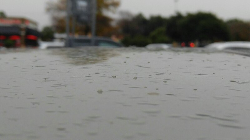
Correct. Sleet occurs when precipitation encounters an above-freezing layer on its way down, followed by a layer of sub-freezing air. The rain freezes into sleet pellets and that's what we see at the surface. Without that warm layer (warm nose, because it looks like a nose on the sounding), the precip starts as snow and remains snow all the way down. That's what the Houston sounding indicates. The main question now is how deep will the surface above-freezing layer be. Currently, this above-freezing layer near the surface is about 2500 ft thick. Snow will start to melt as it encounters this above-freezing layer. A thick enough layer will result in all the snow melting before it reaches the ground. A little thinner and the snow partially melts before reaching the ground. This would result in snow pellets (rather than flakes). However, if the freezing level drops, as models are predicting, then the snow would reach the ground tonight. Surface temperatures would be above freezing, but the snow could accumulate on chilled surfaces, like cars. Streets would remain too warm.


 Hopefully it snows until at least 9AM! Laredo is 35 and Hebbronville 37 and raining, looks like the heavier rain is indeed mixing down the cold air aloft.