Moderator: S2k Moderators


TheStormExpert wrote:Is shear from the outflow of Carlotta the reason this won't be able to develop further? Just curious.


NDG wrote:TheStormExpert wrote:Is shear from the outflow of Carlotta the reason this won't be able to develop further? Just curious.
Not so much the outflow of Carlotta, there has been a pesky upper level low over the GOM the past few days which is what actually helped flare up this area of disturbed wx initially in the Caribbean, but the surface trough has moved fast towards the ULL, currently under neath it which is not the best set up for tropical development.
But if it can hang around near the TX coast over the next couple of days or maybe if some piece of energy left over from Carlotta moves north, models forecast better upper level conditions by then. But if it moves inland forget about it.

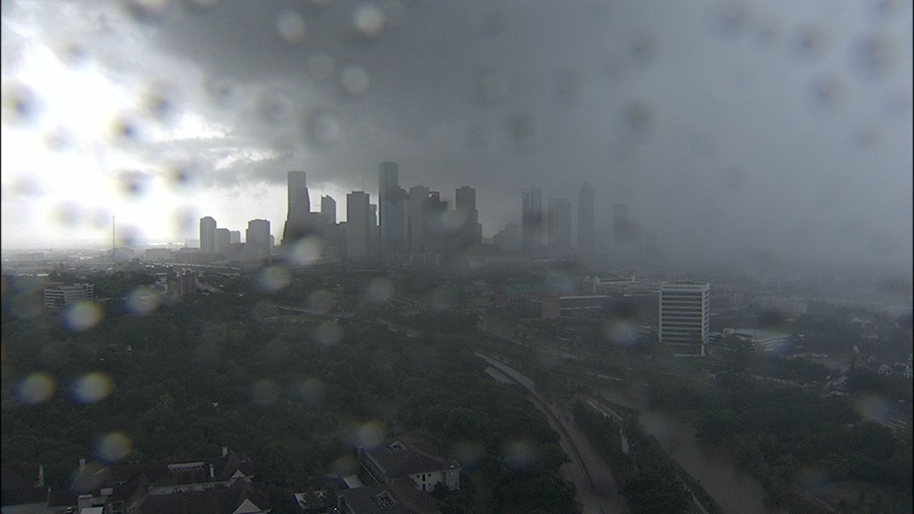
wxman57 wrote:Yep, nothing there. No circulation developing, just rain moving ashore later today. Looks like we have enough time for a long (4.5hr) bike ride this morning.
drezee wrote:wxman57 wrote:Yep, nothing there. No circulation developing, just rain moving ashore later today. Looks like we have enough time for a long (4.5hr) bike ride this morning.
I'd bet you a coke that a quick LLC closed off right around port Arthur in less than 12 hours. I will record the observations.
drezee wrote:drezee wrote:wxman57 wrote:Yep, nothing there. No circulation developing, just rain moving ashore later today. Looks like we have enough time for a long (4.5hr) bike ride this morning.
I'd bet you a coke that a quick LLC closed off right around port Arthur in less than 12 hours. I will record the observations.
Have to find a wind SW at least 240 degrees to be fair
TheStormExpert wrote:NDG wrote:TheStormExpert wrote:Is shear from the outflow of Carlotta the reason this won't be able to develop further? Just curious.
Not so much the outflow of Carlotta, there has been a pesky upper level low over the GOM the past few days which is what actually helped flare up this area of disturbed wx initially in the Caribbean, but the surface trough has moved fast towards the ULL, currently under neath it which is not the best set up for tropical development.
But if it can hang around near the TX coast over the next couple of days or maybe if some piece of energy left over from Carlotta moves north, models forecast better upper level conditions by then. But if it moves inland forget about it.
What the Euro shows just doesn't make sense, strengthens the low over NE Mexico.


wxman57 wrote:drezee wrote:drezee wrote:I'd bet you a coke that a quick LLC closed off right around port Arthur in less than 12 hours. I will record the observations.
Have to find a wind SW at least 240 degrees to be fair
Nope - that could be a thunderstorm outflow. Has to be analyzed on the surface map.
ForexTidbits wrote:Incredible convection firing in the Gulf of Mexico.
https://pbs.twimg.com/media/Df5mkzOXUAEiOzC.jpg
Users browsing this forum: Ulf and 105 guests