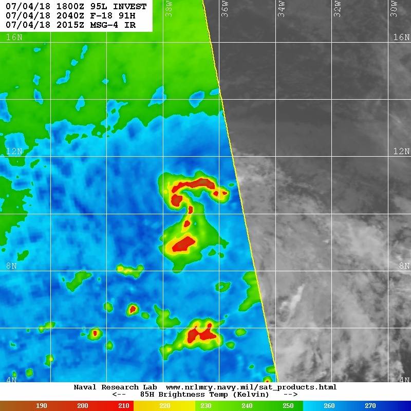
Aric Dunn wrote:Though it might be the new ascat pass that pushed them to issue the special outlook.. showing a closed circulation now.
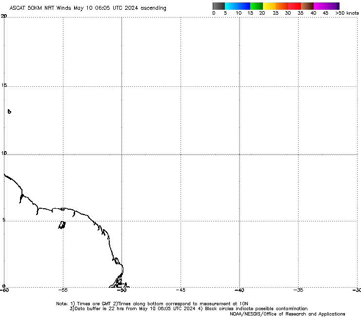
That's not a new pass - that pass is from last night. The time stamp at the bottom is when the pass is from, not the time stamps on the top