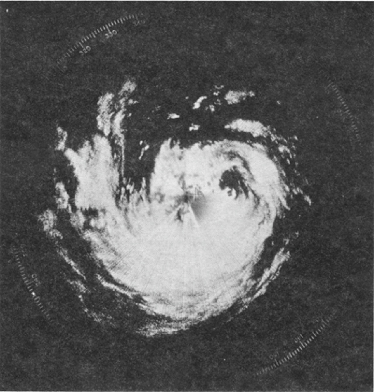
The typhoon had maintained a concentric eyewall structure before making landfall, as shown in the radar imagery below.
Moderator: S2k Moderators


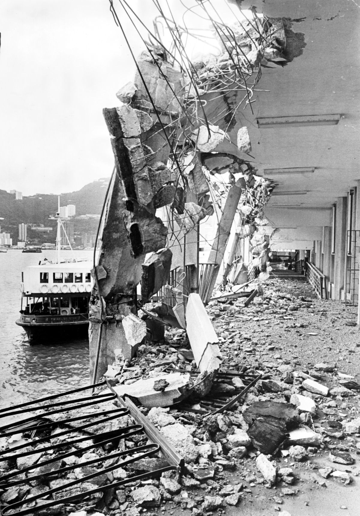
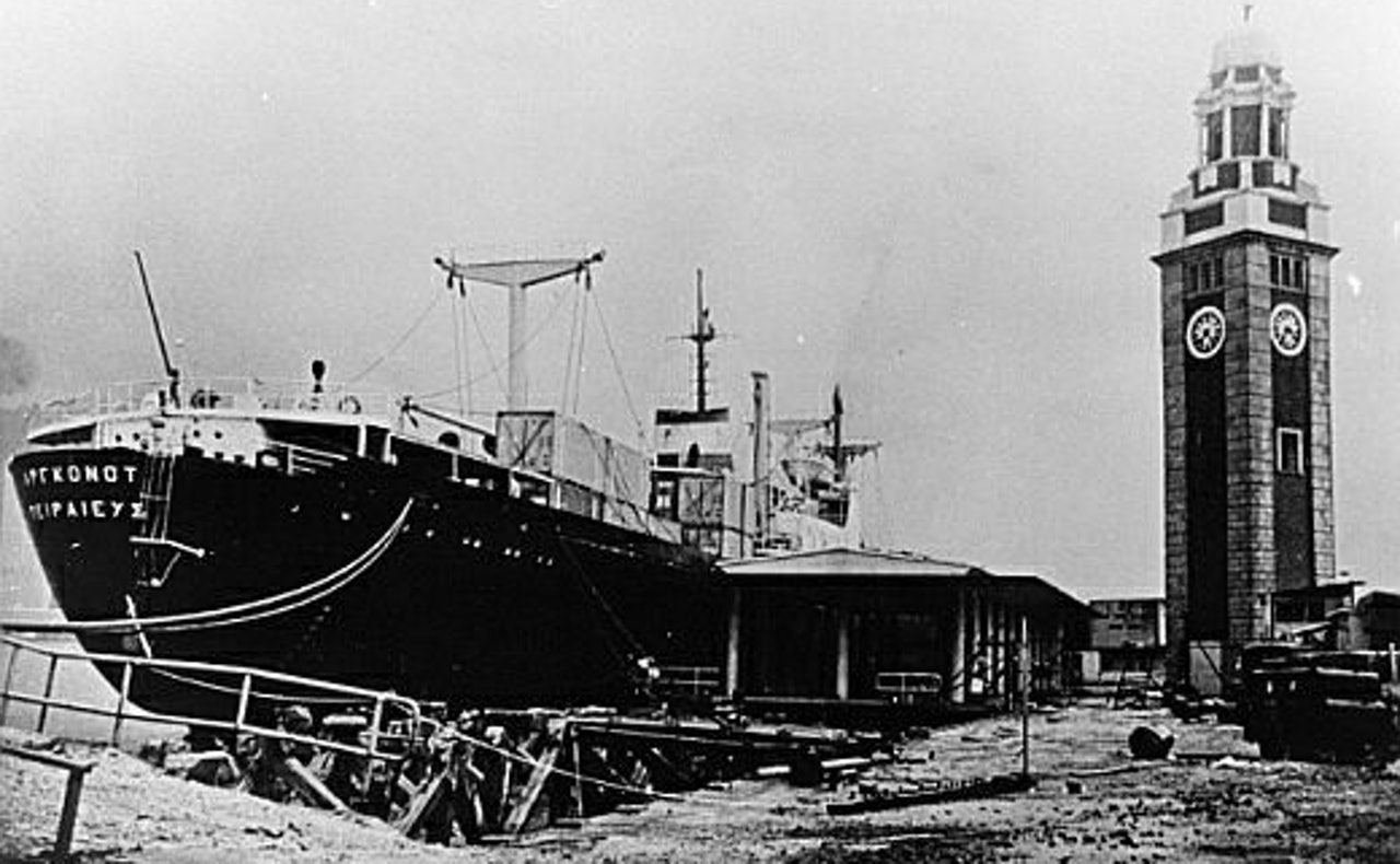
NotoSans wrote:39 years ago, the center of Typhoon Hope made landfall over the northeastern part of Hong Kong. It's one of the most severe typhoons affecting the region, and below are some photos showing the damages brought by this monster.
[ig]http://multimedia.scmp.com/typhoons/img/1/hope_1.1200.jpg[/img]
[mg]https://cdn.hk01.com/di/media/images/171861/org/8aa3f0cd6a02a08c61f2ac1e567fdca5.jpg/3yNUJCLndZxXncr7O12gg02Crp8_7je2_xF4TP8ReEw?v=w1280[/img]
The typhoon had maintained a concentric eyewall structure before making landfall, as shown in the radar imagery below.
[ig]https://cdn.hk01.com/di/media/images/171865/org/5d2cea868f6405900075e44f0170c40a.png/nKiIcCaJEOpUu57UfoUBTkfT7dc9zmAJDaVBnA2lQZw?v=w1280[/img]


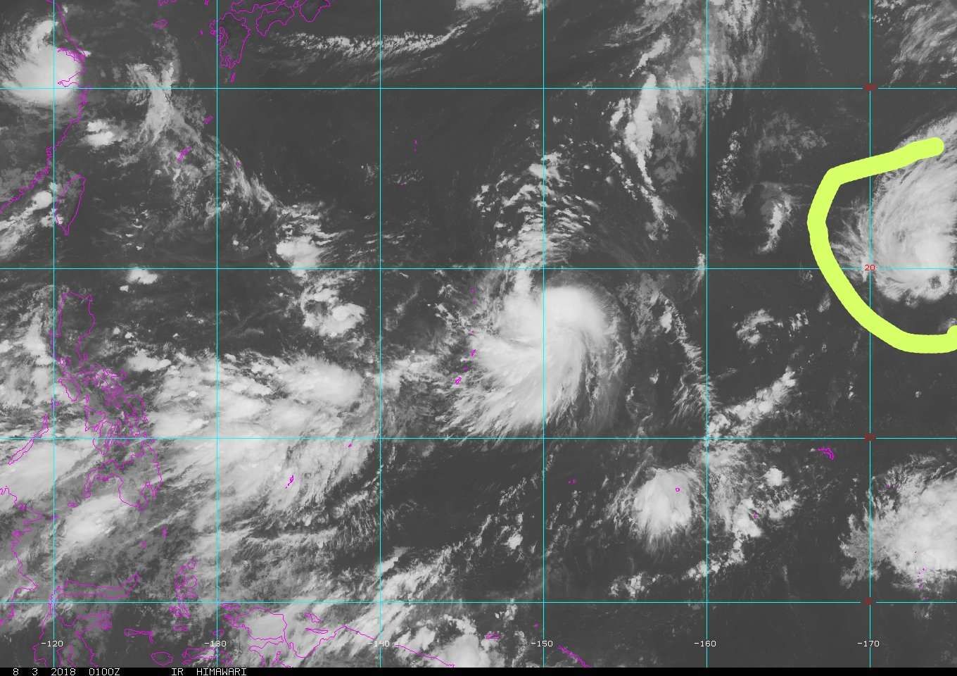
A surface trough east of Wake Island and in the extreme western portion of the Central Pacific basin is producing a large area of showers and thunderstorms [this area is not an invest area at this time]. An area of low pressure is expected to form along this trough as it crosses the International Date Line and enters the Western Pacific basin (see attached 48 hour forecast from the U.S. Ocean Prediction Center, with the area circled in orange), with most of the global models intensifying it to gale force by late Friday.
Conditions are expected to be conducive for some development of this system as it moves north-northwestward over the eastern portion of the basin, and a tropical or subtropical cyclone could form this weekend before the system begins interacting with a cold front.

euro6208 wrote:GFS has no fujiwhara now.

Users browsing this forum: Ulf and 77 guests


