Just 7.2 hpa shy of Labor Day Hurricanes 892 hpa.
http://adsabs.harvard.edu/abs/2016EGUGA..1813654C
Moderator: S2k Moderators


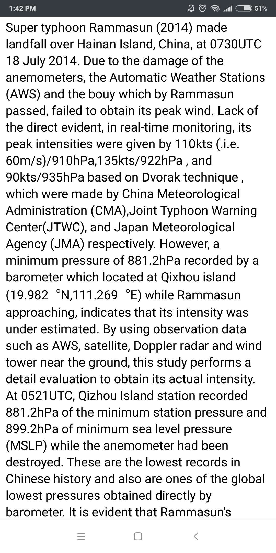
mrbagyo wrote:The lowest landbase barometric pressure reading for Typhoon Rammasun was 899.2 hpa! It was recorded in Qixhou Island Station.
Just 7.2 hpa shy of Labor Day Hurricanes 892 hpa.
. It is evident that Rammasun's eyewall did not pass across Qizhou Island directly, so the actual MSLP should be lower than 899.2hPa. By applying wind-pressure relationship, it is reckoned that the reasonable MSLP and peak wind of Rammasun should be 888hPa and 70-76m/s
1900hurricane wrote:NHC and CPHC are certainly looking at the SFMR readings with a more skeptical eye this season, especially in the presence of comparable flight level winds. CPHC and NHC waited an additional mission to upgrade Lane to a category 5 for this reason.
NotoSans wrote:Would also like to make some notes on RAMMASUN. Some meteorology amateurs from China actually visited CMA after RAMMASUN and confirmed the 899.2 mb pressure reading, but a detailed analysis showed that the weather station may have been hit by a mesovortex, as the pressure readings were consistently 8-10 mb higher when the center of the eye passed.
mrbagyo wrote:NotoSans wrote:Would also like to make some notes on RAMMASUN. Some meteorology amateurs from China actually visited CMA after RAMMASUN and confirmed the 899.2 mb pressure reading, but a detailed analysis showed that the weather station may have been hit by a mesovortex, as the pressure readings were consistently 8-10 mb higher when the center of the eye passed.
Are you saying that the pressure in Mesovortices could get even lower than the TC's Central pressure (akin to a pressure drop in a tornado - Tim Samaras was able to measure 850 hpa for a brief period - like for just several seconds only when a tornado passed directly over his probe)
NotoSans wrote:The lowest SLP recorded in Japan during VERA is 929.2 mb, so the landfall pressure is very likely 928 mb. VERA was indeed very large when it made landfall, so the intensity estimated using modern re-analysis technique may not be particularly high, but its extensive wind field is what makes it dangerous.

NotoSans wrote:Would also like to make some notes on RAMMASUN. Some meteorology amateurs from China actually visited CMA after RAMMASUN and confirmed the 899.2 mb pressure reading, but a detailed analysis showed that the weather station may have been hit by a mesovortex, as the pressure readings were consistently 8-10 mb higher when the center of the eye passed.
Ptarmigan wrote:NotoSans wrote:The lowest SLP recorded in Japan during VERA is 929.2 mb, so the landfall pressure is very likely 928 mb. VERA was indeed very large when it made landfall, so the intensity estimated using modern re-analysis technique may not be particularly high, but its extensive wind field is what makes it dangerous.
Re-Analysis/Prediction Of Typhoon Vera (1959) Project
https://ams.confex.com/ams/pdfpapers/16 ... 168250.pdf
It has what Vera would of looked like on satellite. Hurricane Katrina had central pressure of 920 millibars when it made the first landfall on Southeast Louisiana. It had 125 mph or 200 km/h wind. Katrina was large when it made landfall on Louisiana and Mississippi.
supercane4867 wrote:It's almost impossible to get a CAT5 landfall on Japanese mainland. I belive the northernmost CAT5 landfall record was set by Camille just north of 30N. In fact it's much harder for a TC to maintain such intensity at that latitude anywhere near land in the WPAC due to its geographic environment.
SconnieCane wrote:supercane4867 wrote:It's almost impossible to get a CAT5 landfall on Japanese mainland. I belive the northernmost CAT5 landfall record was set by Camille just north of 30N. In fact it's much harder for a TC to maintain such intensity at that latitude anywhere near land in the WPAC due to its geographic environment.
...and Camille's landfall intensity is now, at least unofficially, disputed. When I first started following TCs in the mid-'90s, it was taken as gospel that Labor Day and Camille were the only C5s to made landfall in the CONUS in the 20th century, and Andrew had been a high-end 4. Now the roles between the latter two have been flipped, although Camille's U.S. landfall intensity has not been officially downgraded, Max Hagen makes many good points in that post.
FWIW although I have no qualifications as a meteorologist, as a total weather geek I am always in the "bigger, stronger, more epic" camp when it comes to intensity of storms, so I started reading that post thinking he was full of it but by the end he had actually convinced me.
supercane4867 wrote:Pressure reading alone proves Camille was certainly an upper-end CAT5 when it made landfall. The lowest pressure recorded on land was 897mb as mentioned in reanalysis. NHC did revise the best track down to 900mb based on that reading.
supercane4867 wrote:Ptarmigan wrote:NotoSans wrote:The lowest SLP recorded in Japan during VERA is 929.2 mb, so the landfall pressure is very likely 928 mb. VERA was indeed very large when it made landfall, so the intensity estimated using modern re-analysis technique may not be particularly high, but its extensive wind field is what makes it dangerous.
Re-Analysis/Prediction Of Typhoon Vera (1959) Project
https://ams.confex.com/ams/pdfpapers/16 ... 168250.pdf
It has what Vera would of looked like on satellite. Hurricane Katrina had central pressure of 920 millibars when it made the first landfall on Southeast Louisiana. It had 125 mph or 200 km/h wind. Katrina was large when it made landfall on Louisiana and Mississippi.
It's almost impossible to get a CAT5 landfall on Japanese mainland. I belive the northernmost CAT5 landfall record was set by Camille just north of 30N. In fact it's much harder for a TC to maintain such intensity at that latitude anywhere near land in the WPAC due to its geographic environment.
Users browsing this forum: No registered users and 53 guests

