Disturbed weather in the GOMEX
Moderator: S2k Moderators
Forum rules

The posts in this forum are NOT official forecasts and should not be used as such. They are just the opinion of the poster and may or may not be backed by sound meteorological data. They are NOT endorsed by any professional institution or STORM2K. For official information, please refer to products from the National Hurricane Center and National Weather Service.
-
lrak

- S2K Supporter

- Posts: 1770
- Age: 59
- Joined: Thu Jun 21, 2007 2:48 pm
- Location: Corpus Christi, TX
Re: Disturbed weather in the GOMEX
Well my wish came true Corpus Christi is getting some much needed rain from this disturbance....localized though.
2 likes
AKA karl
Also
Personal Forecast Disclaimer:
My posts on this forum are NOT official forecast and should not be used as such. My posts are my basic observations and are definitely not backed by any "well some" meteorological knowledge. For official information, please refer to the NHC and NWS products.
Also
Personal Forecast Disclaimer:
My posts on this forum are NOT official forecast and should not be used as such. My posts are my basic observations and are definitely not backed by any "well some" meteorological knowledge. For official information, please refer to the NHC and NWS products.

Re: Disturbed weather in the GOMEX
wxGuy wrote:Is this from the pv streamer?
Looks like it is slowing working its was down to the surface.
Pretty deep convection at 24N 90W.
0 likes
-
jasons2k

- Storm2k Executive

- Posts: 8290
- Age: 52
- Joined: Wed Jul 06, 2005 12:32 pm
- Location: The Woodlands, TX
Re: Disturbed weather in the GOMEX
We have a pretty breezy E/ENE flow today, which is unusual. It is usually indicative of low pressure out on the Gulf.
Also, just a pet peeve of mine, “Hot Towers” are not a reference to every cumulonimbus tower out there. The hot tower distinction should be reserved for those explosive, and somewhat rare towers that penetrate the tropopause. So unless you can confirm with a 3-d profile of the atmosphere that this is happening, please stop tossing that term around with every burst of convection. It’s getting overused a lot in these threads.
Also, just a pet peeve of mine, “Hot Towers” are not a reference to every cumulonimbus tower out there. The hot tower distinction should be reserved for those explosive, and somewhat rare towers that penetrate the tropopause. So unless you can confirm with a 3-d profile of the atmosphere that this is happening, please stop tossing that term around with every burst of convection. It’s getting overused a lot in these threads.
3 likes
Re: Disturbed weather in the GOMEX
jasons wrote:We have a pretty breezy E/ENE flow today, which is unusual. It is usually indicative of low pressure out on the Gulf.
Also, just a pet peeve of mine, “Hot Towers” are not a reference to every cumulonimbus tower out there. The hot tower distinction should be reserved for those explosive, and somewhat rare towers that penetrate the tropopause. So unless you can confirm with a 3-d profile of the atmosphere that this is happening, please stop tossing that term around with every burst of convection. It’s getting overused a lot in these threads.
I distinguish a hot tower when it is bursts through a cirrus layer.
As you may well know cirrus clouds are high elevation.
Anything that pops thru cirrus in a short period of time with a small diameter is very likely a hot tower.
2 likes
Re: Disturbed weather in the GOMEX
GCANE wrote:jasons wrote:We have a pretty breezy E/ENE flow today, which is unusual. It is usually indicative of low pressure out on the Gulf.
Also, just a pet peeve of mine, “Hot Towers” are not a reference to every cumulonimbus tower out there. The hot tower distinction should be reserved for those explosive, and somewhat rare towers that penetrate the tropopause. So unless you can confirm with a 3-d profile of the atmosphere that this is happening, please stop tossing that term around with every burst of convection. It’s getting overused a lot in these threads.
I distinguish a hot tower when it is bursts through a cirrus layer.
As you may well know cirrus clouds are high elevation.
Anything that pops thru cirrus in a short period of time with a small diameter is very likely a hot tower.
Another distinguishing feature of a hot tower is that it will leave a residual cirrus layer on top of the current layer - the so called anvil effect.
It is quite apparent on Visible satellite.
Vortical Hot Towers can be identified in conjunction with IR satellite.
Here, very rapid rotation is noticed.
This, in most cases, allows the transfer of angular momentum from higher elevations to lower elevations.
3 likes
-
MississippiWx

- S2K Supporter
- Posts: 1720
- Joined: Sat Aug 14, 2010 1:44 pm
- Location: Hattiesburg, Mississippi
Re: Disturbed weather in the GOMEX
Seems to be a low forming in the Northern Gulf. Explains the winds here and the motion of our thunderstorms. Interesting.

3 likes
This post is not an official forecast and should not be used as such. It is just the opinion of MississippiWx and may or may not be backed by sound meteorological data. It is not endorsed by any professional institution including storm2k.org. For Official Information please refer to the NHC and NWS products.


Re: Disturbed weather in the GOMEX
https://www.tropicaltidbits.com/sat/sat ... roduct=vis
^^
Based on this and my 3/4 spins in the gulf post from last night, it got 2 of them right though 1 doesn't appear to actually be a spin. The first was the energy to form just off the LA/TX Coast and move into the Central Texas Coast. Check. The second one would be off of South Texas. Check. The third would be the one forming south of MS/AL which is apparently what we see here though a bit farther northeast than what was progged. We'll have to see if this is temporary or if we will still get the main low to form south of the SC LA Coast in the coming couple of days. Good job so far by the NAM overall though some minor details have been different. Let's see if we don't get a spin up for a depression in the next 3 days.
Also look at the surge riding up the FL Peninsula with some outflows. That well may be the juice that eventually gets this going.
Last edited by Steve on Thu Aug 30, 2018 2:45 pm, edited 1 time in total.
3 likes


-
Nederlander
- S2K Supporter
- Posts: 1259
- Joined: Sat Jul 19, 2008 4:28 pm
- Location: Conroe, TX
Re: Disturbed weather in the GOMEX
Wind has definitely changed and picked up throughout the day here in Beaumont/Port Arthur. Started the day with light, S-SE winds and now they are probably 10-15mph out of the east.
1 likes
-
Tampa Bay Hurricane

- Category 5

- Posts: 5597
- Age: 38
- Joined: Fri Jul 22, 2005 7:54 pm
- Location: St. Petersburg, FL
Re: Disturbed weather in the GOMEX
There might be something forming south of Louisiana and Mississippi.
I had three rounds of squalls with gusty winds very tropical like over the past 4 hours. A fourth round is forming over SW Florida. The first three rounds took down a lot of palm fronds in my area. This is similar to what we see in a tropical cyclone in terms of outer bands.
Picture of palm fronds down after squalls:
https://photos.app.goo.gl/ojVS37N2Gu4o3SbE8
Last edited by Tampa Bay Hurricane on Thu Aug 30, 2018 4:20 pm, edited 1 time in total.
1 likes

Re: Disturbed weather in the GOMEX
A definite broad circulation has developed over the eastern GOM this afternoon.
1 likes
Re: Disturbed weather in the GOMEX
NDG wrote:A definite broad circulation has developed over the eastern GOM this afternoon.
That was I think the one NAM had near Destin on land (the 4th spin). People dog on the NAM too much even though it’s often warranted. However, sometimes (like now and last year with Harvey), it leads to the truth.
Lower level (850mb) at 18z shows the center forming a bit east than before and coming together right along the LA Coast. Still looks like a TD candidate.
https://www.tropicaltidbits.com/analysi ... 83018&fh=9
1 likes
Re: Disturbed weather in the GOMEX
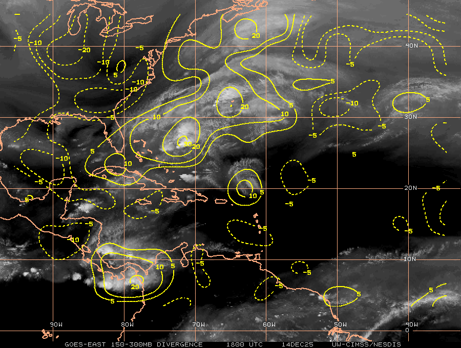
Looking S of the AL/FL line in the visible looks like one might can see some rotation of sorts off the coast at the surface below the clouds 
https://www.tropicaltidbits.com/sat/sat ... roduct=vis
https://www.tropicaltidbits.com/sat/sat ... roduct=vis
0 likes

Re: Disturbed weather in the GOMEX
Anticyclonic circulation in the cirrus clouds and possibly some energy dropping south off the LA coast that might trigger something at the surface. Not sure if that spin was the tail of a front or something new?
1 likes
-
wxGuy
Re: Disturbed weather in the GOMEX
Steve wrote:NDG wrote:A definite broad circulation has developed over the eastern GOM this afternoon.
That was I think the one NAM had near Destin on land (the 4th spin). People dog on the NAM too much even though it’s often warranted. However, sometimes (like now and last year with Harvey), it leads to the truth.
Lower level (850mb) at 18z shows the center forming a bit east than before and coming together right along the LA Coast. Still looks like a TD candidate.
https://www.tropicaltidbits.com/analysi ... 83018&fh=9
I've been wanting to say this about the NAM, you hit it the nail on the head with that one.
I used NAM with harvey and it served me and my family well. we safely evacuated Harvey and avoided 5ft of water in my house. nam and 24hr precip charts made me leave on friday, august 25
1 likes
Re: Disturbed weather in the GOMEX
Nimbus wrote:Anticyclonic circulation in the cirrus clouds and possibly some energy dropping south off the LA coast that might trigger something at the surface. Not sure if that spin was the tail of a front or something new?
Thinking it’s not a front. We have had a boundary around for a while but the front itself has been farther north and west. Almost out of visible, but damn if the Gulf isn’t juicy.
https://www.tropicaltidbits.com/sat/sat ... roduct=vis
0 likes
Re: Disturbed weather in the GOMEX
wxGuy wrote:Steve wrote:NDG wrote:A definite broad circulation has developed over the eastern GOM this afternoon.
That was I think the one NAM had near Destin on land (the 4th spin). People dog on the NAM too much even though it’s often warranted. However, sometimes (like now and last year with Harvey), it leads to the truth.
Lower level (850mb) at 18z shows the center forming a bit east than before and coming together right along the LA Coast. Still looks like a TD candidate.
https://www.tropicaltidbits.com/analysi ... 83018&fh=9
I've been wanting to say this about the NAM, you hit it the nail on the head with that one.
I used NAM with harvey and it served me and my family well. we safely evacuated Harvey and avoided 5ft of water in my house. nam and 24hr precip charts made me leave on friday, august 25
Good call there. It was almost unreal the way it depicted what it said would happen. I mean sub 890 wasnt probably going to happen. And it was way down at 20N (or slightly south of that) which isn’t even in its 3km range. CMC had a decent call too if I remember while EC and GfS didn’t even have a closed low coming off the Yucatán. I know the NAM isn’t for the tropics and isn’t even always great in the subtropics or mid-latitudes. But it has its moments. And since literally every other model there is still isn’t showing any spins in the Gulf until the next wave, we have some development going on in front of our eyes, it deserves credit here.
1 likes
Who is online
Users browsing this forum: No registered users and 152 guests