@DrewitzWx
Latest analysis of #HurricaneFlorence shows 2 areas of strong shear on opposite ends of the system with weak shear in between around the center of circulation. This is important as shear vectors in opposite directions and stretching the low to make for rapid development.#Florence
https://twitter.com/DrewitzWx/status/1038918443226083335
ATL: FLORENCE - Post-Tropical - Discussion
Moderator: S2k Moderators
-
TheDreamTraveler

- Category 2

- Posts: 645
- Joined: Sun Aug 22, 2010 3:10 am
- Location: PA
-
PandaCitrus
- Category 1

- Posts: 424
- Joined: Mon Sep 04, 2017 2:44 pm
Re: ATL: FLORENCE - Hurricane - Discussion
Storm Surge potential for a Cat 4 Hurricane around Wilmington is up to 28 feet. This could be Katrina level bad depending on strength and track. Everyone needs to take this storm seriously.


1 likes
-
wxman57

- Moderator-Pro Met

- Posts: 23170
- Age: 68
- Joined: Sat Jun 21, 2003 8:06 pm
- Location: Houston, TX (southwest)
Re: ATL: FLORENCE - Hurricane - Discussion
If you want to quote percentages, let's do it scientifically. StormGeo just tweeted a graphic that combines the 20 CMC, 20 GFS, and 51 ECMWF ensemble members along with the operational runs for 94 total plots. They calculate the chance of the center passing within 125 miles of a point (typical TS wind expanse, but Florence is smaller than average). It indicates about a 5 to 10% chance of Florence passing within 125 miles of Jacksonville, FL. That would equal <5% chance of the center striking that far south. Maybe only a couple percent. Ideally, the plot would make calculations based upon the projected size of the TS wind field vs. a static 125 miles, but it's a start.
Note the secondary lobe off the Outer Banks (GFS members). This is what the future "cone" could look like, as it really takes into consideration the current level of uncertainty vs. plotting a 5-year average error. Main downside is that the EC ensembles take about 9 hours to run (7am to 4pm CDT).

Note the secondary lobe off the Outer Banks (GFS members). This is what the future "cone" could look like, as it really takes into consideration the current level of uncertainty vs. plotting a 5-year average error. Main downside is that the EC ensembles take about 9 hours to run (7am to 4pm CDT).
9 likes
-
wxman57
- Moderator-Pro Met
- Posts: 23170
- Age: 68
- Joined: Sat Jun 21, 2003 8:06 pm
- Location: Houston, TX (southwest)
Re: ATL: FLORENCE - Hurricane - Discussion
Note that those SLOSH plots are based upon a larger hurricane than Florence will be, so they'll be too high. Given the projected path of Florence, and using Cat 3 vs. Cat 4 to take into account the smaller than average size, Florence could produce a surge up to 14 ft in the Wilmington area. Note that in the graphic below I set SLOSH to display inundation vs. surge height, but the flags are on the beach, so that would equal the surge height.

3 likes
-
tarheelprogrammer

- S2K Supporter

- Posts: 1793
- Joined: Mon Mar 28, 2016 9:25 pm
- Location: Raleigh, NC area (Garner, NC)
Re: ATL: FLORENCE - Hurricane - Discussion
wxman57 wrote:Note that those SLOSH plots are based upon a larger hurricane than Florence will be, so they'll be too high. Given the projected path of Florence, and using Cat 3 vs. Cat 4 to take into account the smaller than average size, Florence could produce a surge up to 14 ft in the Wilmington area. Note that in the graphic below I set SLOSH to display inundation vs. surge height, but the flags are on the beach, so that would equal the surge height.
http://wxman57.com/images/SLOSH.JPG
I thought that Florence was already over 400 miles wide and that it is continuing to grow up until landfall? Is it likely to stay the same size?
1 likes
My posts are not official forecasts. They are just my opinion and may or may not be backed by sound meteorological data. They are NOT endorsed by any professional institution or storm2k.org. For official information, please refer to the NHC and NWS products.
-
plasticup
Re: ATL: FLORENCE - Hurricane - Discussion
seahawkjd wrote:plasticup wrote:gatorcane wrote:Wow

There is not even a color code for the rainfall totals.
26 inches of rain in some of the poorest counties in the country. These are counties where schools are still closed from the flooding of Mathew in 2016.
Living in the area you are talking about; I have to ask what counties are you referring to that haven't reopened schools after 2 years?
(moving this over to the Discussion thread because I think we are drifting away from just the models)
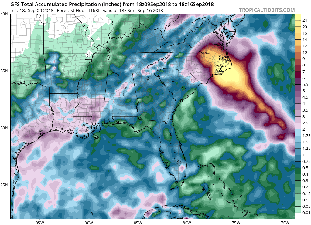
Robeson county is the poorest in NC, and one of the poorest in the country. 28% of the population is below the poverty line. After the flooding of Hurricane Mathew, some schools just closed up for good.. It didn't help that Trump rejected >99% of requests for assistance. This is the place that models are showing 30+ inches of rain.
Anyway, this is the kind of broken, impoverished place than absolutely cannot handle the kind of storm we are expecting. The residents cannot evacuate, they don't have the means. They will have to shelter in place even though the infrastructure won't support it.
Those folks on the Outer Banks will presumably all evacuate. Or at least they could. It's the poor folks inland who are really screwed.
Last edited by plasticup on Sun Sep 09, 2018 6:16 pm, edited 1 time in total.
3 likes
-
PavelGaborik10
- Category 1
- Posts: 472
- Joined: Tue Sep 04, 2018 3:23 pm
Re: ATL: FLORENCE - Hurricane - Discussion
wxman57 wrote:Note that those SLOSH plots are based upon a larger hurricane than Florence will be, so they'll be too high. Given the projected path of Florence, and using Cat 3 vs. Cat 4 to take into account the smaller than average size, Florence could produce a surge up to 14 ft in the Wilmington area. Note that in the graphic below I set SLOSH to display inundation vs. surge height, but the flags are on the beach, so that would equal the surge height.
Isn't Florence expected to get significantly larger over the coming days though? I remember Ike starting off as one of the tiniest little compact majors I've seen, next thing I know it's taking up the entire GOM.
3 likes
-
Aric Dunn
- Category 5

- Posts: 21238
- Age: 43
- Joined: Sun Sep 19, 2004 9:58 pm
- Location: Ready for the Chase.
- Contact:
Re: ATL: FLORENCE - Hurricane - Discussion
eye is finally starting to pop out
1 likes
Note: If I make a post that is brief. Please refer back to previous posts for the analysis or reasoning. I do not re-write/qoute what my initial post said each time.
If there is nothing before... then just ask
Space & Atmospheric Physicist, Embry-Riddle Aeronautical University,
I believe the sky is falling...
If there is nothing before... then just ask
Space & Atmospheric Physicist, Embry-Riddle Aeronautical University,
I believe the sky is falling...
Re: ATL: FLORENCE - Hurricane - Discussion
tarheelprogrammer wrote:wxman57 wrote:Note that those SLOSH plots are based upon a larger hurricane than Florence will be, so they'll be too high. Given the projected path of Florence, and using Cat 3 vs. Cat 4 to take into account the smaller than average size, Florence could produce a surge up to 14 ft in the Wilmington area. Note that in the graphic below I set SLOSH to display inundation vs. surge height, but the flags are on the beach, so that would equal the surge height.
I thought that Florence was already over 400 miles wide and that it is continuing to grow up until landfall? Is it likely to stay the same size?
From the 5:00 NHC discussion:
It is worth noting that the model guidance is also significantly increasing the size of Florence's wind field over the next few days, and the official forecast reflects this trend.
4 likes
-
Rail Dawg
- S2K Supporter
- Posts: 326
- Joined: Mon Aug 27, 2012 5:02 pm
- Location: Where the eye makes landfall.
Re: ATL: FLORENCE - Hurricane - Discussion
Who thinks Miss Florence will be retired?
9 likes
Although I have been a hurricane forecaster since 1980 that only means I've been wrong lots of times.

Re: ATL: FLORENCE - Hurricane - Discussion
Aric Dunn wrote:eye is finally starting to pop out
For what, the 4th time today?
0 likes
Kendall -> SLO -> PBC
Memorable Storms: Katrina (for its Florida landfall...) Wilma Matthew Irma
Memorable Storms: Katrina (for its Florida landfall...) Wilma Matthew Irma
-
Aric Dunn
- Category 5
- Posts: 21238
- Age: 43
- Joined: Sun Sep 19, 2004 9:58 pm
- Location: Ready for the Chase.
- Contact:
Re: ATL: FLORENCE - Hurricane - Discussion
Ubuntwo wrote:Aric Dunn wrote:eye is finally starting to pop out
For what, the 4th time today?
A real one..
1 likes
Note: If I make a post that is brief. Please refer back to previous posts for the analysis or reasoning. I do not re-write/qoute what my initial post said each time.
If there is nothing before... then just ask
Space & Atmospheric Physicist, Embry-Riddle Aeronautical University,
I believe the sky is falling...
If there is nothing before... then just ask
Space & Atmospheric Physicist, Embry-Riddle Aeronautical University,
I believe the sky is falling...
-
supercane4867
- Category 5
- Posts: 4966
- Joined: Wed Nov 14, 2012 10:43 am
Re: ATL: FLORENCE - Hurricane - Discussion
Ubuntwo wrote:Aric Dunn wrote:eye is finally starting to pop out
For what, the 4th time today?
It's normal for strengthening TCs to have multiple eyewall building attempts
1 likes
-
plasticup
Re: ATL: FLORENCE - Hurricane - Discussion
Rail Dawg wrote:Who thinks Miss Florence will be retired?
Baring something unexpected, yeah. Seems likely.
1 likes
-
TheDreamTraveler
- Category 2
- Posts: 645
- Joined: Sun Aug 22, 2010 3:10 am
- Location: PA
Re: ATL: FLORENCE - Hurricane - Discussion
Aric Dunn wrote:eye is finally starting to pop out
That looks like an extremely tiny eye. Wondering if it'll get bigger than that. Pinhole eyes can be monsters.
1 likes
-
Aric Dunn
- Category 5
- Posts: 21238
- Age: 43
- Joined: Sun Sep 19, 2004 9:58 pm
- Location: Ready for the Chase.
- Contact:
Re: ATL: FLORENCE - Hurricane - Discussion

3 likes
Note: If I make a post that is brief. Please refer back to previous posts for the analysis or reasoning. I do not re-write/qoute what my initial post said each time.
If there is nothing before... then just ask
Space & Atmospheric Physicist, Embry-Riddle Aeronautical University,
I believe the sky is falling...
If there is nothing before... then just ask
Space & Atmospheric Physicist, Embry-Riddle Aeronautical University,
I believe the sky is falling...
Re: ATL: FLORENCE - Hurricane - Discussion
0 likes
-
plasticup
Re: ATL: FLORENCE - Hurricane - Discussion
Aric Dunn wrote:[im g]https://image.ibb.co/i6ug29/10101101010.gif[/img]
What am I looking at here?
0 likes
Who is online
Users browsing this forum: No registered users and 36 guests