NWS National Hurricane Center Miami FL AL082018
1100 AM AST Thu Sep 13 2018
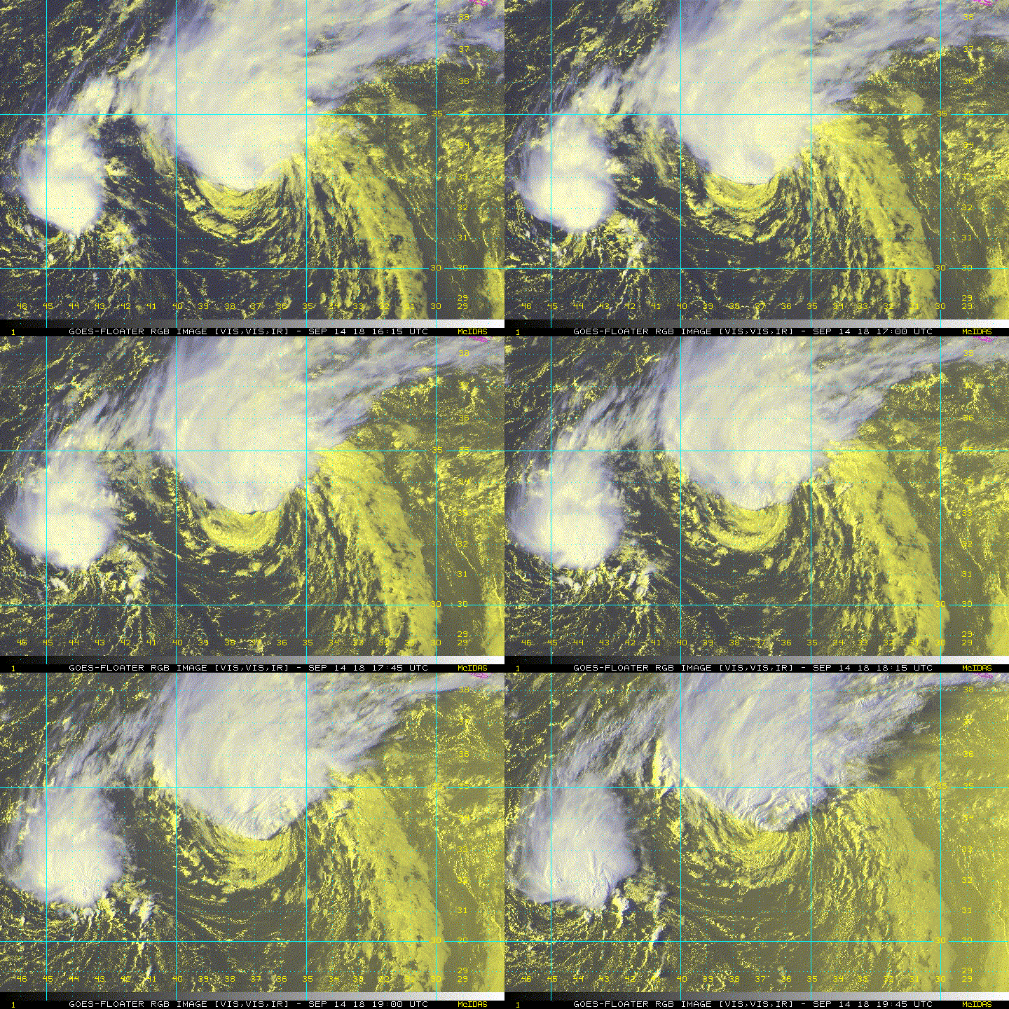
Helene continues with very limited deep convection, only observed
this morning in the northwestern quadrant. Dvorak estimates from
TAFB and SAB are dropping, and a blend of these with the CIMSS
SATCON indicates an intensity of 60 kt. Thus Helene has weakened to
a tropical storm.
Strong tropospheric vertical shear along with only lukewarm waters
are likely contributing toward Helene's weakening. The shear
should further increase during the next two days, though the sea
surface temperatures will rebound up to 27C along with an increase
in low-level moisture. A slow weakening is thus expected.
Beginning in about three days, Helene will commence baroclinic
transition, and it is expected to become an extratropical cyclone by
96 hours. This forcing should preclude any additional weakening
through the remainder of the forecast period. The official
intensity forecast is similar to the previous advisory. The
prediction is based on a blend of the stronger HWRF dynamical model
and the weaker SHIPS/LGEM statistical schemes for the next couple
of days, and is based on a blend of the GFS/ECMWF/UKMET global
models at the extended lead times.
Helene is moving northward at about 12 kt between the subtropical
ridge to its east and a deep-layer trough to its west. The system
should accelerate and turn toward the northeast over the next few
days as it rounds the subtropical ridge and starts getting picked
up by the mid-latitude westerlies. The official track forecast is
based upon the variable consensus technique (TVCN) and is just
north of the previous forecast through three days. The
guidance suite remains tightly clustered and indicates that Helene
will pass near the Azores in 2 or 3 days. Interests in
those islands should closely monitor the progress of Helene.
FORECAST POSITIONS AND MAX WINDS
INIT 13/1500Z 24.8N 37.3W 60 KT 70 MPH
12H 14/0000Z 27.2N 37.1W 55 KT 65 MPH
24H 14/1200Z 30.8N 36.6W 50 KT 60 MPH
36H 15/0000Z 34.2N 35.5W 50 KT 60 MPH
48H 15/1200Z 37.2N 33.3W 50 KT 60 MPH
72H 16/1200Z 40.5N 26.0W 50 KT 60 MPH
96H 17/1200Z 44.0N 18.0W 50 KT 60 MPH...POST-TROP/EXTRATROP
120H 18/1200Z 51.5N 9.0W 50 KT 60 MPH...POST-TROP/EXTRATROP
$$
Forecaster Landsea


