KUEFC wrote:Honestly don’t understand any of this, which one should be trusted regarding track etc?
I think the point right now is that
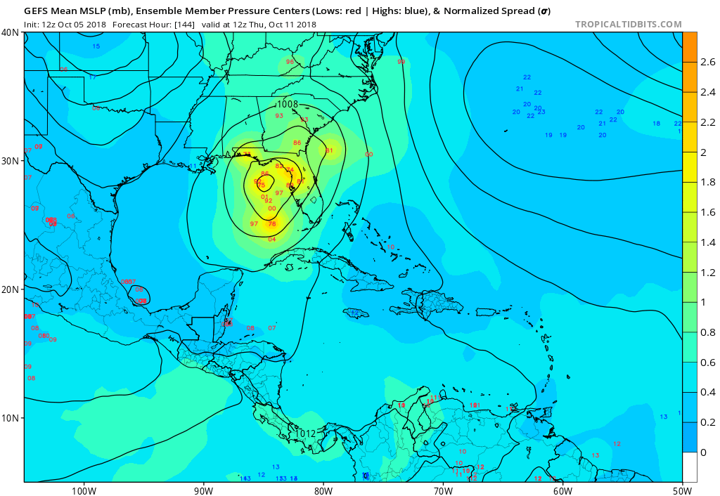
none of them should be trusted. . . yet. There are still too many variables: different vortices firing up and spinning down, timing of fronts, persistence/development/erosion of ridges, etc. The initial conditions for the models are still too uncertain, in my humble and non-meteorologically trained opinion, to put a lot of stock in any one model or model run yet. You'll notice that even the pro mets and the forum's more erudite non-pros are still having to hedge their bets because of the complexity of the situation. That's mainly because it's still early in the system's development. The NHC is still giving it "only" a 40% chance of developing into a cyclone in the next two days, so there's still a lot that has to happen before things get more definite. Patience will be very helpful. Again, just my opinion.

Nothing that I post here should ever be treated as a forecast or anything resembling one. Please check with your local NWS office or the NHC for forecasts, watches, and warnings.


