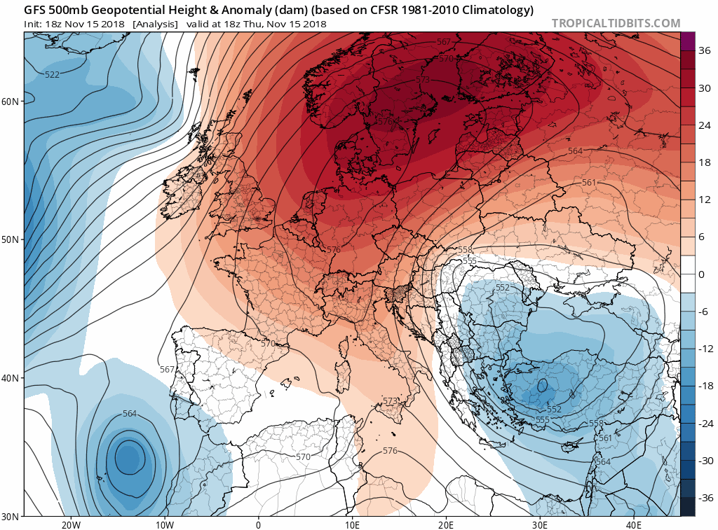
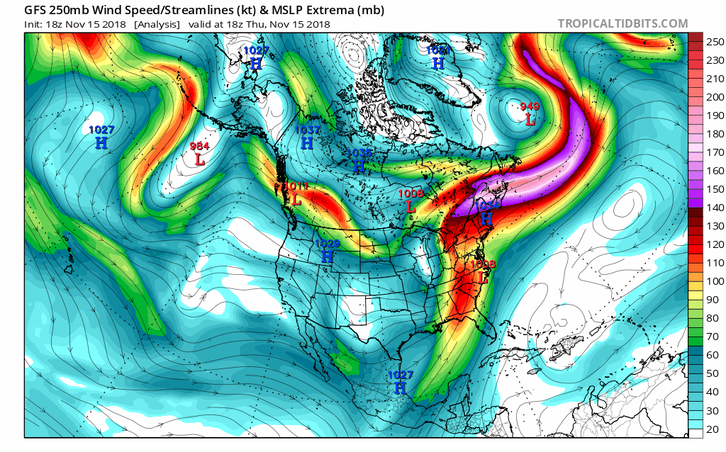
This was a fun system to track. It dumped huge fluffy flakes on us this morning in DC with the airport officially reporting the 3rd highest early season total on record with 1.4". I would say totals were closer to 2 -2.5" at my location but totals rapidly declined as you moved into the District. Even as late as last night the local NWS office was going with little to no accumulation of snow or sleet and the Capital Weather Gang went with brief winter mix quickly changing to rain. The 18z and 00z models all trended a tad colder but, even then, I didn't expect to see this kind of snow. However, borderline setups with strong CAD in place are very tricky to forecast. Looking at the soundings last night and it was so borderline, surface temps b/w 32-34, thin warm layer b/w 800-700mb, but strong Omega in the DGZ. It was basically hair splitting b/w sleet/rain mix and heavy big flake snow and the heavy snow won out for a few hours.

My hands were full when making my way over to DC this morning and I didn't get many good pics. But here are a few:
It takes pretty impressive rates to cover the road when temps are just above freezing.

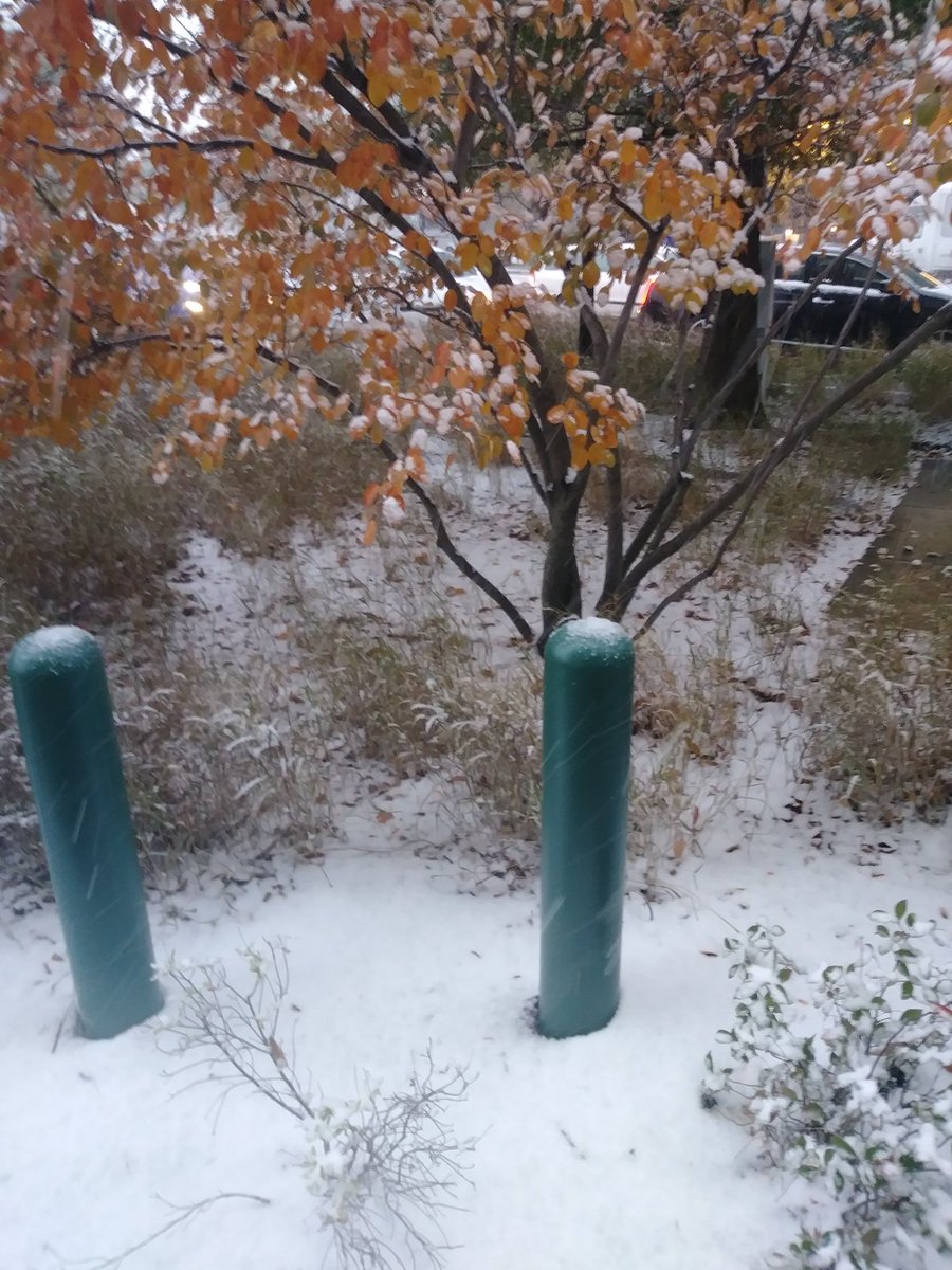
Early on once the ground was turning solid white.
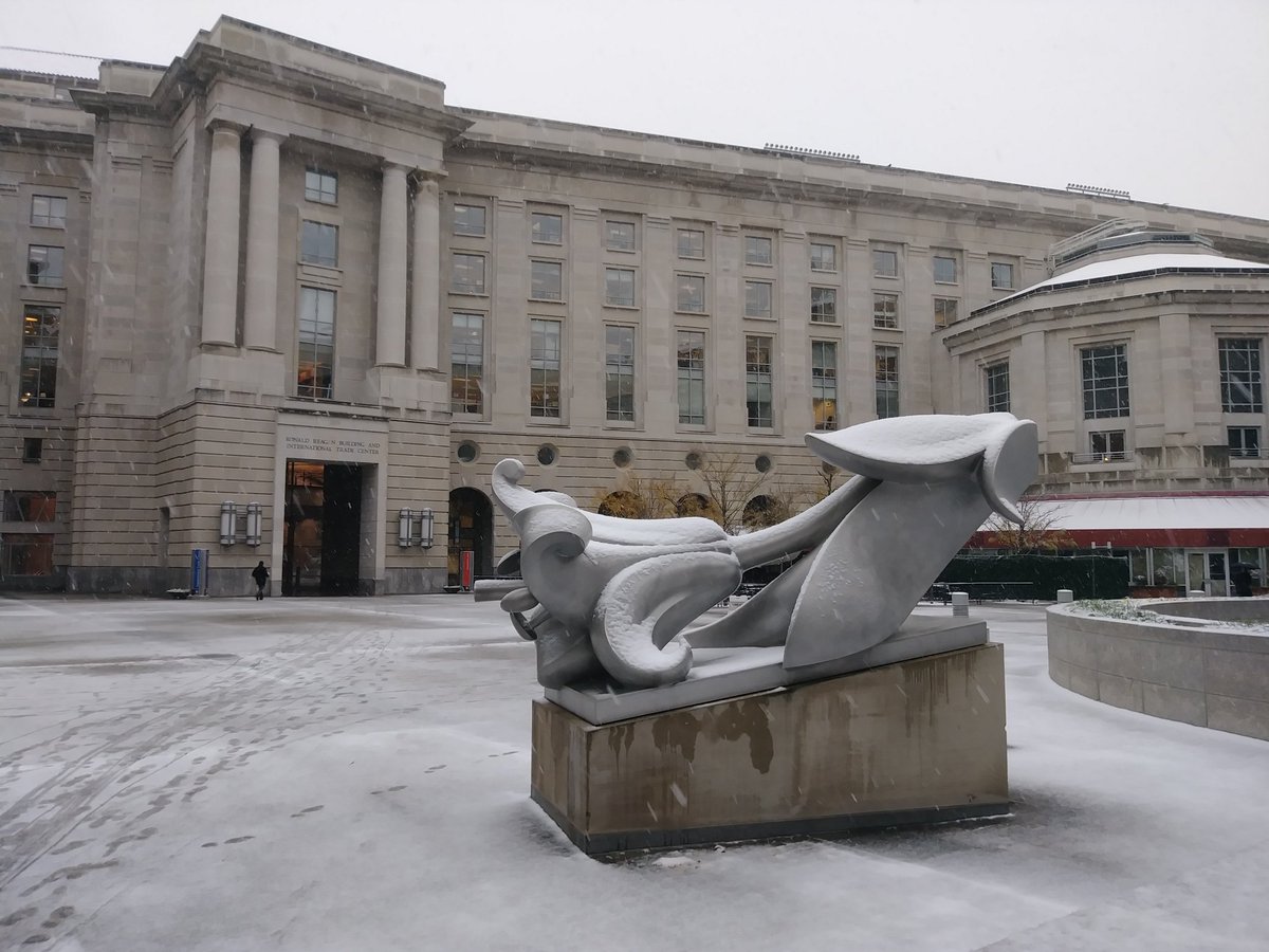
Much less impressive accumulations over in the District.
Winter time post are almost exclusively focused on the DFW area.