Note=This thread is not to post forecast numbers but to discuss about how things are going in the factors this thread is enlisting. There will be our annual poll for that starting on May 1rst. As a matter of fact,this thread will help you a bit to decide about the numbers game with all the information that will be posted.


https://www.ssd.noaa.gov/PS/TROP/TCFP/atlantic.html

http://www.cpc.ncep.noaa.gov/products/p ... /nao.shtml
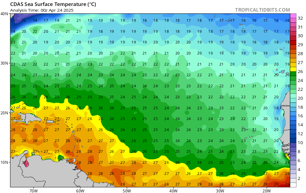


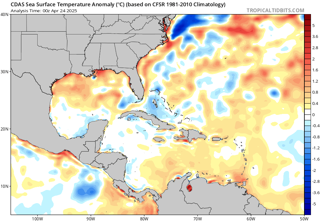
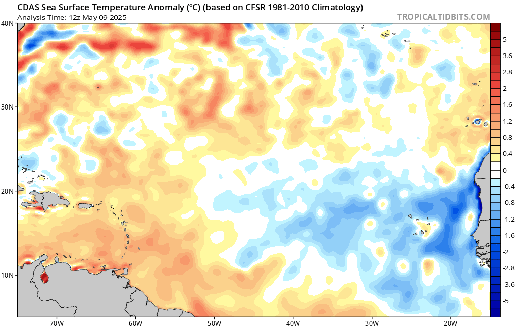
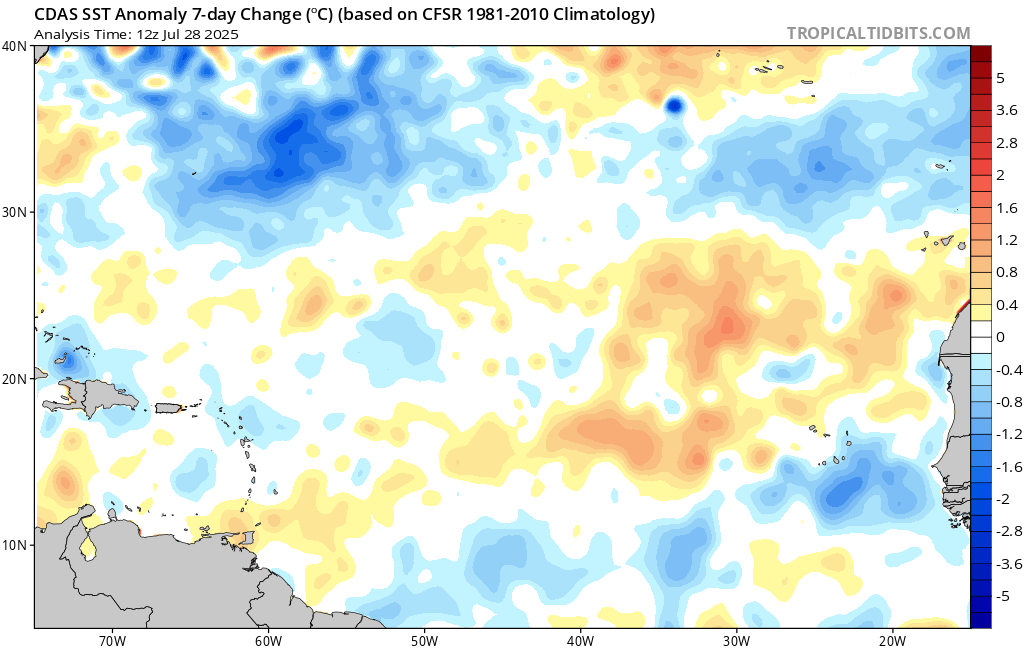
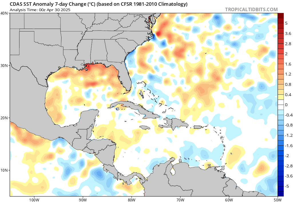
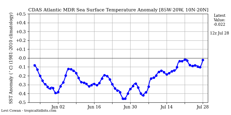
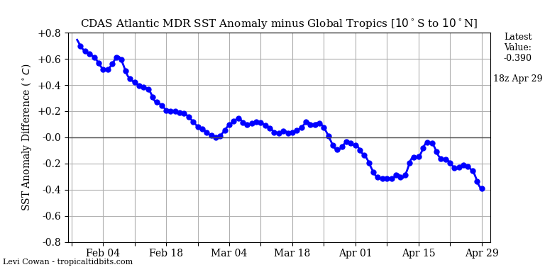
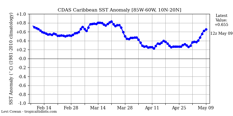
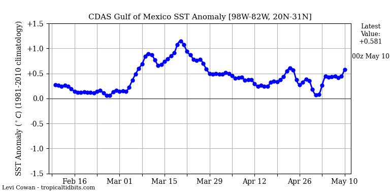
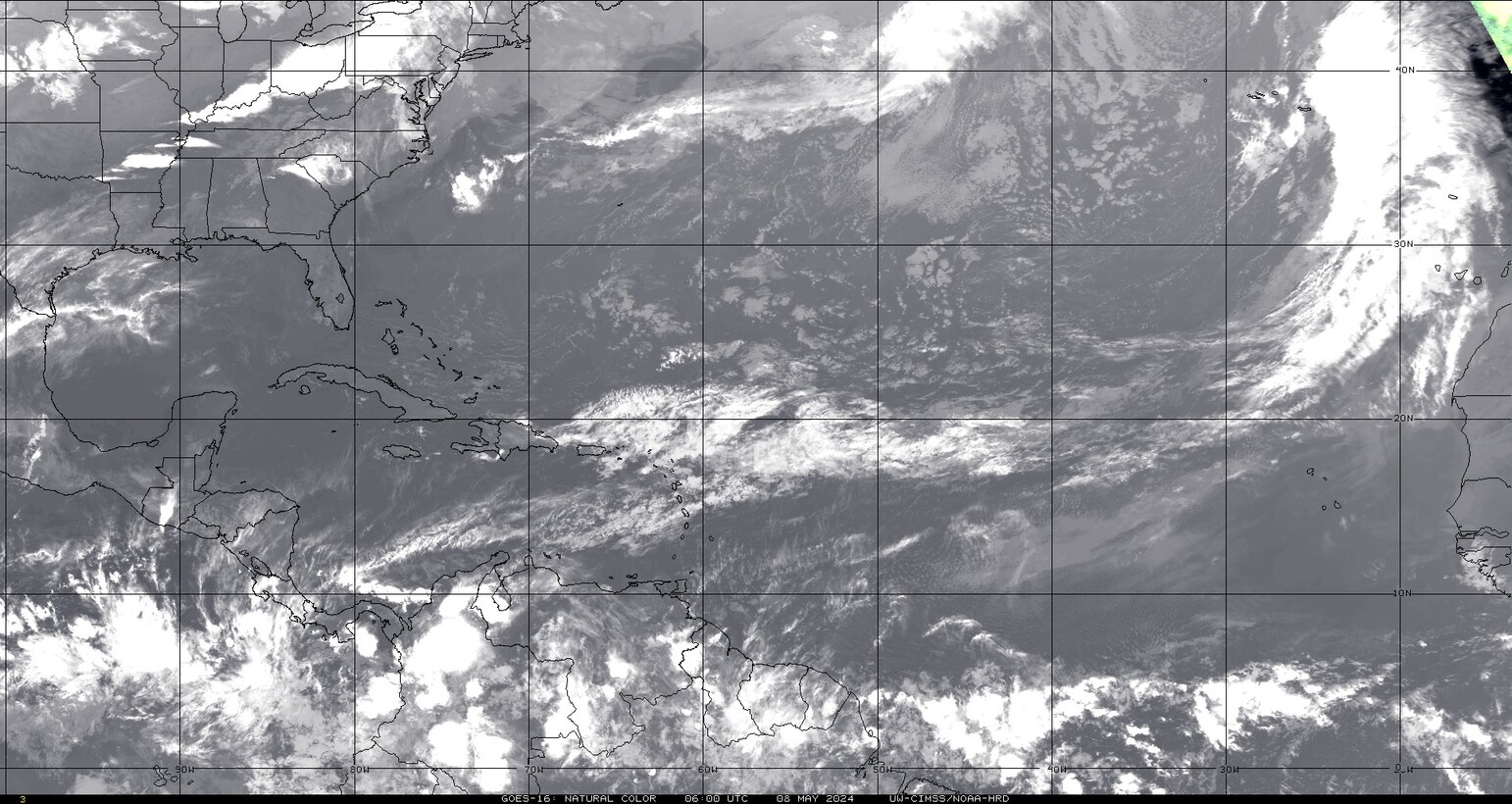
https://www.tropicaltidbits.com/analysis/ocean/


http://tropic.ssec.wisc.edu/real-time/sal/
ECMWF MSLP updates