#14066 Postby northjaxpro » Thu Jan 31, 2019 5:41 am
Currrently 32 .3 degrees at 5:15 a.m. with heavy frost this early morning .This is only the fourth morning of seeing temp at or below freezing all season thus far Looks like we may be headed for potentially the coldest temp reading of the season. We have yet to have a sub 30 degree morning so far. We may see that later this morning up unril around 8:00 a.m. or so.
There will.be yet another shortwave disturbance moving across Florida on Saturday, albeit this one looks to be significantly weaker than last weekend's soaker. The ssouthern jet stream will probably stay active at least into the first half of February as well. It has been active all Fall/Winter 2018 into 2019 to this juncture. I have already received over 5 inches of rainfall in the past 10 days as we end January. It has definitely been a decent El Nino pattern in my opinion for sure that has been in place since November.
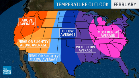
Well, our gold ole Southeast U.S. ridge will set up shop for a while, beginning this upcoming week, giving folks around here a spring fever rush for the first week to 10 days of February. We will bask in the warmth as the PV retreats for the first half of February.
.
There will be a likelihood of a reset of the large scale blocking pattern still in place over North America in a couple of weeks. It took a period of several weeks for the SSW event to finally.get established. Well, it will take quite awhile for such a massive blocking pattern to break itself down. This pattern could take 30-45 days before finally loosening its grip over the continent. There will be at least one more significant lobe or piece of the PV Anomaly that will drop back down into the Eastern ÇONUS as we get into mid February. Long range 500 mb analysis continues to hint at massive blocking over Greenland and Western Canada into Alaska.
How much colder is yet to be determined? It will depend on the teleconnections, especially the NAO. Will the NAO ever go negative? I will just for now say that colder temperatures will be back across the Eastern CONUS by mid month.
Central and South Florida looks pretty good now going forward in terms of escaping very cold temps the rest of the way, unless we get a significant tanking of the NAO. Mother Nature keeps having mercy on us in Florida about that factor, so as long as that continues, farther down state looks good to avoid extreme cold the month of February.
I am not out of the woods living here in Jax until at least mid-March of seeing potential freezes here in Northeast Florida. We still have about six weeks of potential winter left to get through before I can even think about planting the spring garden.
Have a great day everyone !
2 likes
NEVER, EVER SAY NEVER in the tropics and weather in general, and most importantly, with life itself!!
________________________________________________________________________________________
Fay 2008 Beryl 2012 Debby 2012 Colin 2016 Hermine 2016 Julia 2016 Matthew 2016 Irma 2017 Dorian 2019


