Tropical Weather Outlook
NWS National Hurricane Center Miami FL
500 PM PDT Mon Jun 24 2019
For the eastern North Pacific...east of 140 degrees west longitude:
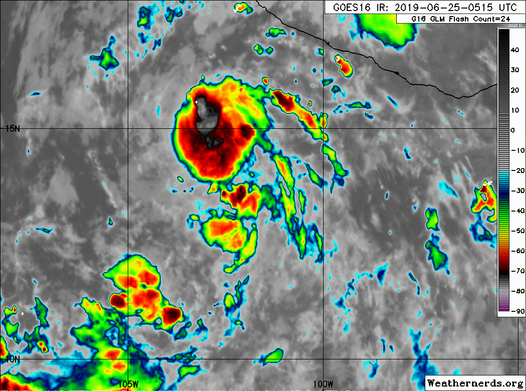
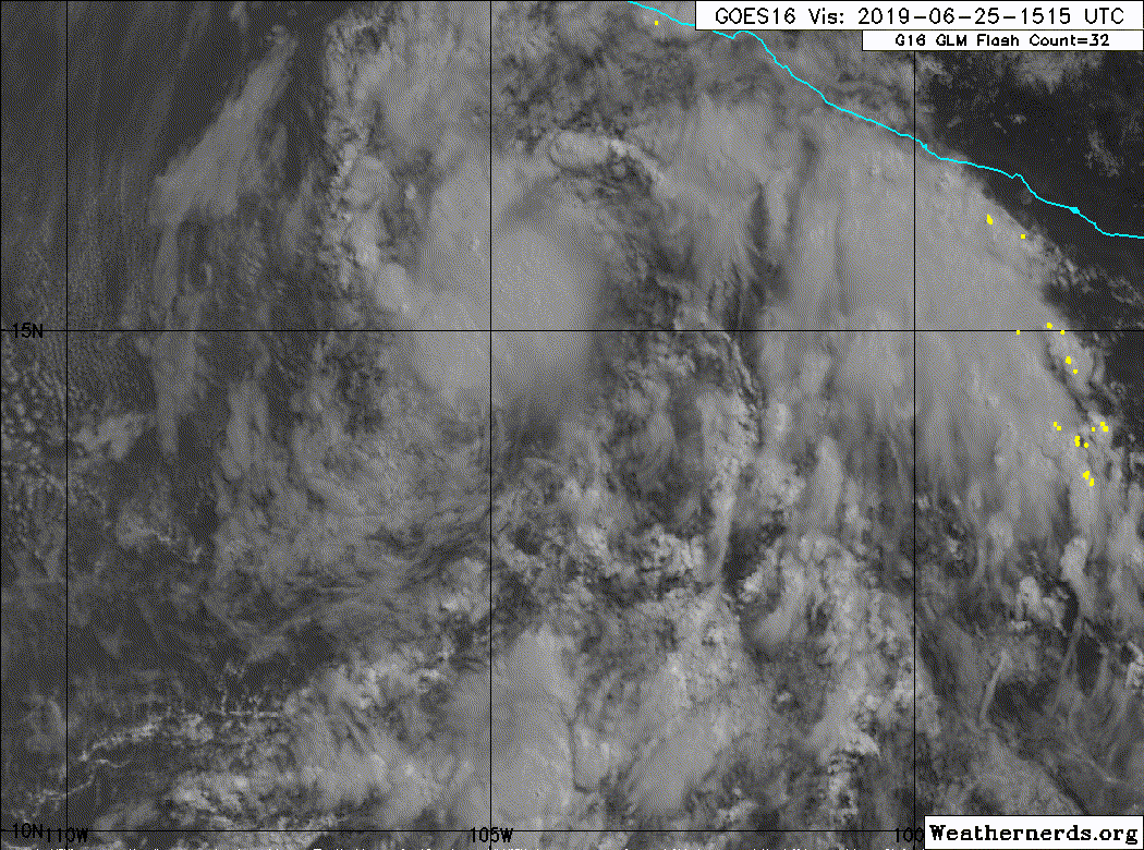
1. Satellite imagery indciates that a broad area of low pressure has
formed in association with the tropical wave located a few hundred
miles south of the southern coast of Mexico, and that the
accompanying shower activity is showing signs of organization.
Environmental conditions are expected to be conducive for gradual
development of this system, and a tropical depression is likely to
form within the next few days while the system moves
west-northwestward away from the coast of Mexico.
* Formation chance through 48 hours...medium...60 percent.
* Formation chance through 5 days...high...70 percent.
Forecaster Beven
NWS National Hurricane Center Miami FL
500 PM PDT Mon Jun 24 2019
For the eastern North Pacific...east of 140 degrees west longitude:
1. Satellite imagery indciates that a broad area of low pressure has
formed in association with the tropical wave located a few hundred
miles south of the southern coast of Mexico, and that the
accompanying shower activity is showing signs of organization.
Environmental conditions are expected to be conducive for gradual
development of this system, and a tropical depression is likely to
form within the next few days while the system moves
west-northwestward away from the coast of Mexico.
* Formation chance through 48 hours...medium...60 percent.
* Formation chance through 5 days...high...70 percent.
Forecaster Beven
Also pretty decent support from HWRF and HMON.