https://twitter.com/RyanMaue/status/1167790679763951618
ATL: DORIAN - Models
Moderator: S2k Moderators
-
toad strangler

- S2K Supporter

- Posts: 4546
- Joined: Sun Jul 28, 2013 3:09 pm
- Location: Earth
- Contact:
Re: ATL: DORIAN - Models
1 likes
My Weather Station
https://www.wunderground.com/dashboard/pws/KFLPORTS603
https://www.wunderground.com/dashboard/pws/KFLPORTS603
-
northjaxpro

- S2K Supporter
- Posts: 8900
- Joined: Mon Sep 27, 2010 11:21 am
- Location: Jacksonville, FL
Re: ATL: DORIAN - Models
NDG wrote:KWT wrote:NDG wrote:The forecasted position for 12z by the latest 06z HWRF is already too far north, something to keep in mind.
Yeah alot of the models are already too far north with its motion. The GFS has somewhat corrected itself but lunches it WNW from about 18z. I wouldn't be shocked if it keeps trundling along like this till it hits the weakness and it doesn't bend WNW like some of the models want.
We need the atmosphere sampled to the north of Dorian, ridging looks a little stronger than what the models showed last night.
0 likes
NEVER, EVER SAY NEVER in the tropics and weather in general, and most importantly, with life itself!!
________________________________________________________________________________________
Fay 2008 Beryl 2012 Debby 2012 Colin 2016 Hermine 2016 Julia 2016 Matthew 2016 Irma 2017 Dorian 2019
________________________________________________________________________________________
Fay 2008 Beryl 2012 Debby 2012 Colin 2016 Hermine 2016 Julia 2016 Matthew 2016 Irma 2017 Dorian 2019
-
chris_fit

- Category 5

- Posts: 3261
- Age: 43
- Joined: Wed Sep 10, 2003 11:58 pm
- Location: Tampa Bay Area, FL
Re: ATL: DORIAN - Models
Many of the 06Z EPS bend back W at the end...
Question... If the stall occurs for long enough, is there another ridge or anything that can build in and bend it back W? Or even a loop like Jeanne if it were to turn N, NE, and then loops around?
Question... If the stall occurs for long enough, is there another ridge or anything that can build in and bend it back W? Or even a loop like Jeanne if it were to turn N, NE, and then loops around?
1 likes


Re: ATL: DORIAN - Models
Please stay on topic in this thread about model runs and not declarations one way or another. Be mindful of what you post between the "Models" thread versus "Discussion" thread.
If you're not sure if it belongs in this thread generally follow the guideline below.
- Post analysis of a model or models of your choosing/preferably backed up by images not hot-linked
- Questions regarding model output
- Response to a question regarding model output
Do not respond to problematic posts, rather report them and will be handled by staff accordingly.
7 likes
The above post and any post by Ntxw is NOT an official forecast and should not be used as such. It is just the opinion of the poster and may or may not be backed by sound meteorological data. It is NOT endorsed by any professional institution including Storm2k. For official information, please refer to NWS products.
Help support Storm2K!

-
PandaCitrus
- Category 1

- Posts: 424
- Joined: Mon Sep 04, 2017 2:44 pm
Re: ATL: DORIAN - Models
The 6z western more southern motion makes a lot of sense considering Dorian is going due west currently at 12mph. The problematic portion is the stall and turn. South Florida better hope the stall happens over the Bahamas and not Ft. Lauderdale.
Only slight timing errors could cause this and Dorian still chugging it at 12mph slightly faster than NHC forecast yesterday.
Only slight timing errors could cause this and Dorian still chugging it at 12mph slightly faster than NHC forecast yesterday.
1 likes

Re: ATL: DORIAN - Models
chris_fit wrote:Many of the 06Z EPS bend back W at the end...
Question... If the stall occurs for long enough, is there another ridge or anything that can build in and bend it back W? Or even a loop like Jeanne if it were to turn N, NE, and then loops around?
You look at all the tracks west of the ensemble mean (thick black line) they all impact Florida from the Cape southward. Might suggest Atlantic ridge south of Bermuda getting stronger exerting more of a push to the NW after the first shortwave over New England passes by.
2 likes
Re: ATL: DORIAN - Models
Sailingtime wrote:b0tzy29 wrote:The weather channel just showed the "official NHC forecast" and not for nothing, but the 00Z Euro at 72 hours, shows the storm significantly further south than the official NHC track, in my opinion.
I remember one of the older retired now weather man on an Orlando station 15-20 yrs ago said that when hurricanes get to be a CAT 4 with extremely low pressures, that they can and sometimes do in a sense create their own environment and don't always turn as the weather maps say they should. I'll always remember him saying that and to this day although I enjoy the models and tracking trends etc, I'm still going to keep my guard up until this storm is above my latitude and moving away. My thoughts are to believe the off shore models about 30 miles East of the Cape.
I remember Neil Frank saying the same thing about powerful cyclones, and their movement, I wonder can any model truly predict a cyclone like Dorian?...these storms can be oblivious it seems, to the steering patterns
1 likes
-
DESTRUCTION5

- Category 5
- Posts: 4430
- Age: 44
- Joined: Wed Sep 03, 2003 11:25 am
- Location: Stuart, FL
Re: ATL: DORIAN - Models
https://my.sfwmd.gov/dbhydroplsql/dbhydro_web_qry.storm_display
Despite the 06z Euro there NHC still well west of the morning runs including TCVN. I would expect another right shift at 11.
Despite the 06z Euro there NHC still well west of the morning runs including TCVN. I would expect another right shift at 11.
1 likes
GATOR NATION IS E V E R Y W H E R E !
-
Aric Dunn
- Category 5
- Posts: 21238
- Age: 43
- Joined: Sun Sep 19, 2004 9:58 pm
- Location: Ready for the Chase.
- Contact:
Re: ATL: DORIAN - Models
Key thing to point out from the 6z eps is the number of members showing wsw to sw moition into south florida..
5 likes
Note: If I make a post that is brief. Please refer back to previous posts for the analysis or reasoning. I do not re-write/qoute what my initial post said each time.
If there is nothing before... then just ask
Space & Atmospheric Physicist, Embry-Riddle Aeronautical University,
I believe the sky is falling...
If there is nothing before... then just ask
Space & Atmospheric Physicist, Embry-Riddle Aeronautical University,
I believe the sky is falling...
-
Canelaw99

- S2K Supporter
- Posts: 2128
- Age: 49
- Joined: Tue Aug 31, 2004 8:27 am
- Location: Homestead, FL
Re: ATL: DORIAN - Models
DESTRUCTION5 wrote:https://my.sfwmd.gov/dbhydroplsql/dbhydro_web_qry.storm_display
Despite the 06z Euro there NHC still well west of the morning runs including TCVN. I would expect another right shift at 11.
How are there so many SO far right of NHC track? The storm, as of now, seems to be headed more west. Even the NHC disco stated they expect westerly-ish movement. For some of those to verify, it would almost have to start going NW pretty soon, I would think ??? Help explain to us non-met people, please
1 likes
Re: ATL: DORIAN - Models
DESTRUCTION5 wrote:https://my.sfwmd.gov/dbhydroplsql/dbhydro_web_qry.storm_display
Despite the 06z Euro there NHC still well west of the morning runs including TCVN. I would expect another right shift at 11.
I think I would disagree. We dont know what the FSU is telling them. Plus, it would be possibly far to close to Florida to sound an all clear. You also have the most Western movement and speed maintaining
1 likes
-
northjaxpro
- S2K Supporter
- Posts: 8900
- Joined: Mon Sep 27, 2010 11:21 am
- Location: Jacksonville, FL
Re: ATL: DORIAN - Models
b0tzy29 wrote:I know everyone is feeling better about things this morning in Florida but take a look at this trend over the last 5 GFS runs, about 3 days from 6am which is still quite a while.
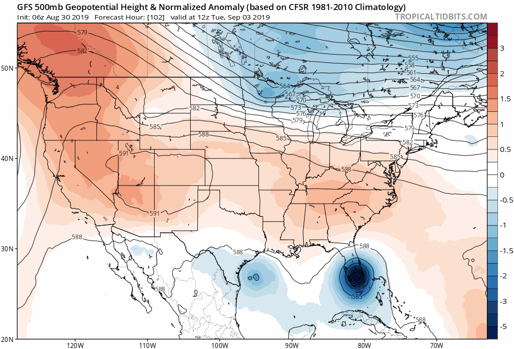
Taking your eye off the storm itself for a second, to me, the trough that is coming down over CONUS looks like it is backing away a little bit, and the High/East of Dorian to the north seems to be building back in a bit over the last couple runs. If these features keep changing like this on run to run, i wouldn't sound the all clear for anyone on the Southern East Coast of the US.
https://media.giphy.com/media/gdZqYNdHnTO641ymqJ/source.gif
Ahh, you are paying close attention to synoptic details!! Terrific observations!! I have been monitoring this closely as well. It is CRITICAL with regards to the immediate short term situation with Dorian.
FOLKS. DO NOT LET YOUR GuARDS DOWN!!!!!
This is still a very complicated and fluid sitiation.
2 likes
NEVER, EVER SAY NEVER in the tropics and weather in general, and most importantly, with life itself!!
________________________________________________________________________________________
Fay 2008 Beryl 2012 Debby 2012 Colin 2016 Hermine 2016 Julia 2016 Matthew 2016 Irma 2017 Dorian 2019
________________________________________________________________________________________
Fay 2008 Beryl 2012 Debby 2012 Colin 2016 Hermine 2016 Julia 2016 Matthew 2016 Irma 2017 Dorian 2019
-
Blown Away

- S2K Supporter
- Posts: 10253
- Joined: Wed May 26, 2004 6:17 am
Re: ATL: DORIAN - Models
chris_fit wrote:Many of the 06Z EPS bend back W at the end...
Question... If the stall occurs for long enough, is there another ridge or anything that can build in and bend it back W? Or even a loop like Jeanne if it were to turn N, NE, and then loops around?
06z/18z Euro goes out only 90 hrs, so I think your seeing the NNW movement begin after slowdown/stall, but if you go beyond 90 hrs on 12z/00z Dorian turns NE.
0 likes
Hurricane Eye Experience: David 79, Irene 99, Frances 04, Jeanne 04, Wilma 05… Hurricane Brush Experience: Andrew 92, Erin 95, Floyd 99, Matthew 16, Irma 17, Ian 22, Nicole 22…
-
Blown Away
- S2K Supporter
- Posts: 10253
- Joined: Wed May 26, 2004 6:17 am
Re: ATL: DORIAN - Models
DESTRUCTION5 wrote:https://my.sfwmd.gov/dbhydroplsql/dbhydro_web_qry.storm_display
Despite the 06z Euro there NHC still well west of the morning runs including TCVN. I would expect another right shift at 11.
I think NHC is slowly moving away from Florida, just to clear those few outliers ensembles that show a close call or impact to Florida... They will continue moving towards the TVCN if it continues being right of their forecast track.
0 likes
Hurricane Eye Experience: David 79, Irene 99, Frances 04, Jeanne 04, Wilma 05… Hurricane Brush Experience: Andrew 92, Erin 95, Floyd 99, Matthew 16, Irma 17, Ian 22, Nicole 22…
-
USTropics
- Professional-Met

- Posts: 2738
- Joined: Sun Aug 12, 2007 3:45 am
- Location: Florida State University
Re: ATL: DORIAN - Models
Canelaw99 wrote:DESTRUCTION5 wrote:https://my.sfwmd.gov/dbhydroplsql/dbhydro_web_qry.storm_display
Despite the 06z Euro there NHC still well west of the morning runs including TCVN. I would expect another right shift at 11.
How are there so many SO far right of NHC track? The storm, as of now, seems to be headed more west. Even the NHC disco stated they expect westerly-ish movement. For some of those to verify, it would almost have to start going NW pretty soon, I would think ??? Help explain to us non-met people, please
Models are just tools, they calculate differential and calculus mathematical equations governing the physics and motion of the atmosphere. They're never perfect, and a track towards and then paralleling Florida is always one of the most difficult to forecast. A positional error 50 miles west or east has a huge impact on where Dorian could go.
3 likes


-
northjaxpro
- S2K Supporter
- Posts: 8900
- Joined: Mon Sep 27, 2010 11:21 am
- Location: Jacksonville, FL
Re: ATL: DORIAN - Models
toad strangler wrote:https://twitter.com/RyanMaue/status/1167790679763951618
A very subtle , ever so slight shift SW this model packsge from the previous 00Z.
2 likes
NEVER, EVER SAY NEVER in the tropics and weather in general, and most importantly, with life itself!!
________________________________________________________________________________________
Fay 2008 Beryl 2012 Debby 2012 Colin 2016 Hermine 2016 Julia 2016 Matthew 2016 Irma 2017 Dorian 2019
________________________________________________________________________________________
Fay 2008 Beryl 2012 Debby 2012 Colin 2016 Hermine 2016 Julia 2016 Matthew 2016 Irma 2017 Dorian 2019
-
SEASON_CANCELED

- Category 3

- Posts: 887
- Joined: Mon Jul 06, 2009 5:17 am
- Location: 8 Bit Charlie Sheen
Re: ATL: DORIAN - Models
I have a feeling these models will shift back west or even further east...the storm is too far out still.
These models dont really becone a sure thing until 36 hours out.
Just sayin
These models dont really becone a sure thing until 36 hours out.
Just sayin
0 likes
i am a big stupid ugly moron with an ugly face and a big butt and my butt stinks and i like to kiss my own butt

-
stormlover2013
Re: ATL: DORIAN - Models
Now we have a trend, around 8-10 days out models give us what could happen then around 4-6 days it flip flops little bit and makes our head hurt then around 2-3 days we start getting a trend and it always happens...the man up stairs could be doing the east coast of Florida and up around Carolinas a fav because this weird storm could miss the States which would be awesome !!
0 likes
Who is online
Users browsing this forum: No registered users and 48 guests