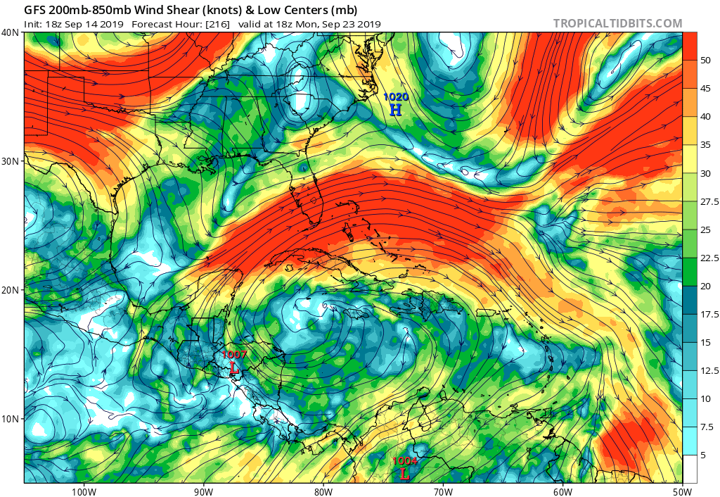
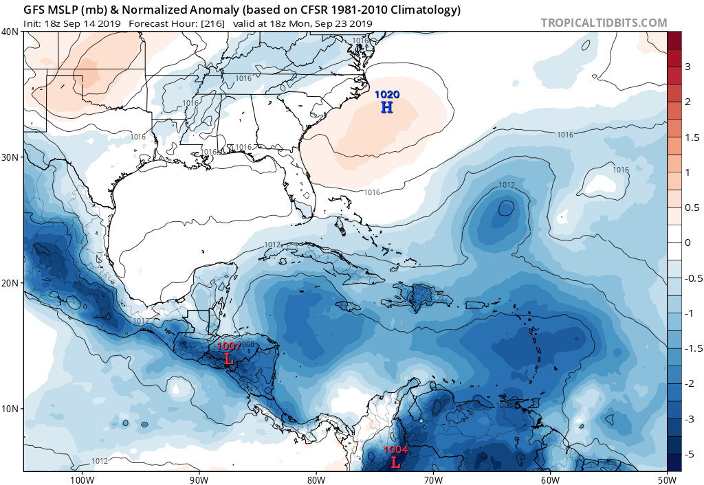
Steve wrote:Also you can see the umbrella shape which was depicted in some of the models before they could resolve there would be split energy instead of a TS in the NE Gulf. No models really do anything with it except the NAM and RGEM do hint at some turning - just nothing past infant stage.
Lowest gulf pressures were near the Southwest Florida coast, Tampa buoy further north has dropped from 1023mb to 1015mb over the last couple days. Lots of shear induced convection with outflow boundaries in the visible imagery earlier. Something could spin up in another day or so.