


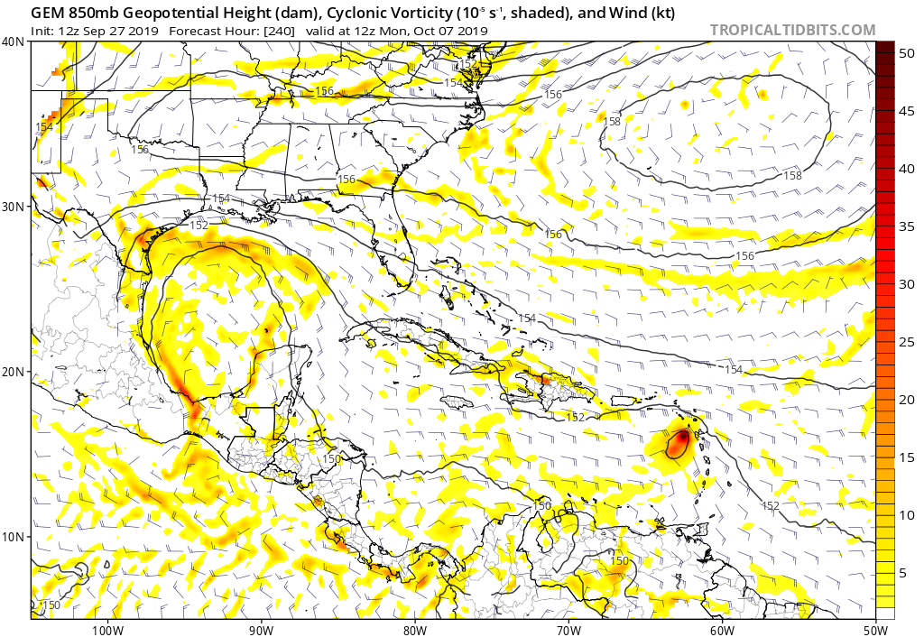
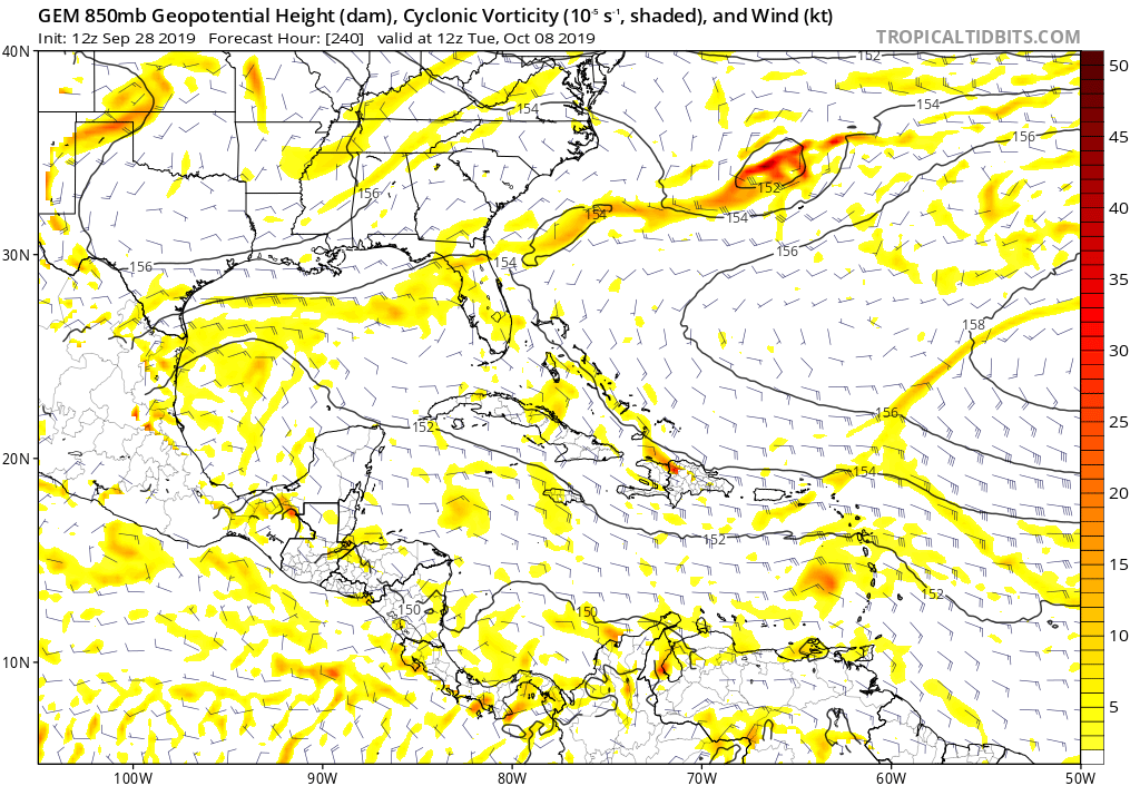
LarryWx wrote:blp wrote:LarryWx wrote:The 12Z EPS is still another EPS that says that the last couple of days of GEFS runs are likely out to lunch with their W Caribbean TC 10/8+. It has very little activity then. This tells me that the GEFS runs could very well be tracking a phantom, something it is known for there in October.
Hard to say because the EPS does not go out as far as GEFS. If you look at the GEFS during 240hr looks pretty barren as well. We need to wait a few more runs.
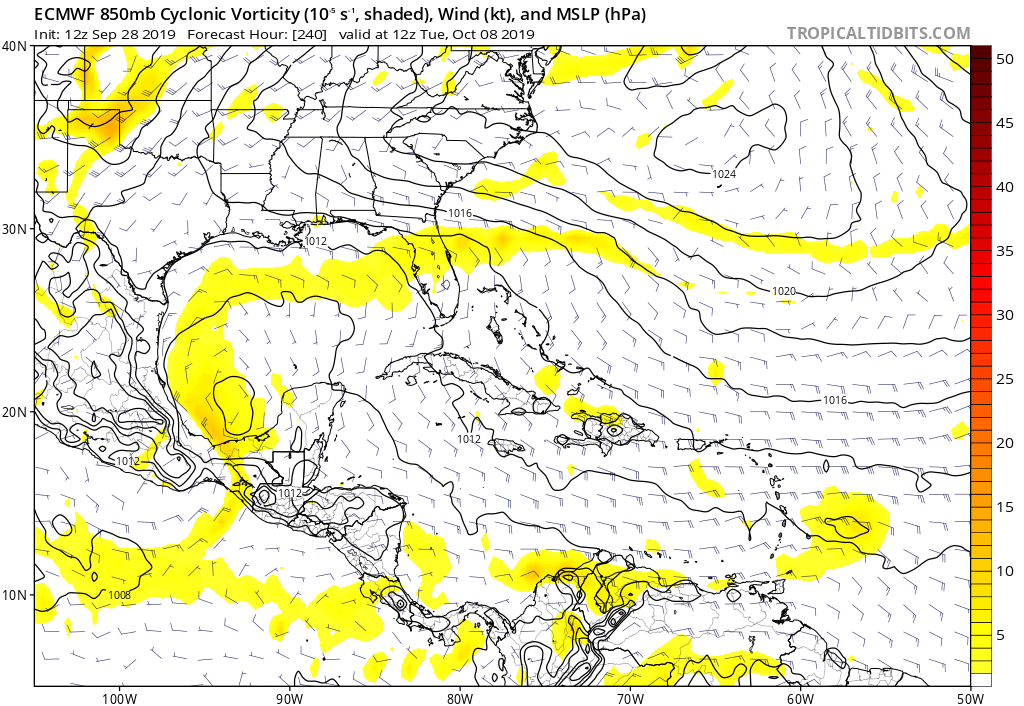
The EPS goes out to 360 and it has next to nothing during the days leading by up to 360.
I did count 6 out of 51 members that do have something in the western Caribbean and the Bay of Campeche around 348 hrs. This is a 1 member increase over the 00 z 360 hr forecast.


