
Now, just 2.5 days of runs later. this is the very quiet 0Z 10/18 map from the Wed 18Z run: horrible consistency

Moderator: S2k Moderators


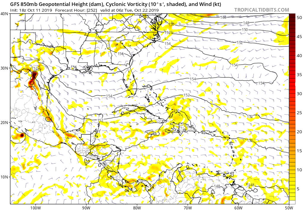
gatorcane wrote:The GFS is trying to develop Olgain the deep Southern Caribbean from a monsoon trough that forms in about 10-12 days. Could this trough spawn the October mega storm we are expecting the Western Caribbean to produce? Or will this be another flop of the GFS model?
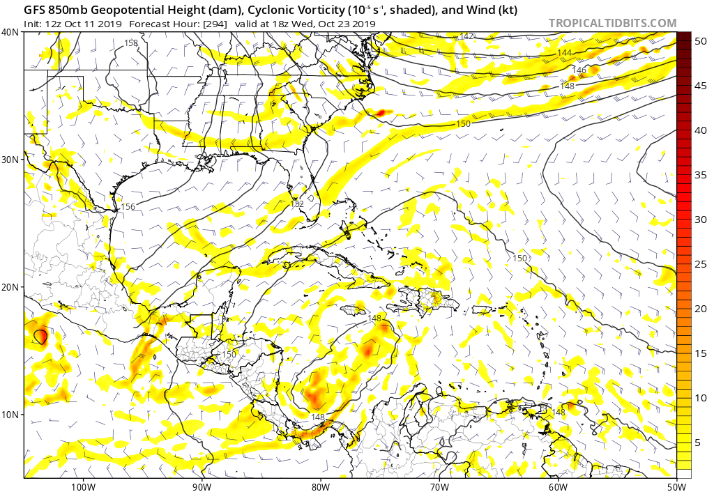
https://i.postimg.cc/mkXqF2bC/gfs-z850-vort-watl-50.png


SFLcane wrote:EPS a bit active this afternoon in terms of the Carib after 00z dropped it. Still long range so we will see


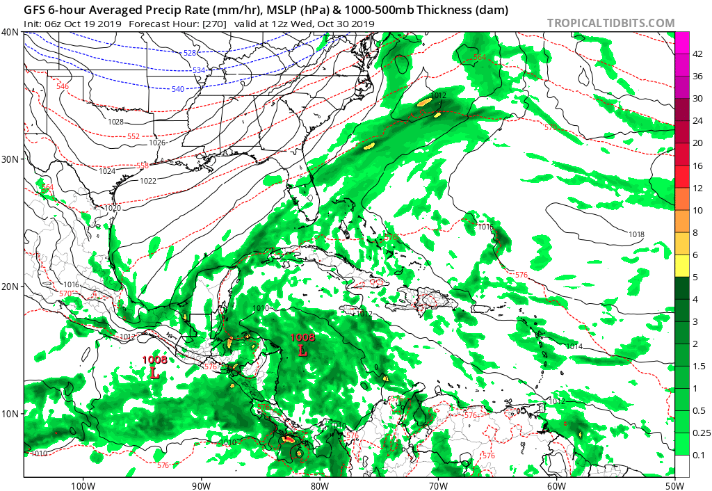
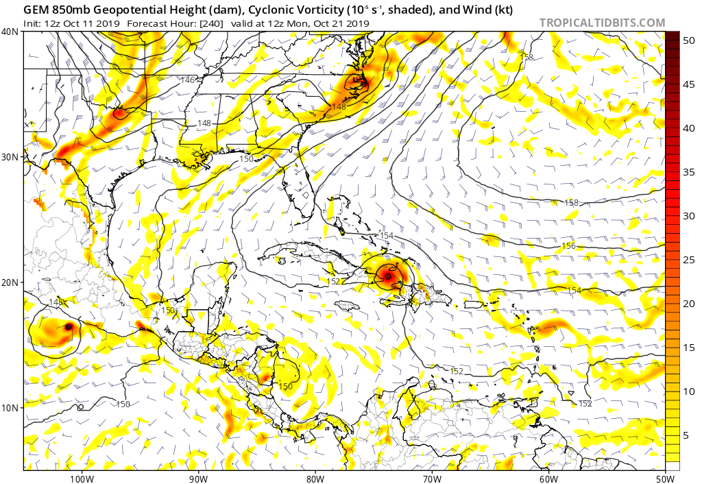
gatorcane wrote:Looks like some models are showing some development in the NW Caribbean area in the 7-10 day range. ICON with a 1008mb low, NAVGEM has a broad low as well which later develops into Olga, there are a few EPS members which develop something now also. The Euro, GFS, and UKMET show some disturbed weather developing but no development. Looks like those models push the area into Central America. But, ridging over the Gulf and Florida doesn’t look as pronounced this time around so we will see if models start coming on board here with some kind of system which moves more north in the Western Caribbean.
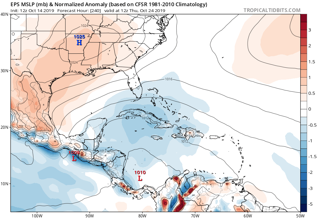
gatorcane wrote:The 12Z EPS has 6 members which form a storm in the NW Caribbean in about 6-7 days taking the storm north then NE into Southern / SW Florida and SE GOM. That is a bit of an uptick from 00Z which didn’t show much. Strongest member looks to be 992MB

gatorcane wrote:The 12Z EPS has 6 members which form a storm in the NW Caribbean in about 6-7 days taking the storm north then NE into Southern / SW Florida and SE GOM. That is a bit of an uptick from 00Z which didn’t show much. Strongest member looks to be 992MB

Users browsing this forum: No registered users and 54 guests
