CPAC: INVEST 93C
Moderator: S2k Moderators
-
Nancy Smar

- Category 5

- Posts: 1081
- Age: 25
- Joined: Wed Aug 16, 2017 10:03 pm
CPAC: INVEST 93C
EP, 91, 2019102106, , BEST, 0, 87N, 1389W, 30, 1008, LO, 34, NEQ, 0, 0, 0, 0, 1012, 120, 40, 0, 0, E, 0, , 0, 0, INVEST, S, 0, , 0, 0, 0, 0, genesis-num, 043, SPAWNINVEST, ep782019 to ep912019,
Last edited by Nancy Smar on Mon Oct 21, 2019 5:54 pm, edited 1 time in total.
1 likes
-
Kingarabian

- S2K Supporter

- Posts: 16384
- Joined: Sat Aug 08, 2009 3:06 am
- Location: Honolulu, Hawaii
-
Kingarabian
- S2K Supporter
- Posts: 16384
- Joined: Sat Aug 08, 2009 3:06 am
- Location: Honolulu, Hawaii
Re: EPAC: INVEST 91E
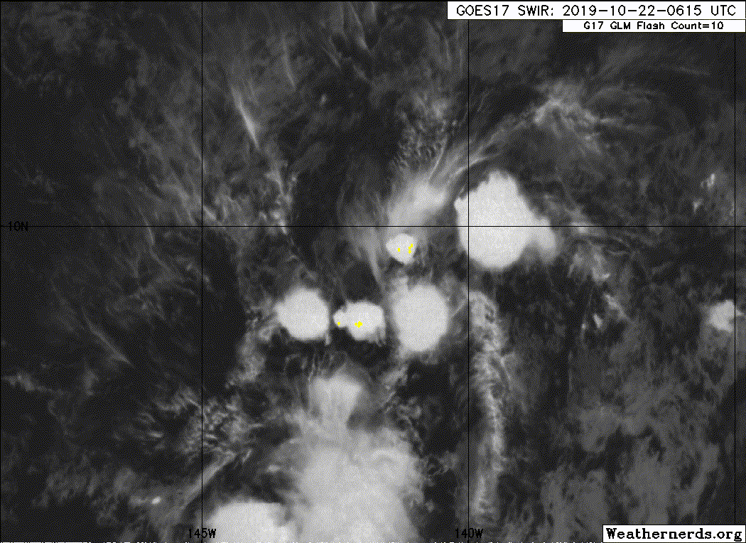
Has maybe about 48 hours to develop into something.

Tropical Weather Outlook
NWS Central Pacific Hurricane Center Honolulu HI
800 AM HST Mon Oct 21 2019
For the central North Pacific...between 140W and 180W:
1. Showers and thunderstorms associated with a well-defined low
pressure system located about 1800 miles southeast of Hilo, Hawaii
have increased and become a little better organized since Sunday.
Environmental conditions appear conducive for additional development
of this system, and a tropical depression could form during the next
couple of days while the system moves westward to west-northwestward
at about 10 mph. Upper-level winds are expected to become less
favorable for development by the middle to latter part of the week.
* Formation chance through 48 hours...medium...40 percent.
* Formation chance through 5 days...medium...40 percent.
Elsewhere, no tropical cyclones are expected during the next 5 days.
Forecaster Kino
0 likes
RIP Kobe Bryant
-
Nancy Smar
- Category 5
- Posts: 1081
- Age: 25
- Joined: Wed Aug 16, 2017 10:03 pm
Re: CPAC: INVEST 93C
CP, 93, 2019102118, , BEST, 0, 94N, 1401W, 30, 1008, LO, 34, NEQ, 0, 0, 0, 0, 1009, 90, 85, 0, 0, C, 0, , 0, 0, INVEST, M, 0, , 0, 0, 0, 0, genesis-num, 043,
0 likes
-
Sciencerocks
- Category 5
- Posts: 10194
- Age: 40
- Joined: Thu Jul 06, 2017 1:51 am
Who is online
Users browsing this forum: No registered users and 34 guests