91A INVEST 191201 1800 7.9N 73.3E IO 15 0
NIO: Deep Depression (IMD)
Moderator: S2k Moderators
-
Nancy Smar

- Category 5

- Posts: 1081
- Age: 25
- Joined: Wed Aug 16, 2017 10:03 pm
-
doomhaMwx

- Category 5
- Posts: 2495
- Age: 27
- Joined: Tue Apr 18, 2017 4:01 am
- Location: Baguio/Benguet, Philippines
- Contact:
Re: NIO: INVEST 91A
Global models are inconsistent with this. Some runs showed a weak short-lived TS developing over the central Arabian Sea.
It's a small system though. It's possible that the models are not handling the system well. It already has a defined circulation to begin with, although still weak. Actually reminds me of the disturbance that became Hikaa from a few months ago.


It's a small system though. It's possible that the models are not handling the system well. It already has a defined circulation to begin with, although still weak. Actually reminds me of the disturbance that became Hikaa from a few months ago.
AN AREA OF CONVECTION (INVEST 91A) HAS PERSISTED NEAR 7.9N
73.3E, APPROXIMATELY 214 NM SOUTHWEST OF COCHIN, INDIA. ANIMATED
INFRARED IMAGERY DEPICTS FLARING CONVECTION OVER A DISORGANIZED
CIRCULATION. A 011648 METOP-B PASS SHOWS A WEAK, BUT DEFINED
CIRCULATION. THE UPPER LEVEL ENVIRONMENT IS MODERATELY FAVORABLE FOR
DEVELOPMENT LOW (<15 KTS) VERTICAL WIND SHEAR AND WEAK OUTFLOW. SEA
SURFACE TEMPERATURES ARE FAVORABLE AT 27-28C. GLOBAL MODELS ARE IN
GENERAL AGREEMENT SHOWING 91A TRACKING NORTHWESTWARD WITH MINIMAL
INTENSIFICATION. MAXIMUM SUSTAINED SURFACE WINDS ARE ESTIMATED AT 10
TO 15 KNOTS. MINIMUM SEA LEVEL PRESSURE IS ESTIMATED TO BE NEAR 1010
MB. THE POTENTIAL FOR THE DEVELOPMENT OF A SIGNIFICANT TROPICAL
CYCLONE WITHIN THE NEXT 24 HOURS IS LOW.
0 likes
-
wxman57

- Moderator-Pro Met

- Posts: 23175
- Age: 68
- Joined: Sat Jun 21, 2003 8:06 pm
- Location: Houston, TX (southwest)
Re: NIO: INVEST 91A
Looks more impressive than the depression in the western Arabian Sea. May already be a TC. India is pretty much ignoring it.

0 likes


-
doomhaMwx
- Category 5
- Posts: 2495
- Age: 27
- Joined: Tue Apr 18, 2017 4:01 am
- Location: Baguio/Benguet, Philippines
- Contact:
Re: NIO: INVEST 91A
Good call by JTWC, but it might be much stronger than 35kts now. It's a small system.


0 likes

Re: NIO: INVEST 91A
Imran_doomhaMwx wrote:Good call by JTWC, but it might be much stronger than 35kts now. It's a small system.
https://i.imgur.com/AJVuHXb.jpg
https://i.imgur.com/tZP80XP.gif
I can see this becoming much stronger than anticipated, possibly to Cat 1-2 status because of the tiny forming eyewall and the high SSTs/OHC in its location. It’s already looking pretty good; convection is wrapping around the center nicely and outflow is decent.
0 likes
Irene '11 Sandy '12 Hermine '16 5/15/2018 Derecho Fay '20 Isaias '20 Elsa '21 Henri '21 Ida '21
I am only a meteorology enthusiast who knows a decent amount about tropical cyclones. Look to the professional mets, the NHC, or your local weather office for the best information.
I am only a meteorology enthusiast who knows a decent amount about tropical cyclones. Look to the professional mets, the NHC, or your local weather office for the best information.
-
wxman57
- Moderator-Pro Met
- Posts: 23175
- Age: 68
- Joined: Sat Jun 21, 2003 8:06 pm
- Location: Houston, TX (southwest)
Re: NIO: INVEST 91A
Note that officially, the IMD is calling this a "well-marked low" (not even a depression) with a Dvorak of 1.0. It is not a TC, according to them. Incredible...
Conditions are currently favorable, but that's not the case beyond 24 hours.
Conditions are currently favorable, but that's not the case beyond 24 hours.
0 likes
-
wxman57
- Moderator-Pro Met
- Posts: 23175
- Age: 68
- Joined: Sat Jun 21, 2003 8:06 pm
- Location: Houston, TX (southwest)
Re: NIO: INVEST 91A (JTWC - TC 07A)
ASCAT-B confirms 40-45kt winds as of 16Z. It's stronger now. Have I said that I just cannot believe IMD (the official RSMC of the basin) lately?

0 likes
Re: NIO: INVEST 91A (JTWC - TC 07A)
0 likes
Irene '11 Sandy '12 Hermine '16 5/15/2018 Derecho Fay '20 Isaias '20 Elsa '21 Henri '21 Ida '21
I am only a meteorology enthusiast who knows a decent amount about tropical cyclones. Look to the professional mets, the NHC, or your local weather office for the best information.
I am only a meteorology enthusiast who knows a decent amount about tropical cyclones. Look to the professional mets, the NHC, or your local weather office for the best information.
-
wxman57
- Moderator-Pro Met
- Posts: 23175
- Age: 68
- Joined: Sat Jun 21, 2003 8:06 pm
- Location: Houston, TX (southwest)
Re: NIO: INVEST 91A (JTWC - TC 07A)
aspen wrote::uarrow: Looks like the JTWC isn’t the only RSMC that’s been slacking since October.
JTWC is not an official RSMC for any basin.
0 likes
Re: NIO: INVEST 91A (JTWC - TC 07A)
wxman57 wrote:aspen wrote::uarrow: Looks like the JTWC isn’t the only RSMC that’s been slacking since October.
JTWC is not an official RSMC for any basin.
Wait, it’s not?
0 likes
Irene '11 Sandy '12 Hermine '16 5/15/2018 Derecho Fay '20 Isaias '20 Elsa '21 Henri '21 Ida '21
I am only a meteorology enthusiast who knows a decent amount about tropical cyclones. Look to the professional mets, the NHC, or your local weather office for the best information.
I am only a meteorology enthusiast who knows a decent amount about tropical cyclones. Look to the professional mets, the NHC, or your local weather office for the best information.
-
Grifforzer
- Category 1

- Posts: 418
- Joined: Thu Feb 26, 2009 11:27 pm
Re: NIO: INVEST 91A (JTWC - TC 07A)
aspen wrote:wxman57 wrote:aspen wrote::uarrow: Looks like the JTWC isn’t the only RSMC that’s been slacking since October.
JTWC is not an official RSMC for any basin.
Wait, it’s not?
yes, since 1999-2000.
Japan Meteorological Agency took over for the WPAC. India Meteorological Department took over for the Northern Indian ocean
0 likes
-
Grifforzer
- Category 1
- Posts: 418
- Joined: Thu Feb 26, 2009 11:27 pm
Re: NIO: INVEST 91A (JTWC - TC 07A)
India Meteorological Department likely has Depression ARB 06-2019 at 2330PM IST advisory.
Dvorak from satellite bulletin is at T1.5
Dvorak from satellite bulletin is at T1.5
0 likes
-
wxman57
- Moderator-Pro Met
- Posts: 23175
- Age: 68
- Joined: Sat Jun 21, 2003 8:06 pm
- Location: Houston, TX (southwest)
Re: NIO: INVEST 91A (JTWC - TC 07A)
Grifforzer wrote:India Meteorological Department likely has Depression ARB 06-2019 at 2330PM IST advisory.
Dvorak from satellite bulletin is at T1.5
That's about 2 Dvorak points too low. Winds are likely near 50-55 kts.
0 likes
-
wxman57
- Moderator-Pro Met
- Posts: 23175
- Age: 68
- Joined: Sat Jun 21, 2003 8:06 pm
- Location: Houston, TX (southwest)
Re: NIO: INVEST 91A (JTWC - TC 07A)
aspen wrote:wxman57 wrote:aspen wrote::uarrow: Looks like the JTWC isn’t the only RSMC that’s been slacking since October.
JTWC is not an official RSMC for any basin.
Wait, it’s not?
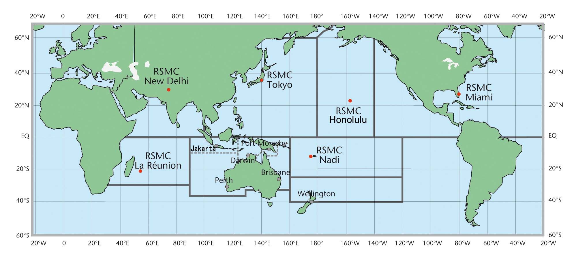
Here are the RSMC regions. As you can see, JTWC is not listed for any region:
0 likes
Re: NIO: Depression (IMD) / TC 07A (JTWC)
07A has been upgraded to 45 kt/999 mbar in the 00z best track update, in agreement with the ASCAT-B observations from earlier today.
0 likes
Irene '11 Sandy '12 Hermine '16 5/15/2018 Derecho Fay '20 Isaias '20 Elsa '21 Henri '21 Ida '21
I am only a meteorology enthusiast who knows a decent amount about tropical cyclones. Look to the professional mets, the NHC, or your local weather office for the best information.
I am only a meteorology enthusiast who knows a decent amount about tropical cyclones. Look to the professional mets, the NHC, or your local weather office for the best information.
-
wxman57
- Moderator-Pro Met
- Posts: 23175
- Age: 68
- Joined: Sat Jun 21, 2003 8:06 pm
- Location: Houston, TX (southwest)
Re: NIO: Depression (IMD) / TC 07A (JTWC)
aspen wrote:07A has been upgraded to 45 kt/999 mbar in the 00z best track update, in agreement with the ASCAT-B observations from earlier today.
I think it's at 50 kts, but IMD still officially has it as a "depression" with Dvorak of 1.5/2.0 and winds of 30 kts. They say it might become a "deep depression" within 24 hours. I just don't understand what they are looking at. All scatterometer data indicate 45-50 kts at least. Microwave still indicates a partial eyewall, but not as complete as 6 hours ago. It may have peaked already.
0 likes
-
doomhaMwx
- Category 5
- Posts: 2495
- Age: 27
- Joined: Tue Apr 18, 2017 4:01 am
- Location: Baguio/Benguet, Philippines
- Contact:
Re: NIO: Depression (IMD) / TC 07A (JTWC)
SATCON estimates were about 55kts between 20Z-23Z, at the time of the microwave passes below. Estimates have been steadily decreasing since then.


The system has likely peaked already. Latest VIS images show that the LLCC is becoming exposed as the system enters an area of moderate-strong shear.


2019 IO 07 337.844 2019DEC03 201500 14.13 -69.61 3 993 54
2019 IO 07 337.865 2019DEC03 204500 13.78 -69.32 3 992 56
2019 IO 07 337.885 2019DEC03 211500 13.82 -69.28 3 993 54
2019 IO 07 337.927 2019DEC03 221500 13.91 -69.19 3 992 56
2019 IO 07 337.948 2019DEC03 224500 13.95 -69.15 3 992 54
2019 IO 07 337.865 2019DEC03 204500 13.78 -69.32 3 992 56
2019 IO 07 337.885 2019DEC03 211500 13.82 -69.28 3 993 54
2019 IO 07 337.927 2019DEC03 221500 13.91 -69.19 3 992 56
2019 IO 07 337.948 2019DEC03 224500 13.95 -69.15 3 992 54
The system has likely peaked already. Latest VIS images show that the LLCC is becoming exposed as the system enters an area of moderate-strong shear.
1 likes
-
doomhaMwx
- Category 5
- Posts: 2495
- Age: 27
- Joined: Tue Apr 18, 2017 4:01 am
- Location: Baguio/Benguet, Philippines
- Contact:
Re: NIO: Depression (IMD) / TC 07A (JTWC)
The system appears to be quickly decoupling now. IMD is still calling it a deep depression and says " "it is very likely to intensify into a Cyclonic Storm during next 12 hours".
It would really be ironic if IMD still upgrades this into a cyclonic storm later (but I guess I'm fine with that as long as it officially receives a name from them).

By the way, JTWC revised the best track. 07A is now first listed as a 35kts TS on 12/03 06Z (originally 12Z) and peak intensity increased to 50kts. Interesting that they added a 21Z estimate.
It would really be ironic if IMD still upgrades this into a cyclonic storm later (but I guess I'm fine with that as long as it officially receives a name from them).
By the way, JTWC revised the best track. 07A is now first listed as a 35kts TS on 12/03 06Z (originally 12Z) and peak intensity increased to 50kts. Interesting that they added a 21Z estimate.
07A SEVEN 191204 0600 14.7N 69.0E IO 45 998
07A SEVEN 191204 0000 14.3N 69.5E IO 50 996
07A SEVEN 191203 2100 14.0N 69.7E IO 50 997
07A SEVEN 191203 1800 13.6N 69.8E IO 45 1000
07A SEVEN 191203 1200 13.0N 70.4E IO 40 999
07A SEVEN 191203 0600 12.7N 70.8E IO 35 996
07A SEVEN 191204 0000 14.3N 69.5E IO 50 996
07A SEVEN 191203 2100 14.0N 69.7E IO 50 997
07A SEVEN 191203 1800 13.6N 69.8E IO 45 1000
07A SEVEN 191203 1200 13.0N 70.4E IO 40 999
07A SEVEN 191203 0600 12.7N 70.8E IO 35 996
0 likes
-
wxman57
- Moderator-Pro Met
- Posts: 23175
- Age: 68
- Joined: Sat Jun 21, 2003 8:06 pm
- Location: Houston, TX (southwest)
Re: NIO: Deep Depression (IMD)
After becoming so strong yesterday with at least a partial eyewall, it's near death today. Little swirl of a center is tracking west, away from its dissipating convection. Won't be around much longer. Of course, India says it has become better-organized and will become a cyclone...
0 likes
Who is online
Users browsing this forum: No registered users and 65 guests