NOW 2020:

2017:

2010:

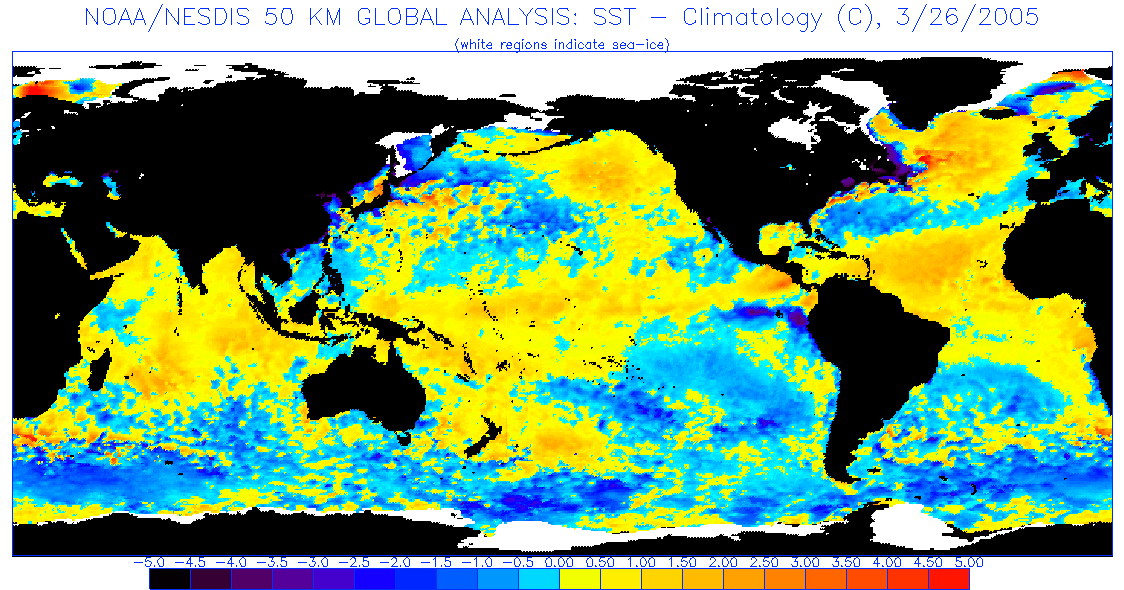
2005:

From what I can tell, 2010 seems to be about the closest match to the current heat content out in the Atlantic. I believe 2010 set a couple of record warm anomalies in the MDR region in the spring/early summer, it even beat out 2005, and the MDR was active that year, it was a very impressive season.
Now, other factors go into a season besides SST anomalies and the heat content that is available, but with heat content like this currently available, I believe it is quite possible it will continue to build, and we may end up seeing some pretty impressive warmth in the MDR during the hurricane season, and if you look at current SST anomalies, there already is.
On a quick side note, speaking of warm anomalies in the MDR, on a couple of occasions I’ve seen mention of the term Atlantic Nino. Currently along the equator between S. America and Africa, there are quite a few warm anomalies, does anyone know if this is an Atlantic Nino currently? I haven’t seen a lot of info on the subject, so I don’t know if there are any definitions for it, or qualifications that have to be met, or if this is just a loose term that hasn’t really been defined or given a lot of scientific merit.
I haven’t really set down numbers yet in my head, I’m watching other factors too and just waiting patiently to get past the spring predictability barrier, and I know that my numbers will probably change, possibly by quite a bit, once we get into May and we all start posting our numbers in the seasonal numbers thread. One idea I am starting to give more weight too though is the possibility of some pretty decent ACE generation out in the MDR this year. I think we have the potential setting up for some CV long-trackers, and with SSTs and heat content building like this in March, I think they will have a pretty high ceiling, maybe Irma or Isabel-like potential. NOTE: I am not forecasting another Irma or Isabel, just saying I think conditions may be setting up for a storm to potentially reach those kind of heights intensity-wise if all other factors come together in that storm’s favor.
I am really looking forward to when the seasonal thread opens up and everyone starts posting their thoughts and numbers, and I’m looking forward to passing the SPB. It’ll be interesting if forecasts start to flip once we get past that point.