For reference on how high that is

Moderator: S2k Moderators


Imran_doomhaMwx wrote:According to the latest modelling by IMD, storm surge heights of ≥ 5.5m (18ft) are expected in much of the coasts of the West Bengal. Note that this is based on IMD's forecast track, which is a bit more west than JTWC's.
https://i.imgur.com/vAJxclh.png
For reference on how high that is
https://upload.wikimedia.org/wikipedia/commons/thumb/5/57/Tsunami_size_scale_26Dec2004.png/320px-Tsunami_size_scale_26Dec2004.png

Imran_doomhaMwx wrote:https://i.imgur.com/T5l6h0K.gif


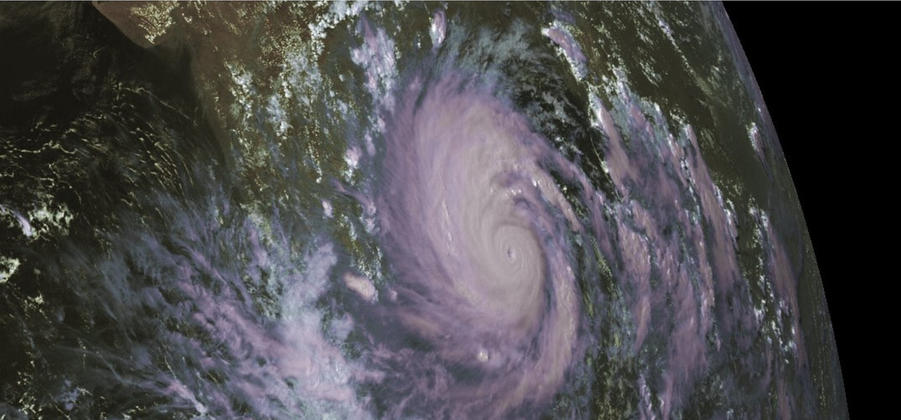
Nancy Smar wrote:01B AMPHAN 200518 0600 13.6N 86.4E IO 140 911
"The Extremely Severe Cyclonic Storm 'AMPHAN' (pronounced as UM-PUN) intensified into Super Cyclonic Storm at 1130 IST of today, the 18th May, 2020 (sic)," the India Meteorological Department or IMD tweeted this afternoon.

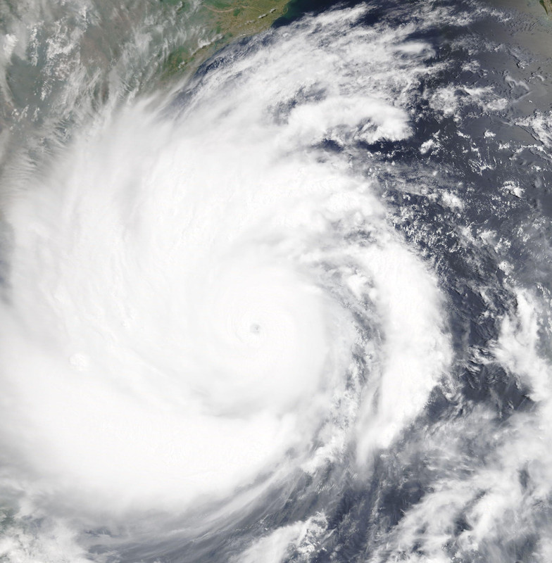
al78 wrote:There is some hope in that JTWC have it weakening down to a category 1 at landfall, which should significantly lessen the impacts.

aspen wrote:It looks like Amphan will begin an EWRC, but will it finish before landfall? It could either finish soon and lead to another burst of intensification, or the combination of the EWRC and some shear could permanently cripple the core, weakening the whole storm significantly before landfall.
Users browsing this forum: No registered users and 37 guests