Shell Mound wrote:StruThiO wrote:https://twitter.com/NHC_TAFB/status/1272963874258444288
The strength of the SAL outbreak is likely attributable to the higher-than-normal amplitude of African easterly waves, meaning favourable indicator(s) of activity.
The atmosphere is beginning to respond to the developing La Nina, and has created enhanced easterlies along the equator. This has created anomalous cooling in the Atlantic Equatorial mode that has developed in the past week (see 30d animation below):

We typically see this occurring during budding La Nina's, as seen in recent seasons:

This is a dangerous pattern, as it promotes higher SSTs in the northern tropical Atlantic as well as increased instability.

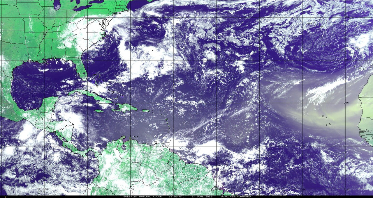
The ITCZ is also influenced by this, as it naturally will propagate towards the warmer side of the Atlantic (which is currently the NATL). In fact, we've seen this trend over the past 10 days, with a sharp jump north in the western branch of the ITCZ in response to the aforementioned cooling above:

Increased easterlies, pressure gradient changes as the ITCZ lifts north, and a large baroclinic system over NW Africa/Spain has created the right environment for the large SAL outbreak we're currently seeing as well.
[youtube]https://youtu.be/r4uIZPjD4QA[/youtube]