ATL: HANNA - Remnants - Discussion
Moderator: S2k Moderators
-
TheProfessor

- Professional-Met

- Posts: 3506
- Age: 29
- Joined: Tue Dec 03, 2013 10:56 am
- Location: Wichita, Kansas
Re: ATL: INVEST 91L - Discussion
Hoping we can get some good rain here in southeast Louisiana before the bulk of this system moves towards Texas. Nothing crazy, 1-3" would be nice. Looks like Southshore will have a better chance like with pre-90L though.
0 likes
An alumnus of The Ohio State University.
Your local National Weather Service office is your best source for weather information.
Your local National Weather Service office is your best source for weather information.


Re: ATL: INVEST 91L - Discussion
Really good UL divergence north of the cell that has the popup box (high lightning strikes, north of Havana).
This one may already do the trick.
This one may already do the trick.
3 likes
-
Aric Dunn
- Category 5

- Posts: 21238
- Age: 43
- Joined: Sun Sep 19, 2004 9:58 pm
- Location: Ready for the Chase.
- Contact:
Re: ATL: INVEST 91L - Discussion
A few of the EPS are show low 990mb as it approaches texas.
0 likes
Note: If I make a post that is brief. Please refer back to previous posts for the analysis or reasoning. I do not re-write/qoute what my initial post said each time.
If there is nothing before... then just ask
Space & Atmospheric Physicist, Embry-Riddle Aeronautical University,
I believe the sky is falling...
If there is nothing before... then just ask
Space & Atmospheric Physicist, Embry-Riddle Aeronautical University,
I believe the sky is falling...
-
jaguars_22
- Category 2

- Posts: 629
- Joined: Tue Jun 20, 2017 2:26 pm
- Location: Victoria TX
Re: ATL: INVEST 91L - Discussion
Aric Dunn do you think this will hit Mid Texas coast? I'm in Victoria so i'm liking what i see with rain chances
0 likes
Re: ATL: INVEST 91L - Discussion
Outflow channel already building in to the NE.
Check the ring of UL vorts.
If they start to spread out more, this puppy could take off fast.
Particularly watching that one just south of the Yucatan Channel.
If that dissipates, its game on.
The one over FL should get knocked out by convection.


Check the ring of UL vorts.
If they start to spread out more, this puppy could take off fast.
Particularly watching that one just south of the Yucatan Channel.
If that dissipates, its game on.
The one over FL should get knocked out by convection.
1 likes

Re: ATL: INVEST 91L - Discussion
Surface pressures at the east gulf buoy have been dropping for a while now.
Local POP forecasts have been off due to drier air than expected but by the time this area reaches the Texas coast it could build a moisture envelope.
https://www.ndbc.noaa.gov/show_plot.php ... _label=EDT
Local POP forecasts have been off due to drier air than expected but by the time this area reaches the Texas coast it could build a moisture envelope.
https://www.ndbc.noaa.gov/show_plot.php ... _label=EDT
0 likes
Re: ATL: INVEST 91L - Discussion
That ULL south of the Yucatan Channel may actually be far enough away if the convection north of Havana develops a surface low.
Outflow would ramp up quickly and give a positive feedback to the system.
A ring of ULL vorts is always a main driver for a major TC.

Outflow would ramp up quickly and give a positive feedback to the system.
A ring of ULL vorts is always a main driver for a major TC.
1 likes

Re: ATL: INVEST 91L - Discussion
91L has improved its organization during the day, recon should be a go for tomorrow.

4 likes

-
NXStumpy_Robothing
- Category 1

- Posts: 335
- Age: 25
- Joined: Fri Jun 05, 2020 11:50 pm
- Location: North Georgia
Re: ATL: INVEST 91L - Discussion
The system is surprisingly well-stacked in terms of vorticity. However, a lot of the new convection seems to be converging around an area distinctly east of the 700mb center if that analysis is to be believed. Should be interesting to watch overnight to see if there's any sort of stretching eastward of the energy that occurs.
0 likes
Undergraduate Meteorology Student, Georgia Institute of Technology
-
Monsoonjr99
- Tropical Storm

- Posts: 210
- Age: 26
- Joined: Fri Sep 21, 2018 11:22 pm
- Location: Inland Empire, SoCal
Re: ATL: INVEST 91L - Discussion
The models hate this thing, but the NHC seems keen on it and the Gulf of Mexico and 2020 love their quick spinup storms.
Let's see how this evolves...
Let's see how this evolves...
0 likes
The posts in this forum are NOT official forecasts and should not be used as such. They are just the opinion of the poster and may or may not be backed by sound meteorological data. They are NOT endorsed by any professional institution or STORM2K. For official information, please refer to products from the NHC and NWS.
Some Californian who codes things and tracks weather.
Kay '22, Hilary '23

Re: ATL: INVEST 91L - Discussion
I wonder which is correct?
0 likes
The following post is NOT an official forecast and should not be used as such. It is just the opinion of the poster and may or may not be backed by sound meteorological data. It is NOT endorsed by any professional institution including storm2k.org For Official Information please refer to the NHC and NWS products.
-
Aric Dunn
- Category 5
- Posts: 21238
- Age: 43
- Joined: Sun Sep 19, 2004 9:58 pm
- Location: Ready for the Chase.
- Contact:
Re: ATL: INVEST 91L - Discussion
tailgater wrote:
http://tropic.ssec.wisc.edu/real-time/atlantic/winds/wg8vor3Z-1.GIF
I wonder which is correct?
that is 7 hours old..
and we dont need those images to tell us where we have clear satellite visible ...
0 likes
Note: If I make a post that is brief. Please refer back to previous posts for the analysis or reasoning. I do not re-write/qoute what my initial post said each time.
If there is nothing before... then just ask
Space & Atmospheric Physicist, Embry-Riddle Aeronautical University,
I believe the sky is falling...
If there is nothing before... then just ask
Space & Atmospheric Physicist, Embry-Riddle Aeronautical University,
I believe the sky is falling...
Re: ATL: INVEST 91L - Discussion
Aric Dunn wrote:tailgater wrote:
http://tropic.ssec.wisc.edu/real-time/atlantic/winds/wg8vor3Z-1.GIF
I wonder which is correct?
that is 7 hours old..
and we dont need those images to tell us where we have clear satellite visible ...
Yeah I didn’t refresh
Winds at 10 meters
Conditions at SANF1 as of
(6:30 pm EDT)
2230 GMT on 07/21/2020:
Unit of Measure: Time Zone:
Click on the graph icon in the table below to see a time series plot of the last five days of that observation.
5-day plot - Wind Direction Wind Direction (WDIR): E ( 90 deg true )
5-day plot - Wind Speed Wind Speed (WSPD): 25 kts
5-day plot - Wind Gust Wind Gust (GST): 39 kts
5-day plot - Atmospheric Pressure Atmospheric Pressure (PRES): 29.96 in
5-day plot - Air Temperature Air Temperature (ATMP): 81.1 °F
5-day plot - Dew Point Dew Point (DEWP): 74.8 °F
5-day plot - Heat Index Heat Index (HEAT): 87.1 °F
5-day plot - Wind Speed at 10 Meters Wind Speed at 10 meters (WSPD10M): 23 kts
5-day plot - Wind Speed at 10 Meters Wind Speed at 20 meters (WSPD20M): 25 kts
5-day plot - Wind Speed, Wind Gust and Atmospheric Pressure Combined plot of Wind Speed, Gust, and Air Pressure
2 likes
The following post is NOT an official forecast and should not be used as such. It is just the opinion of the poster and may or may not be backed by sound meteorological data. It is NOT endorsed by any professional institution including storm2k.org For Official Information please refer to the NHC and NWS products.
-
cycloneye

- Admin

- Posts: 149278
- Age: 69
- Joined: Thu Oct 10, 2002 10:54 am
- Location: San Juan, Puerto Rico
Re: ATL: INVEST 91L - Discussion
A tropical wave is producing a large area of disorganized showers
and thunderstorms over the eastern Gulf of Mexico, southern
Florida, and western Cuba. Gradual development of this
system is possible while it moves west-northwestward during the
next few days. This system is expected to move over the central
Gulf on Wednesday, and reach the northwestern Gulf on Thursday and
Friday. An Air Force Reserve Hurricane Hunter aircraft is
scheduled to investigate the system on Wednesday, if necessary.
* Formation chance through 48 hours...low...30 percent.
* Formation chance through 5 days...medium...40 percent.
0 likes
Visit the Caribbean-Central America Weather Thread where you can find at first post web cams,radars
and observations from Caribbean basin members Click Here
and observations from Caribbean basin members Click Here

Re: ATL: INVEST 91L - Discussion
cycloneye wrote:A tropical wave is producing a large area of disorganized showers
and thunderstorms over the eastern Gulf of Mexico, southern
Florida, and western Cuba. Gradual development of this
system is possible while it moves west-northwestward during the
next few days. This system is expected to move over the central
Gulf on Wednesday, and reach the northwestern Gulf on Thursday and
Friday. An Air Force Reserve Hurricane Hunter aircraft is
scheduled to investigate the system on Wednesday, if necessary.
* Formation chance through 48 hours...low...30 percent.
* Formation chance through 5 days...medium...40 percent.
They’re being conservative with those percentages imo.
1 likes
-
tropicwatch

- Category 5
- Posts: 3426
- Age: 62
- Joined: Sat Jun 02, 2007 10:01 am
- Location: Panama City Florida
- Contact:
Re: ATL: INVEST 91L - Discussion
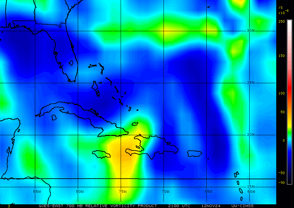
925mb-700mb appears stacked just northwest of Cuba before you get to the southwest bend in the island.
http://tropic.ssec.wisc.edu/real-time/windmain.php?&basin=atlantic&sat=wg8&prod=vor3&zoom=&time=
http://tropic.ssec.wisc.edu/real-time/windmain.php?&basin=atlantic&sat=wg8&prod=vor3&zoom=&time=
0 likes
Tropicwatch
Agnes 72', Eloise 75, Elena 85', Kate 85', Charley 86', Florence 88', Beryl 94', Dean 95', Erin 95', Opal 95', Earl 98', Georges 98', Ivan 2004', Arlene 2005', Dennis 2005', Ida 2009' Debby 2012' Irma 2017' Michael 2018'
Agnes 72', Eloise 75, Elena 85', Kate 85', Charley 86', Florence 88', Beryl 94', Dean 95', Erin 95', Opal 95', Earl 98', Georges 98', Ivan 2004', Arlene 2005', Dennis 2005', Ida 2009' Debby 2012' Irma 2017' Michael 2018'
-
South Texas Storms

- Professional-Met
- Posts: 4256
- Joined: Thu Jun 24, 2010 12:28 am
- Location: Houston, TX
Re: ATL: INVEST 91L - Discussion
Cpv17 wrote:cycloneye wrote:A tropical wave is producing a large area of disorganized showers
and thunderstorms over the eastern Gulf of Mexico, southern
Florida, and western Cuba. Gradual development of this
system is possible while it moves west-northwestward during the
next few days. This system is expected to move over the central
Gulf on Wednesday, and reach the northwestern Gulf on Thursday and
Friday. An Air Force Reserve Hurricane Hunter aircraft is
scheduled to investigate the system on Wednesday, if necessary.
* Formation chance through 48 hours...low...30 percent.
* Formation chance through 5 days...medium...40 percent.
They’re being conservative with those percentages imo.
Yep I think it's closer to 60% development chances right now.
2 likes
-
wxman57

- Moderator-Pro Met

- Posts: 23172
- Age: 68
- Joined: Sat Jun 21, 2003 8:06 pm
- Location: Houston, TX (southwest)
Re: ATL: INVEST 91L - Discussion
I have a 35kt TS making landfall between Corpus Christi & Victoria Friday late afternoon. No significant wind. HOPEFULLY some rain. Only 0.25" with the "rain" from 90L yesterday and today. Not enough to water the grass.
3 likes

Re: ATL: INVEST 91L - Discussion
wxman57 wrote:I have a 35kt TS making landfall between Corpus Christi & Victoria Friday late afternoon. No significant wind. HOPEFULLY some rain. Only 0.25" with the "rain" from 90L yesterday and today. Not enough to water the grass.
91L will definitely not lack for moisture. Hope it will not be too much too fast...
0 likes
Who is online
Users browsing this forum: No registered users and 114 guests